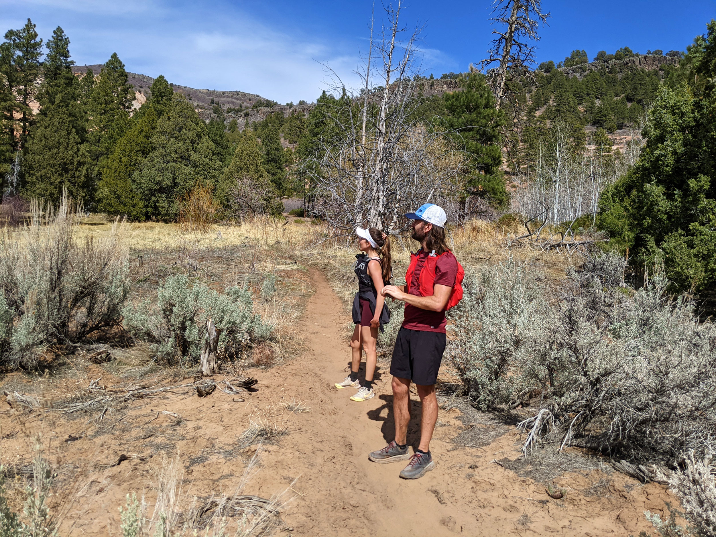
A friend of mine invited me to join her and a friend as they ran across Zion National Park.
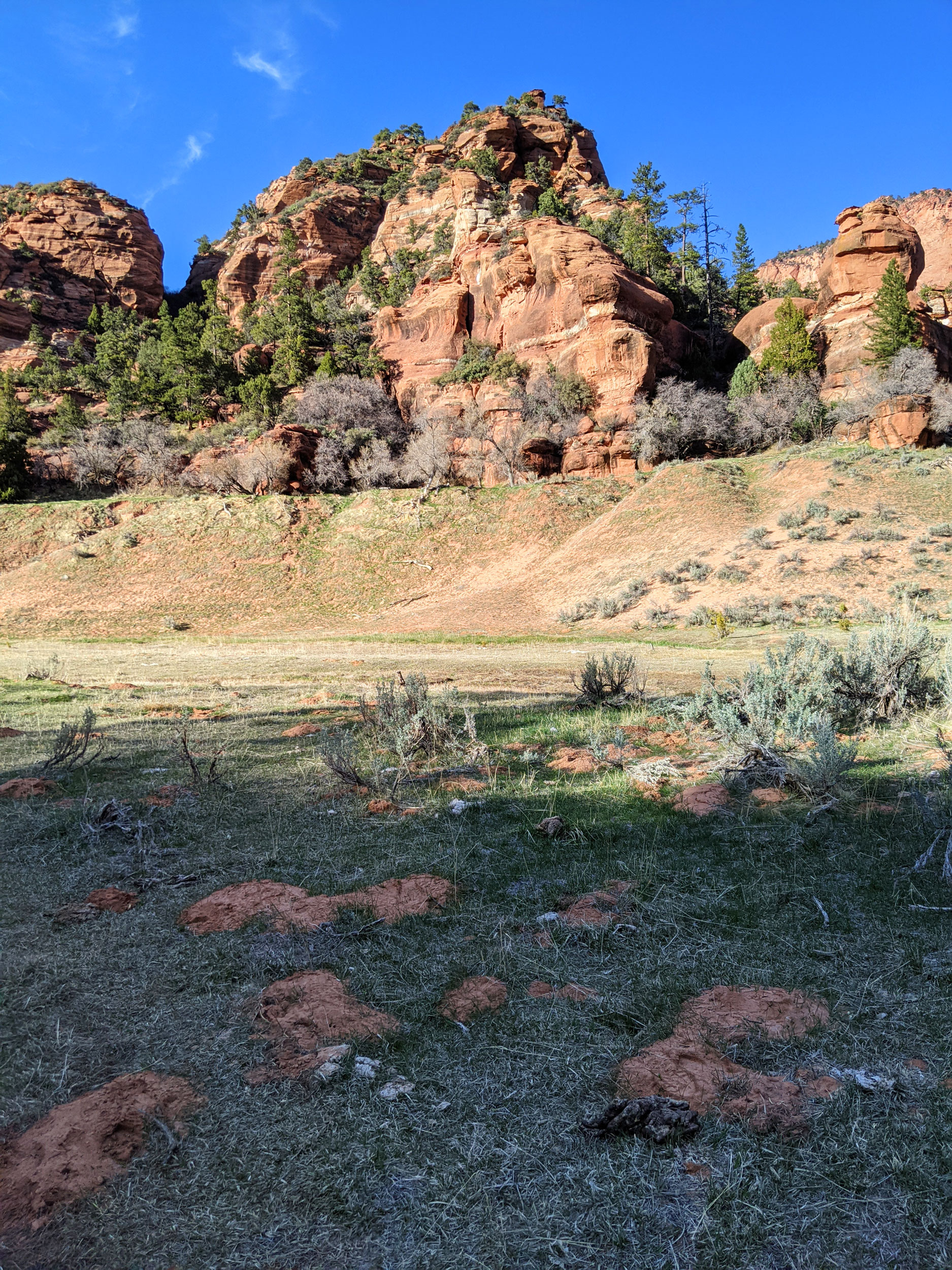
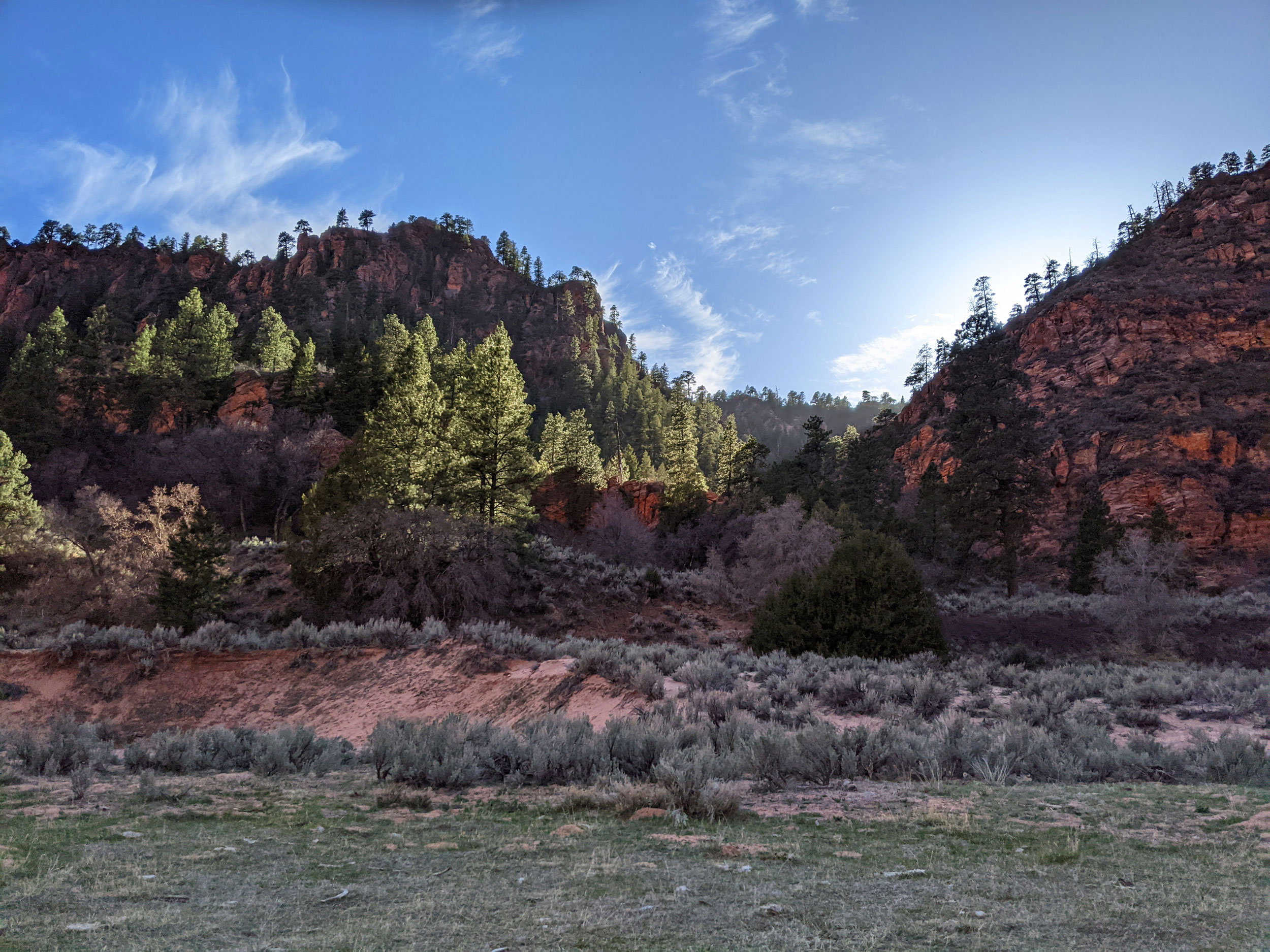
Zion National Park is truly one of the most beautiful places in the world, and I’m lucky enough to live less than an hour away. But I’d never travelled the full length of the park until yesterday. Jayna, Jared and I took photos as we ran and power-hiked from the south entrance (starting at the visitors center) all the way to the Lee Pass Trailhead near the north entrance, in the Kolob Canyons section of the park. Here’s a collection of some of the best photos from our journey. (Click to expand.)


.")


It’s currently impossible to do a full “Zion traverse” because much of the East Rim Trail is closed due to a rockslide back in August 2019. If they ever get those trails cleared, I’d love to do a full east-to-west traverse. For now, the south entrance is the only real option for a jumping-off point.
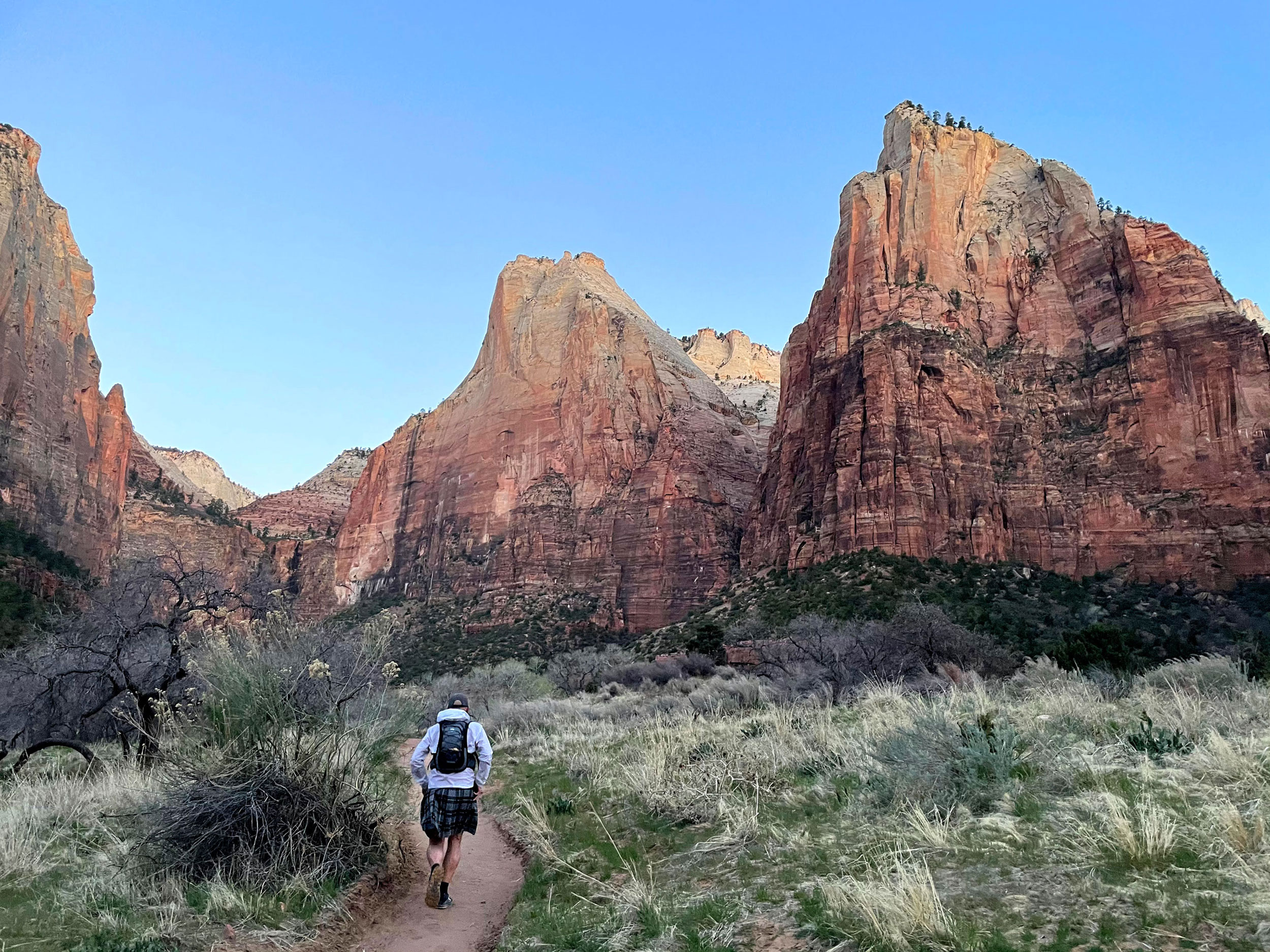
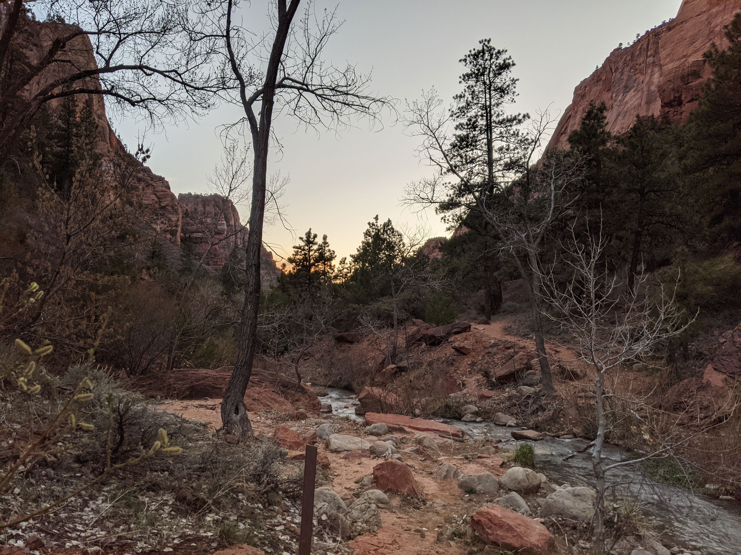
We started out strong, running north from the visitors center on the Pa’rus Trail. When that trail ended, we did a few road miles before catching the Lower Emerald Pools Trail to the Grotto. We knew we had to hurry, because the trail from the Grotto to Angel’s Landing was scheduled to be closed for maintenance that day.
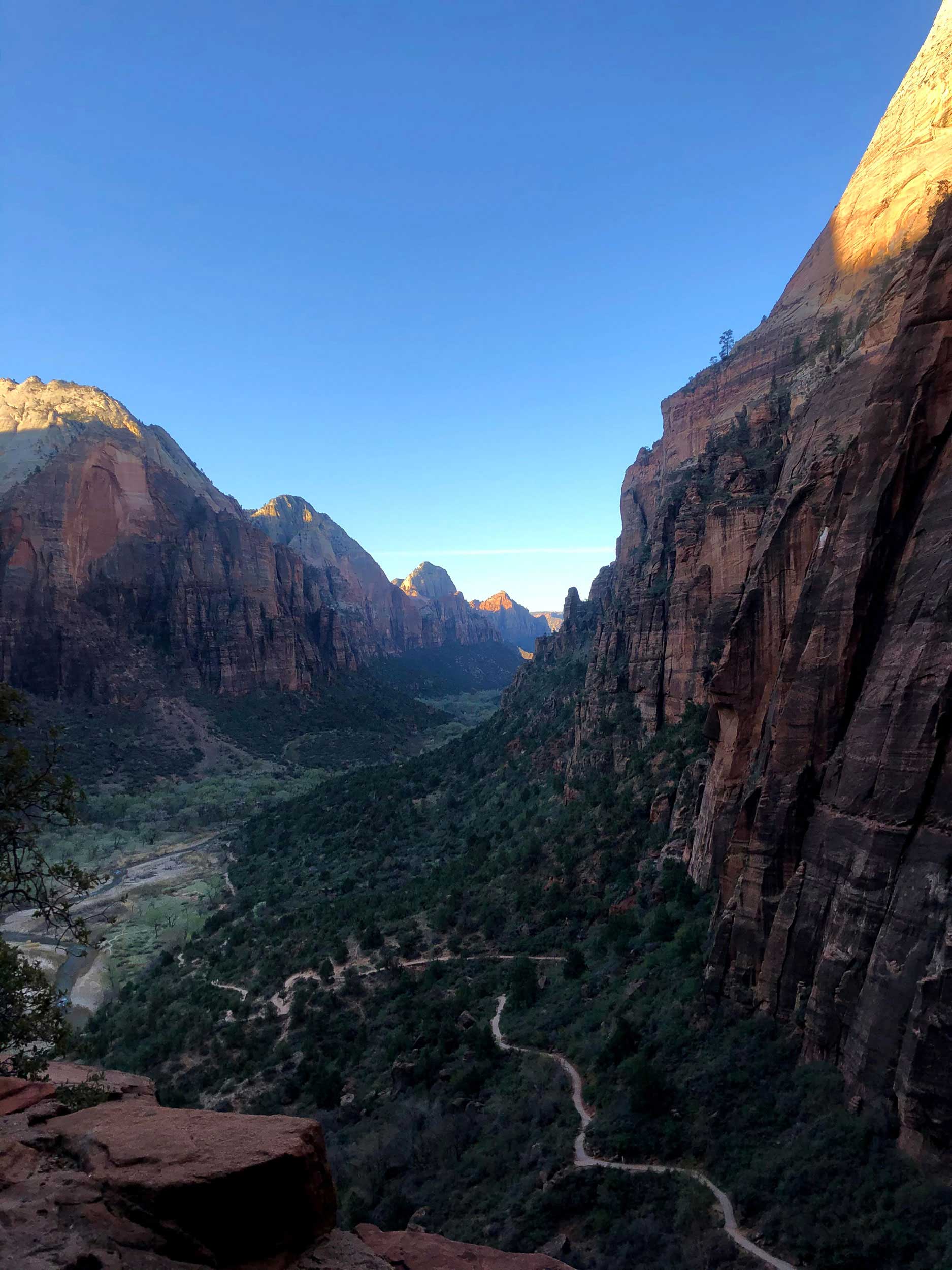
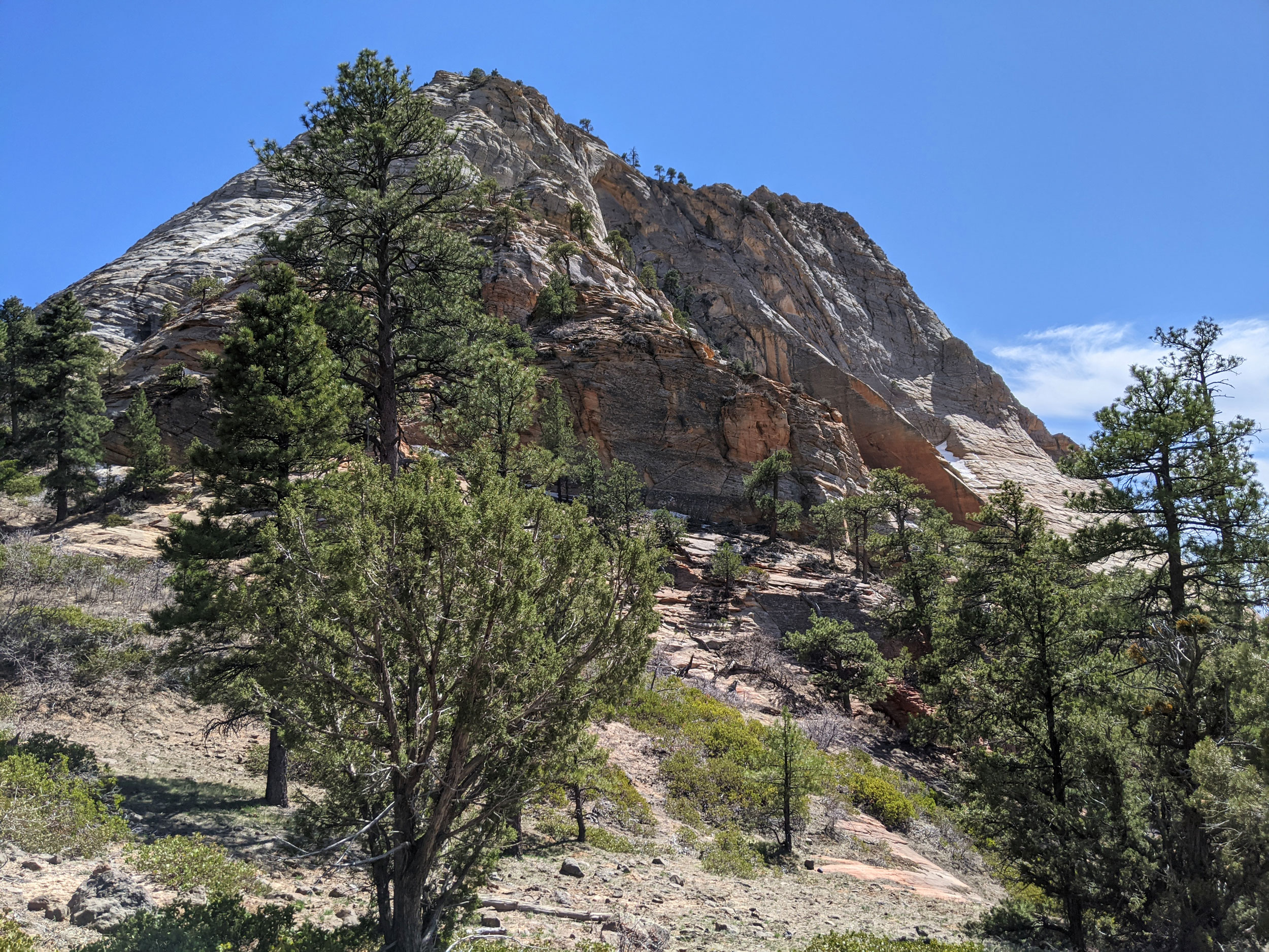
Luckily, we beat the crew there. Not so luckily, we probably pushed those initial miles a bit too hard. We power-hiked the switchbacks up from the Grotto, and when we arrived at Scout Lookout our calves were burning. After a quick photo break, we headed north on the West Rim Trail. This section consists mostly of long, steep climbs, interspersed by short runnable stretches. By the time we stopped at the lookout near Cabin Springs for a breather, the weather was nice and warm.
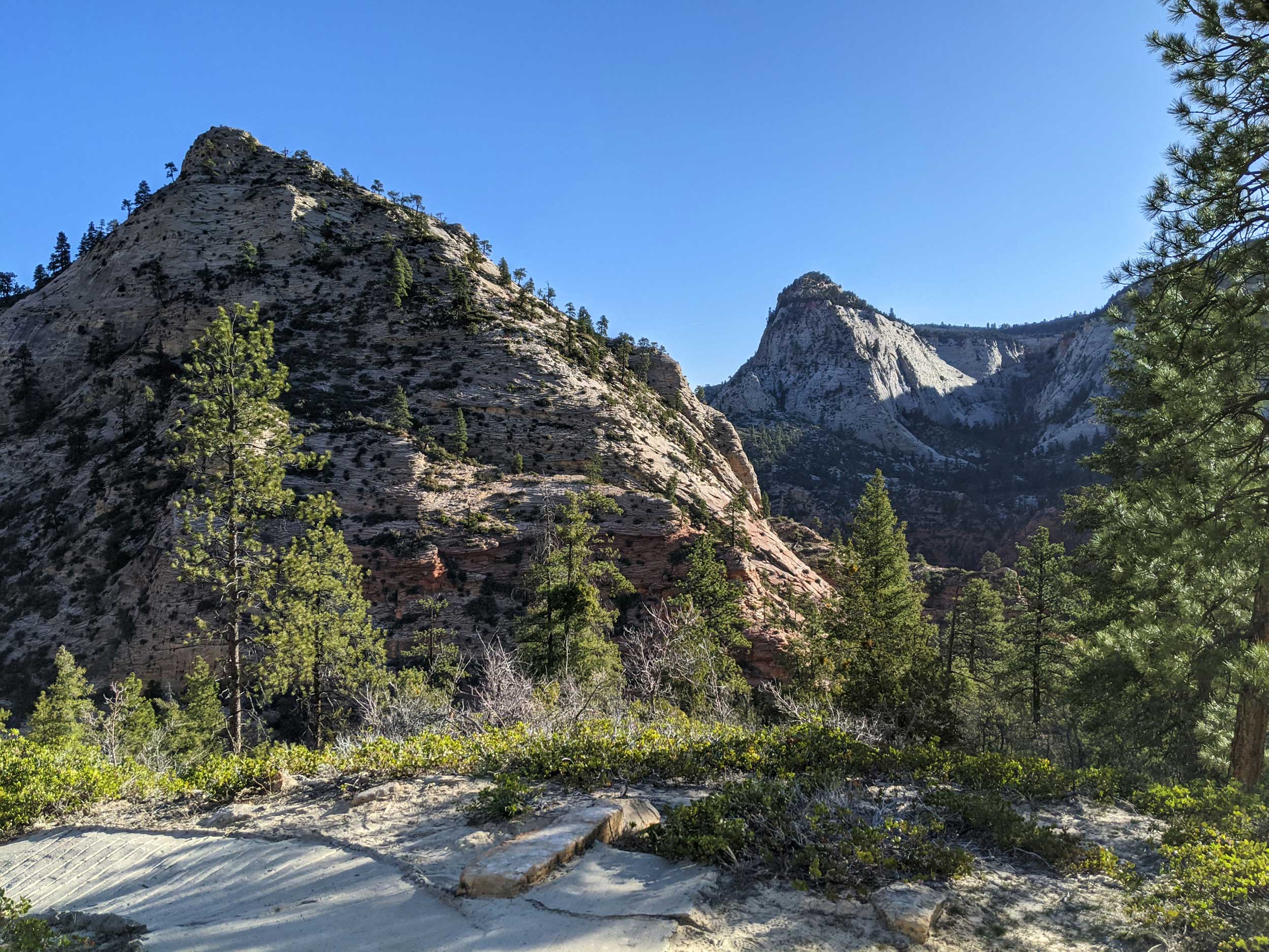
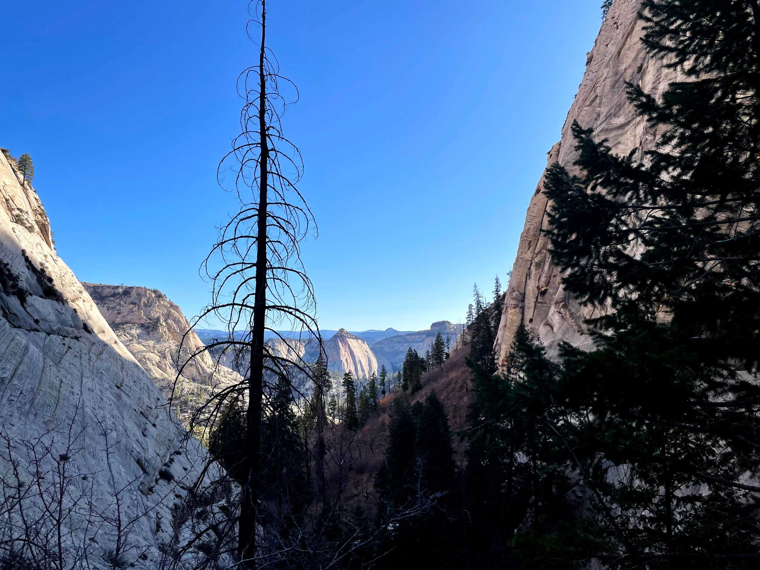
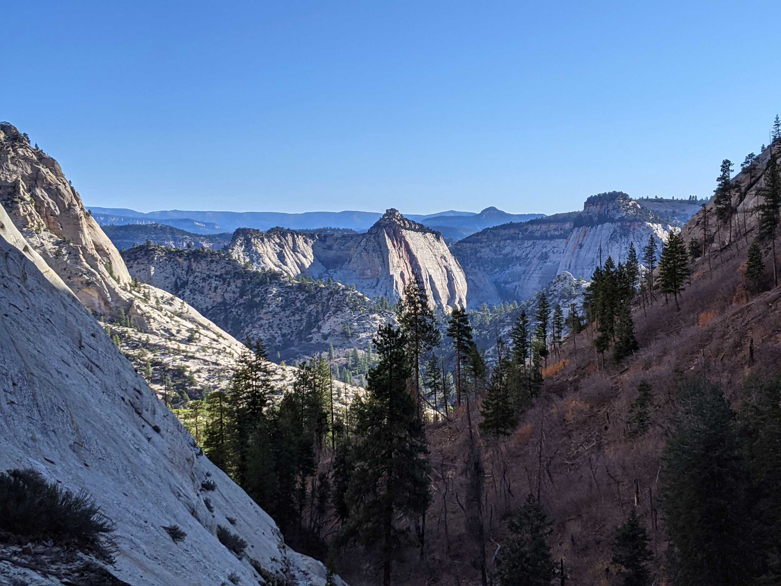
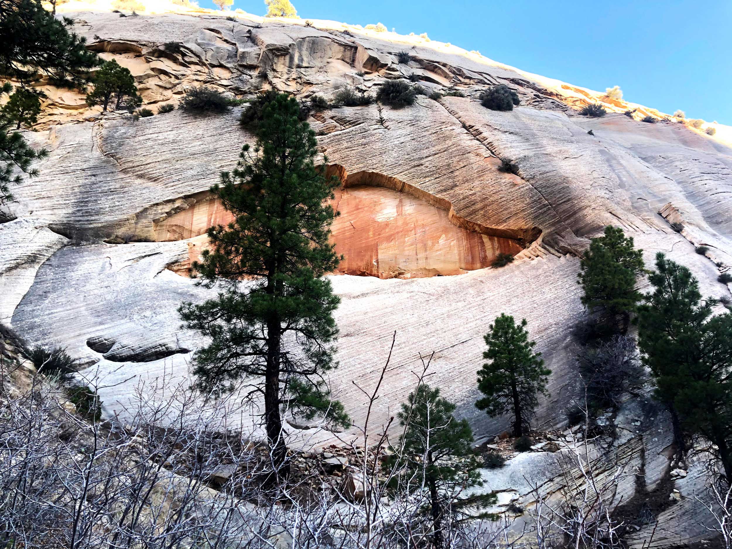
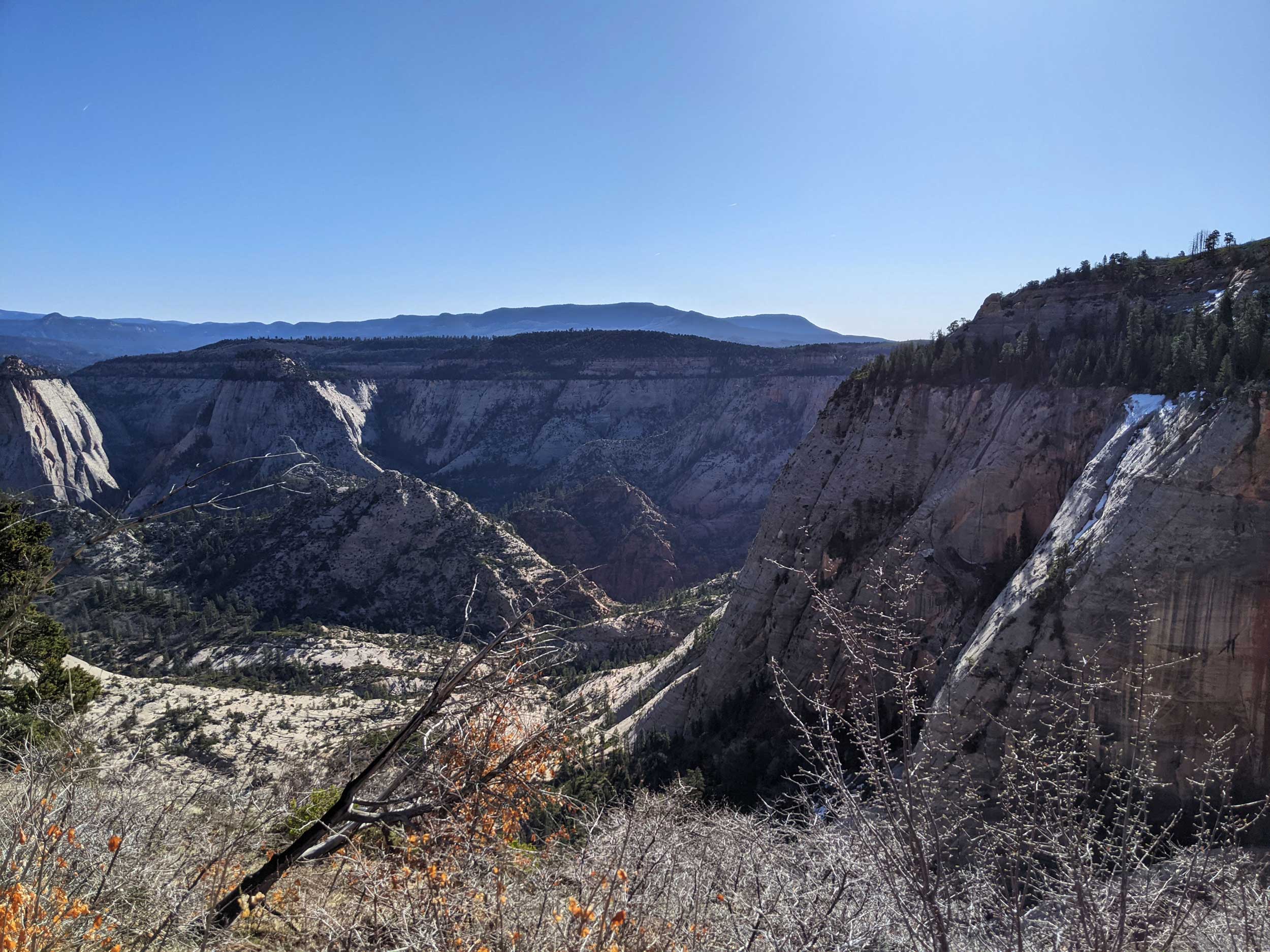
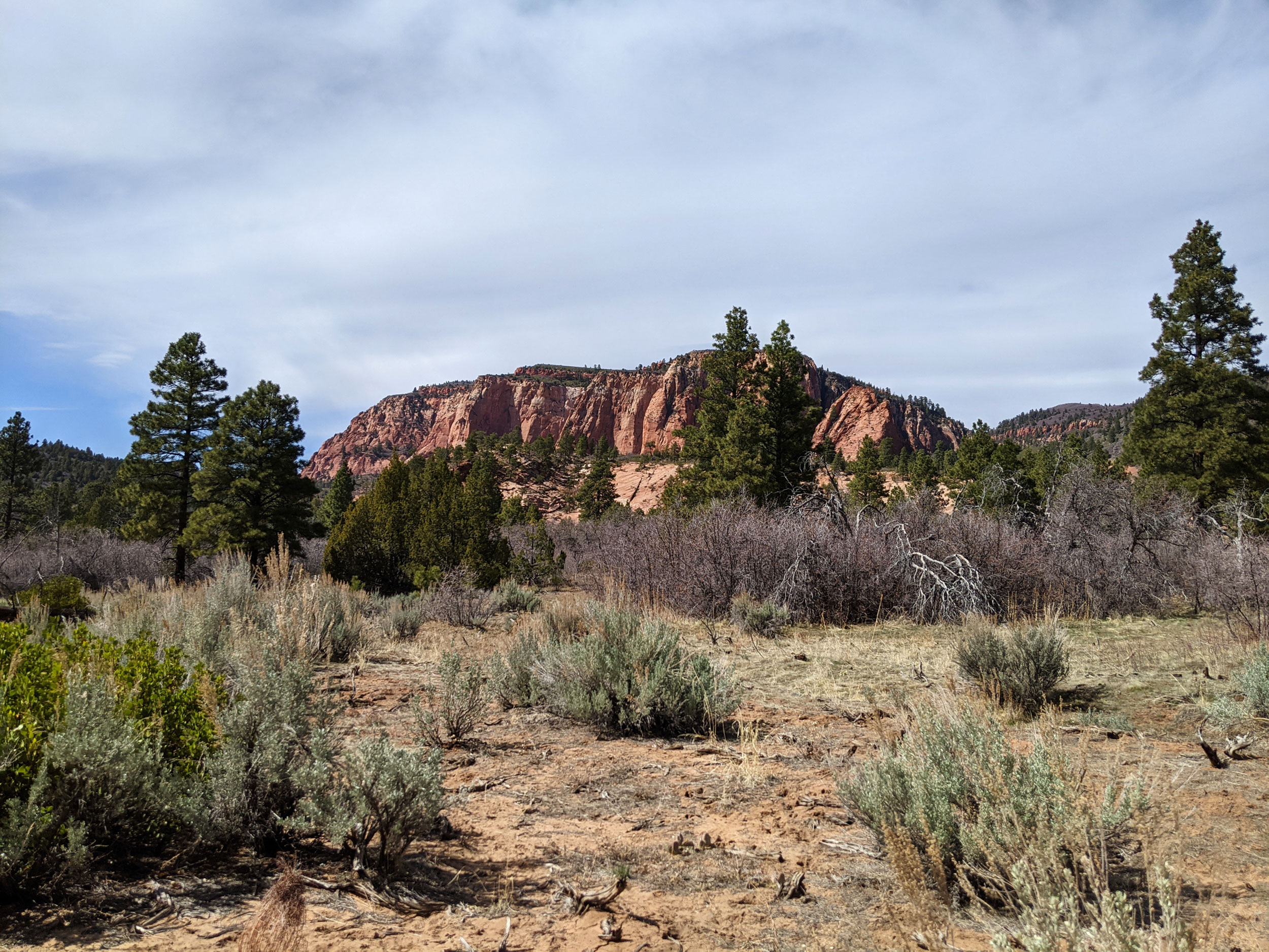
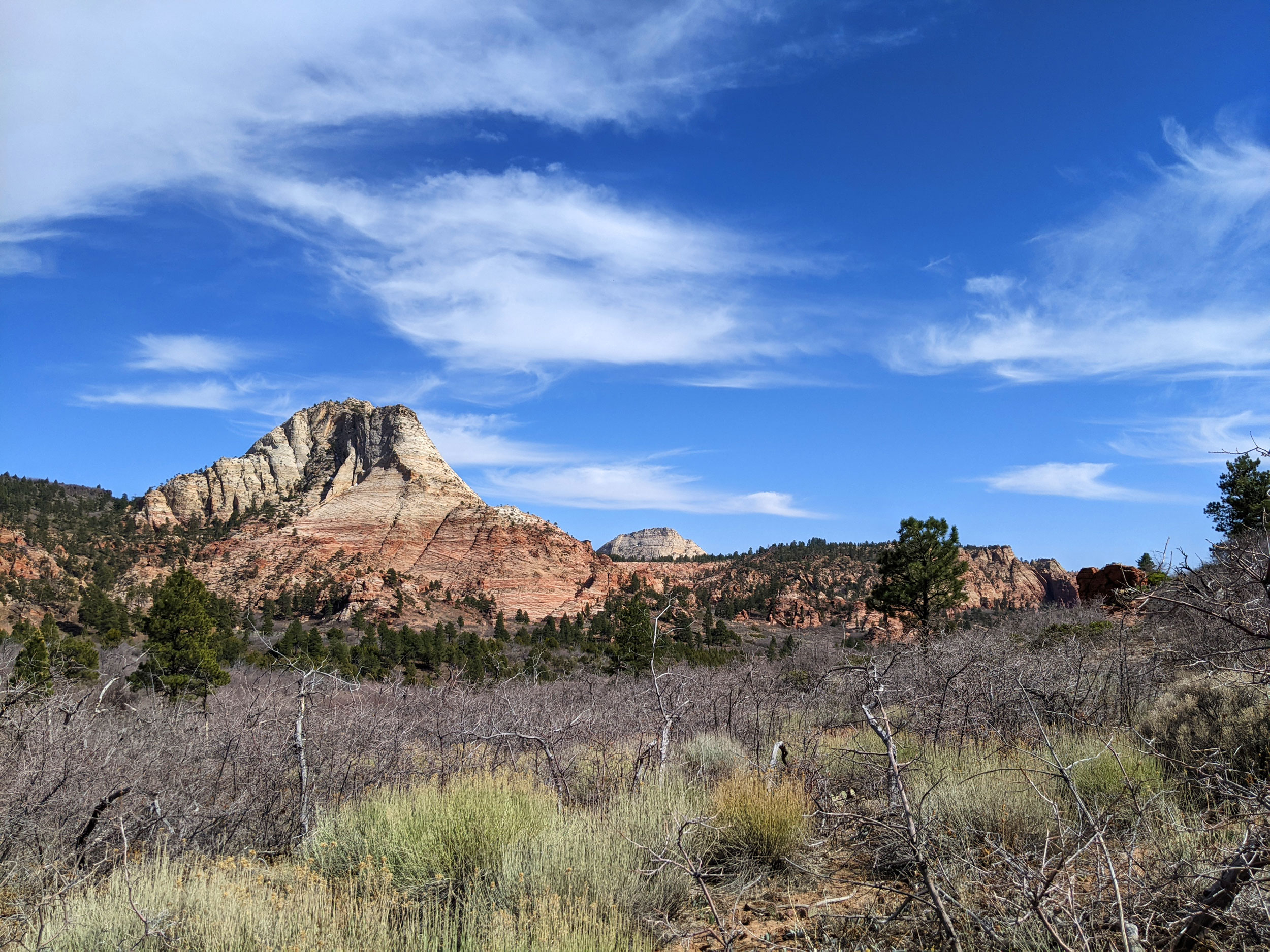
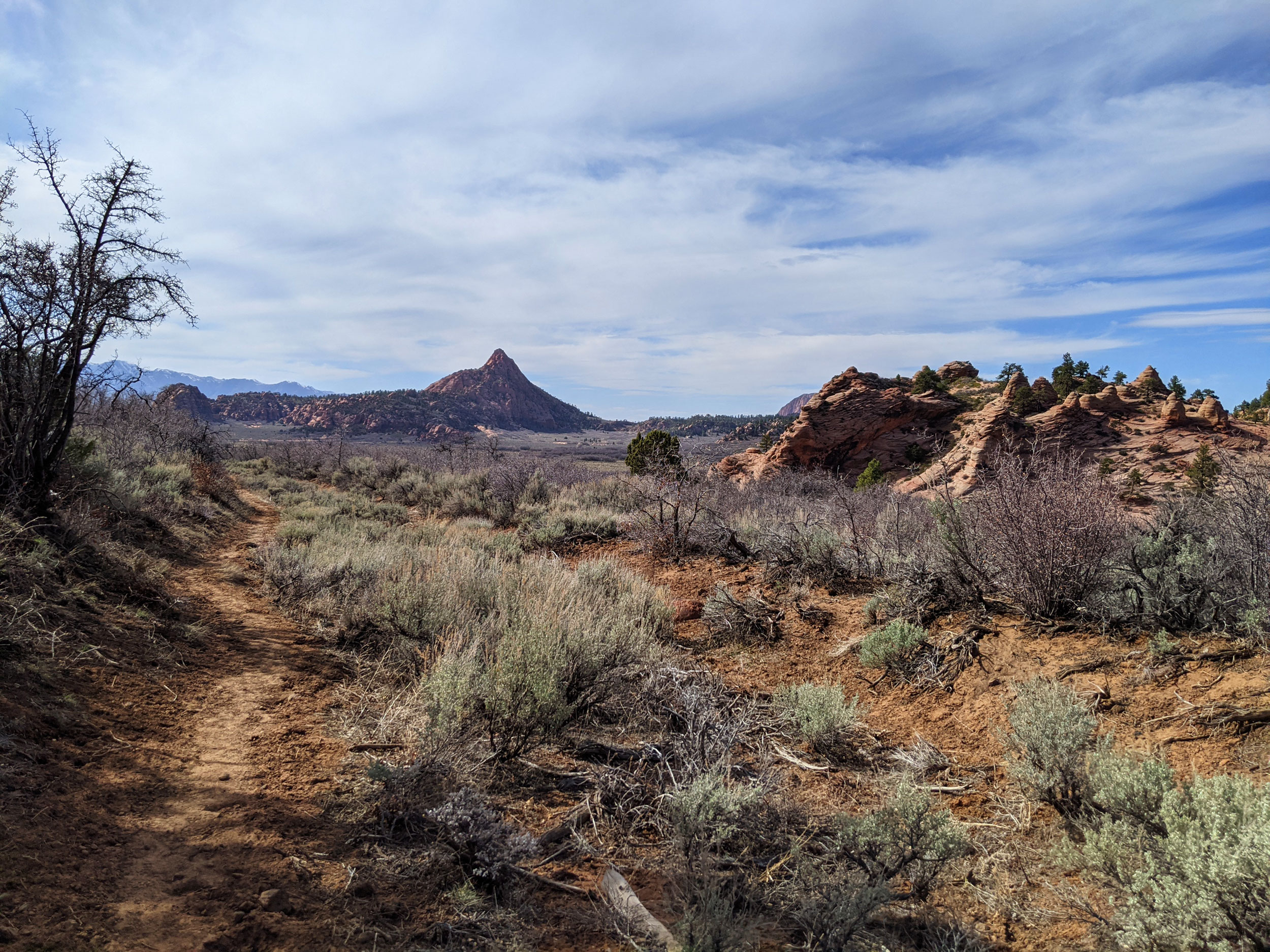
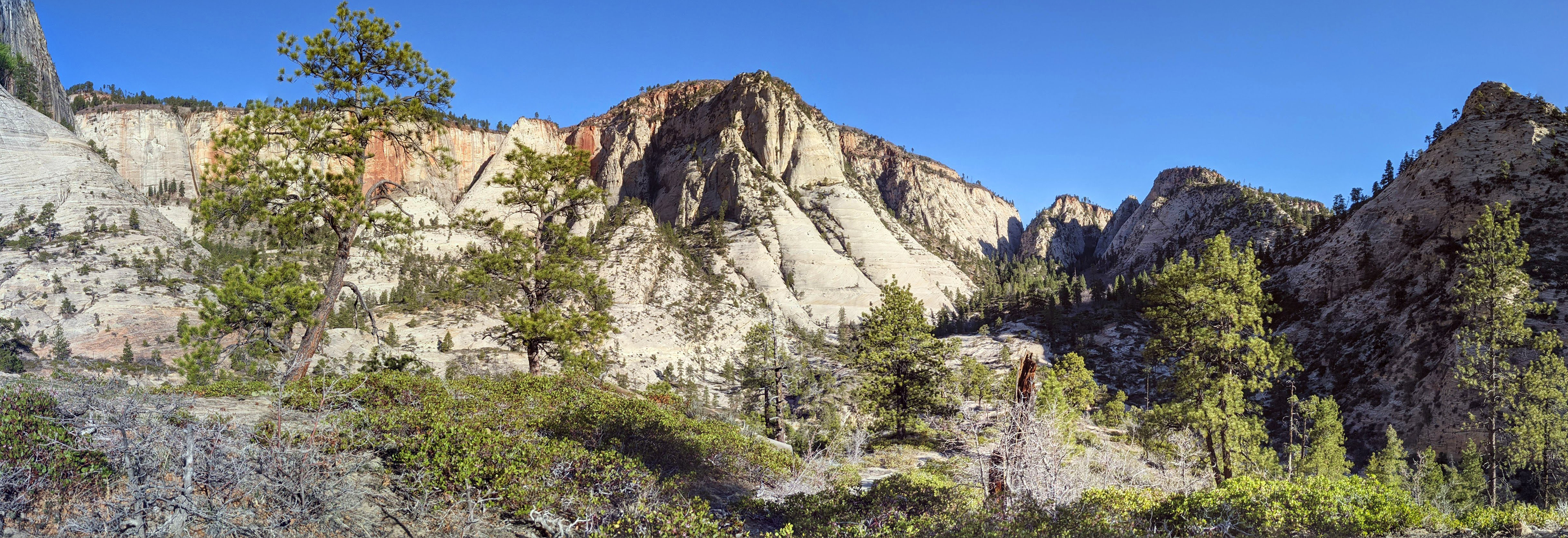
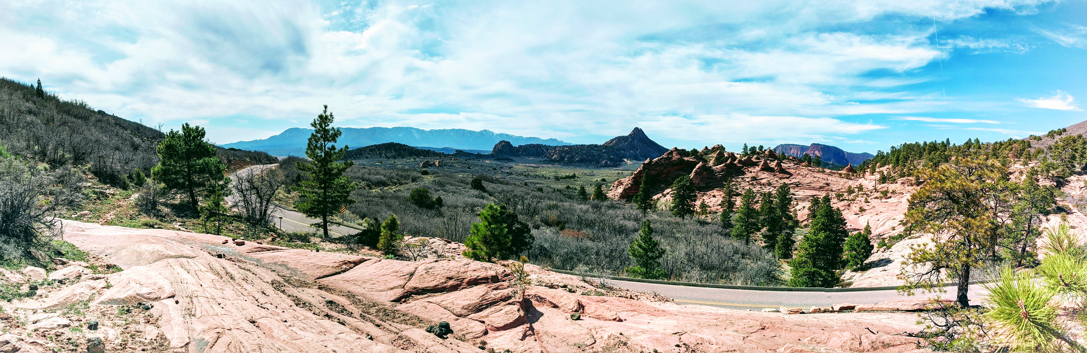
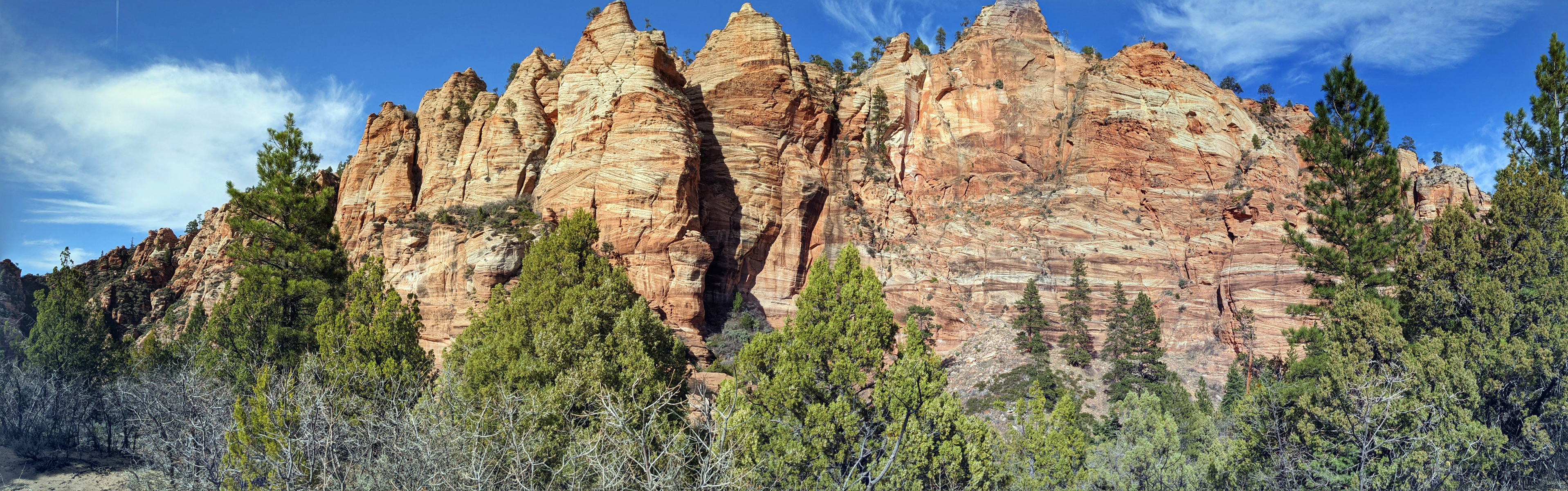
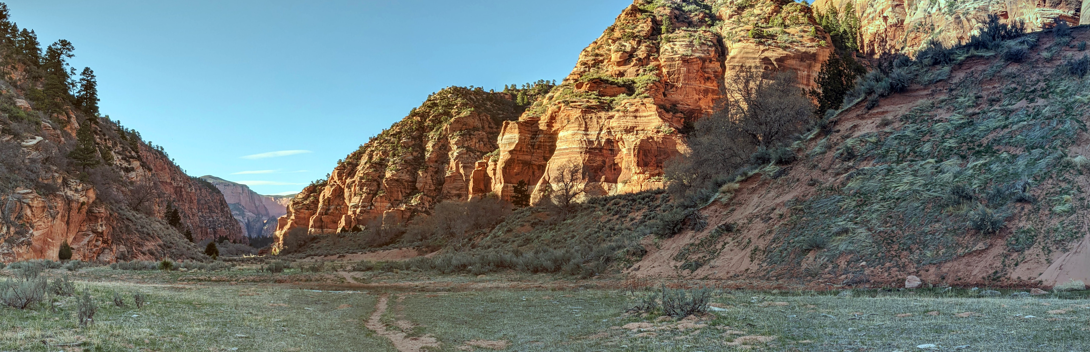
Now we were on the ridge, and the ups and downs were more gradual. Taking the left-hand fork, we ran the long stretch through Potato Hollow to the junction. Some of the views along this section of trail literally take your breath away, and we stopped a bunch of times for photos. Then, turning left, we headed through Wildcat Canyon, stopping at one of the springs to filter water. Next, we took the Connector Trail to the Hob Valley Trailhead, where we used the facilities and had another rest.

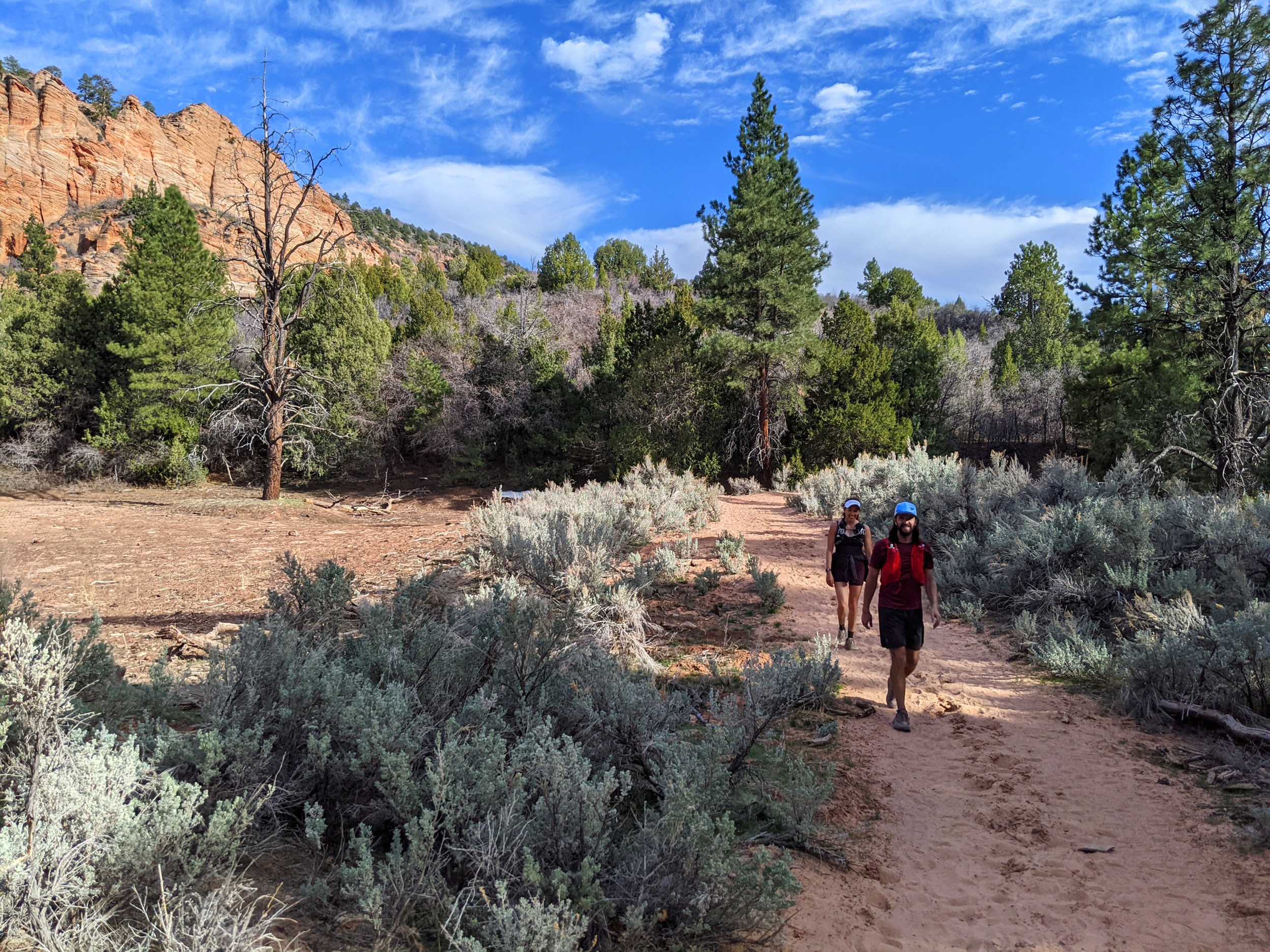
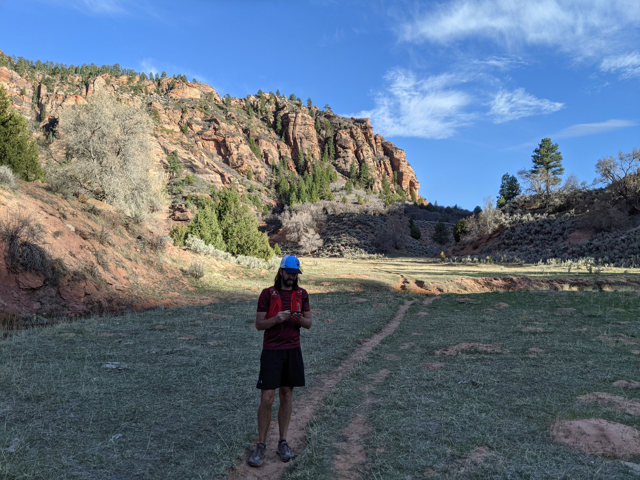
At this point, both of my running companions were suffering. Jared was having stomach trouble, and Jayna was experiencing general fatigue. We still had 15 miles to go, but running the rest of the trail seemed out of the question. We actually thought about bailing, but instead we made the decision to power-hike the rest of the way. I briefly considered running ahead and finishing on my own, but decided it would be more fun to stay with the group.
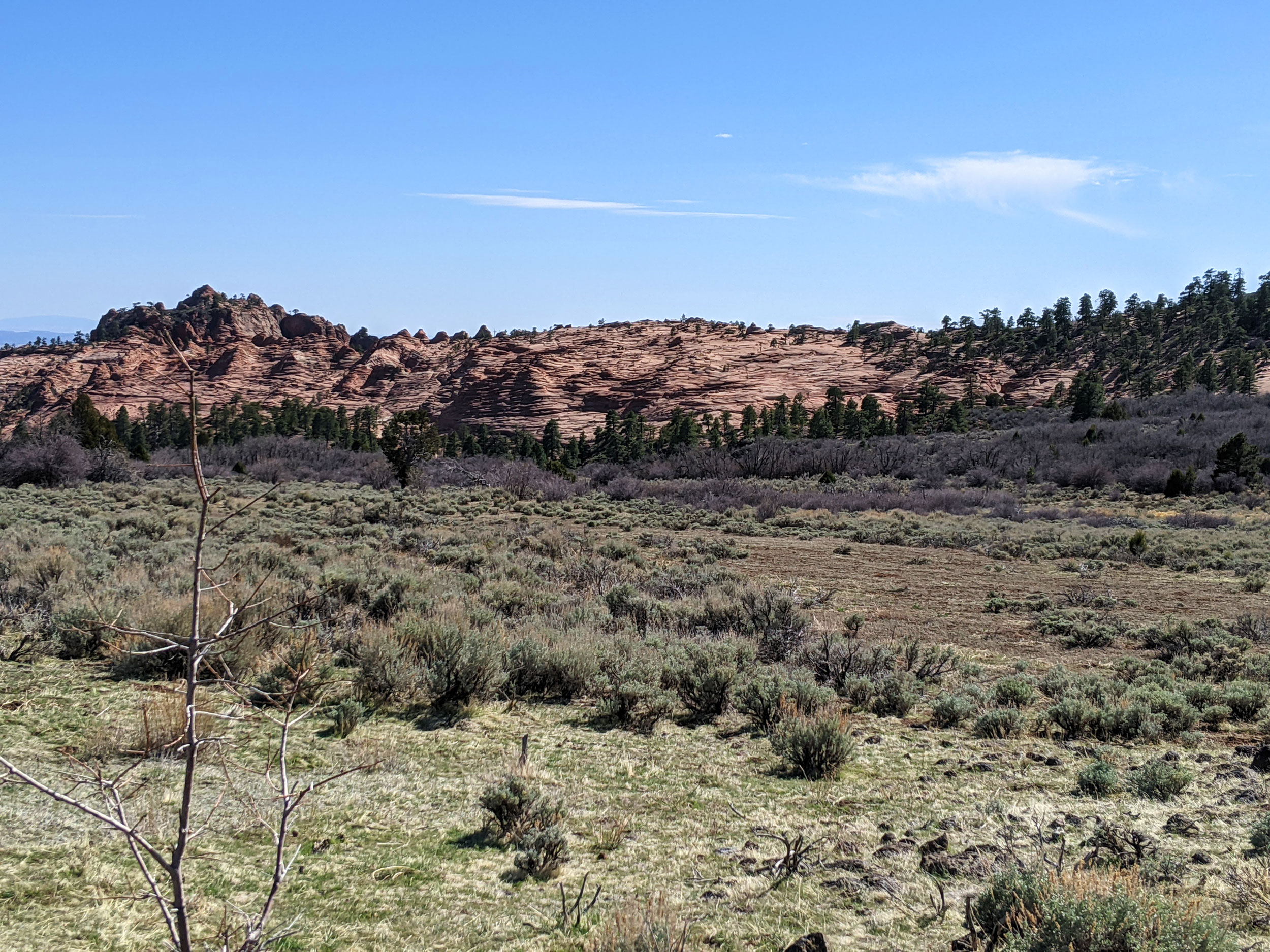
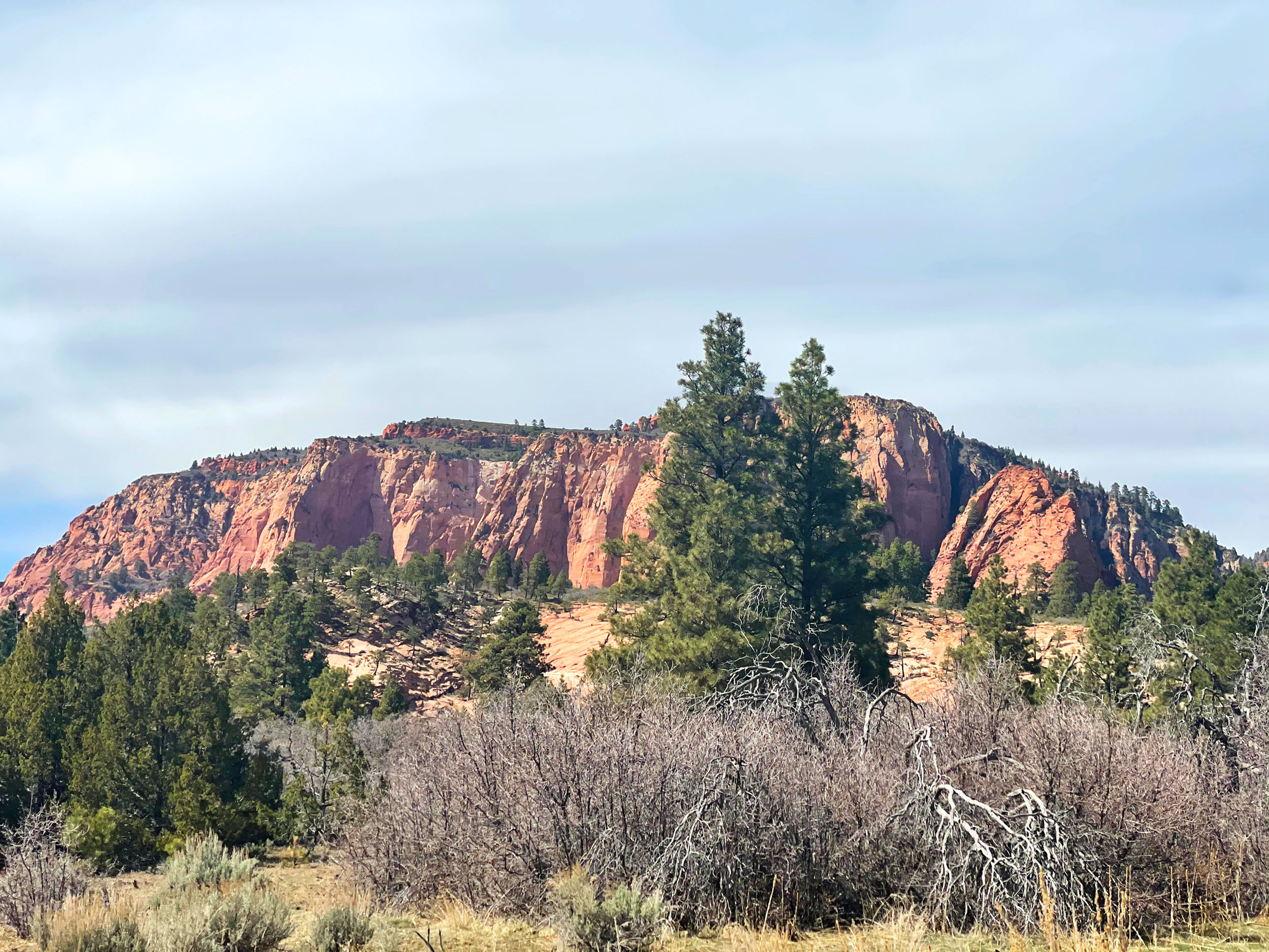
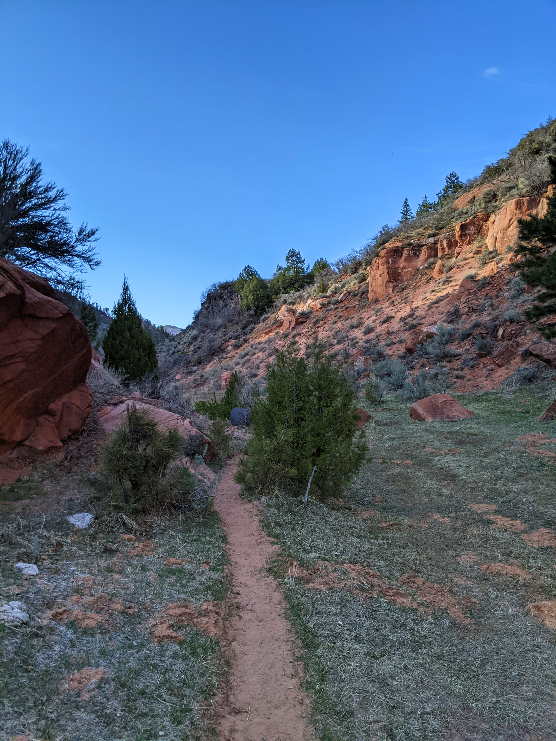
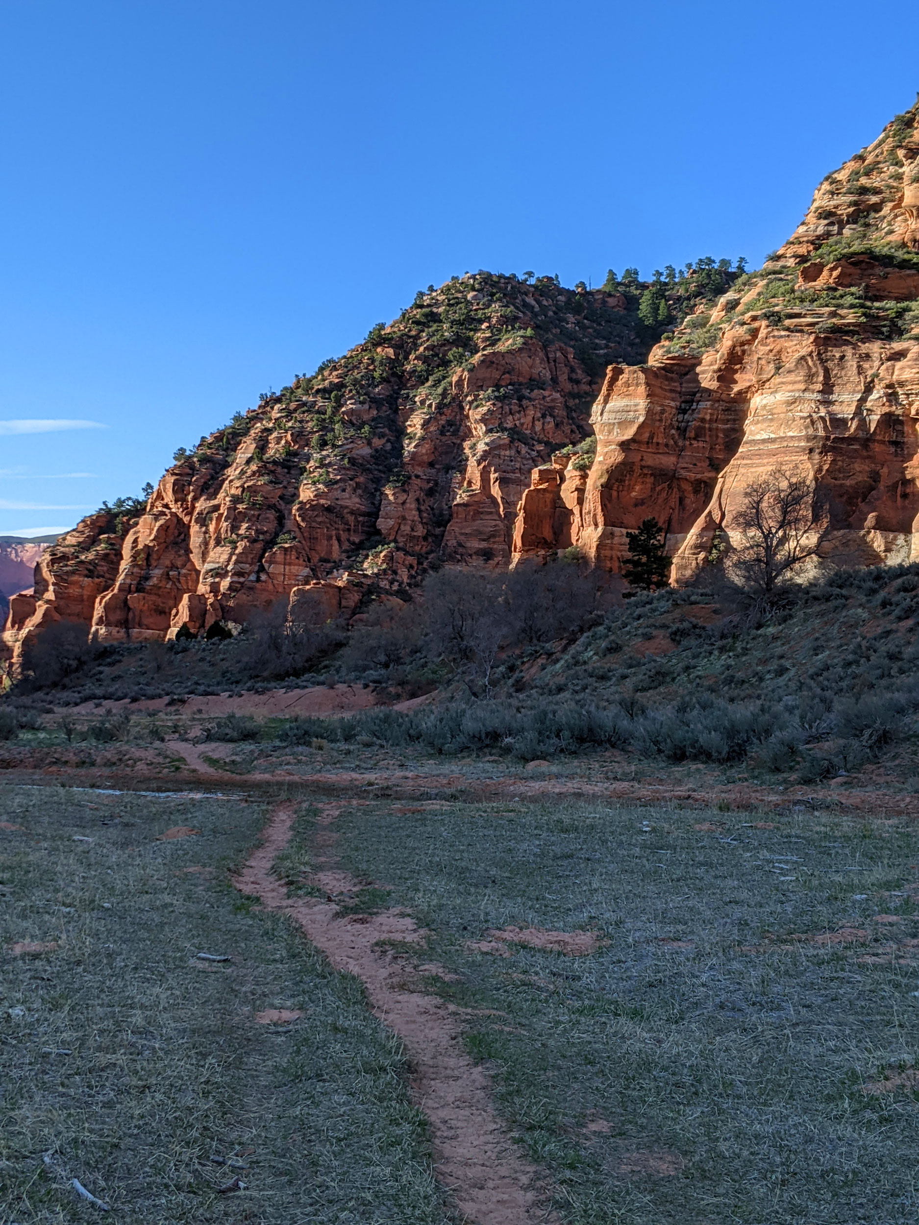
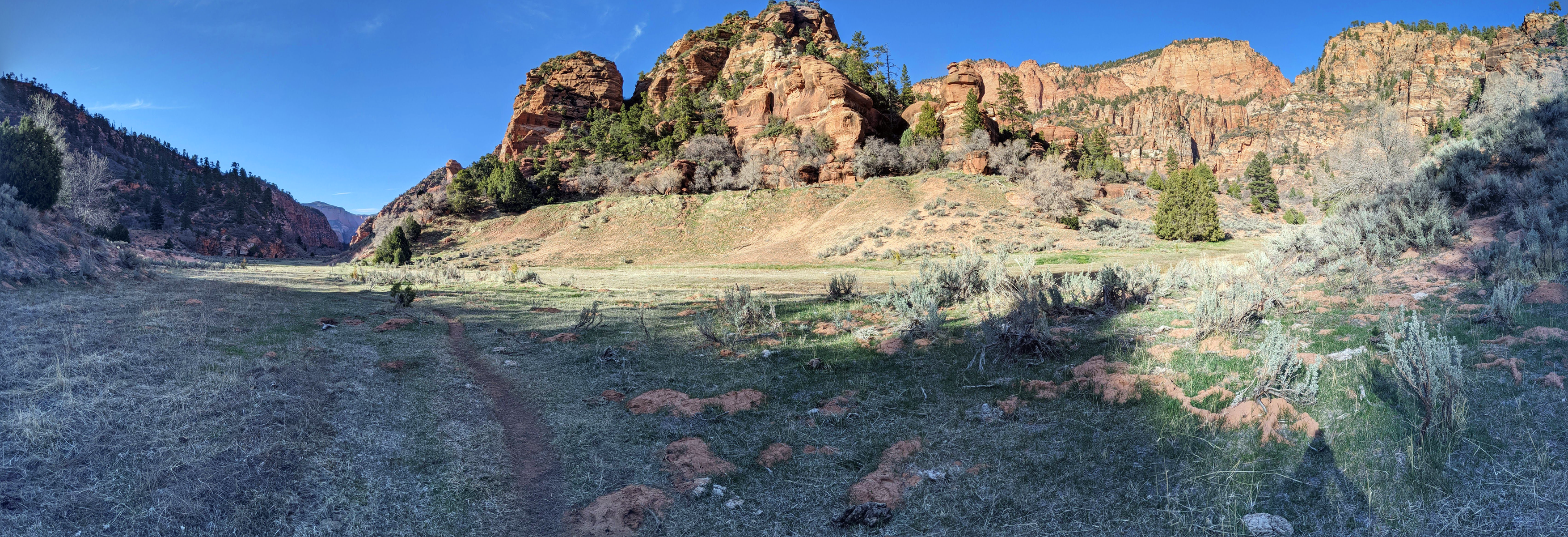
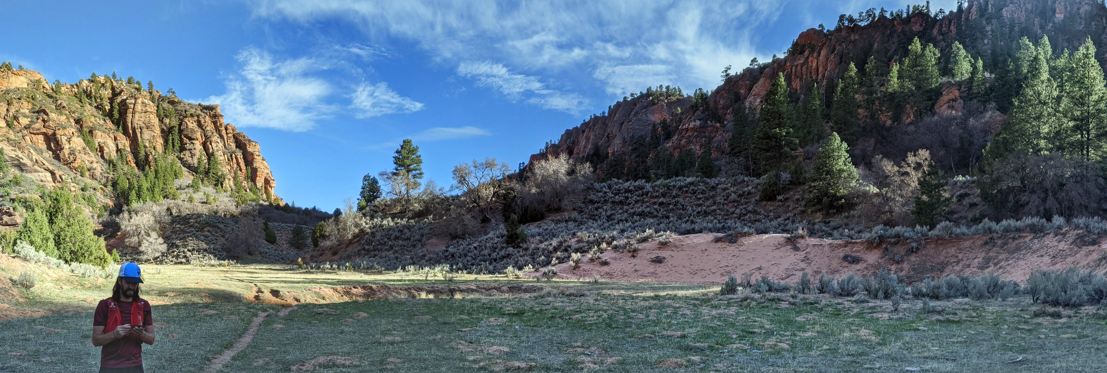
More slowly now, we hiked through Hop Valley toward the Kolob Canyon Arch. The narrow creek meanders through a wide, cliff-lined valley, forcing us to cross it again and again. Both of my running companions were struggling, but they gamely soldiered on. Besides the amazing scenery, I was mostly focused on forward momentum. When we reached Beatty Spring, near the entrance to the Kolob Canyon Arch side-trail, we still had plenty of water. Instead of stopping, we continued pushing ahead to make the most of what little daylight we still had.
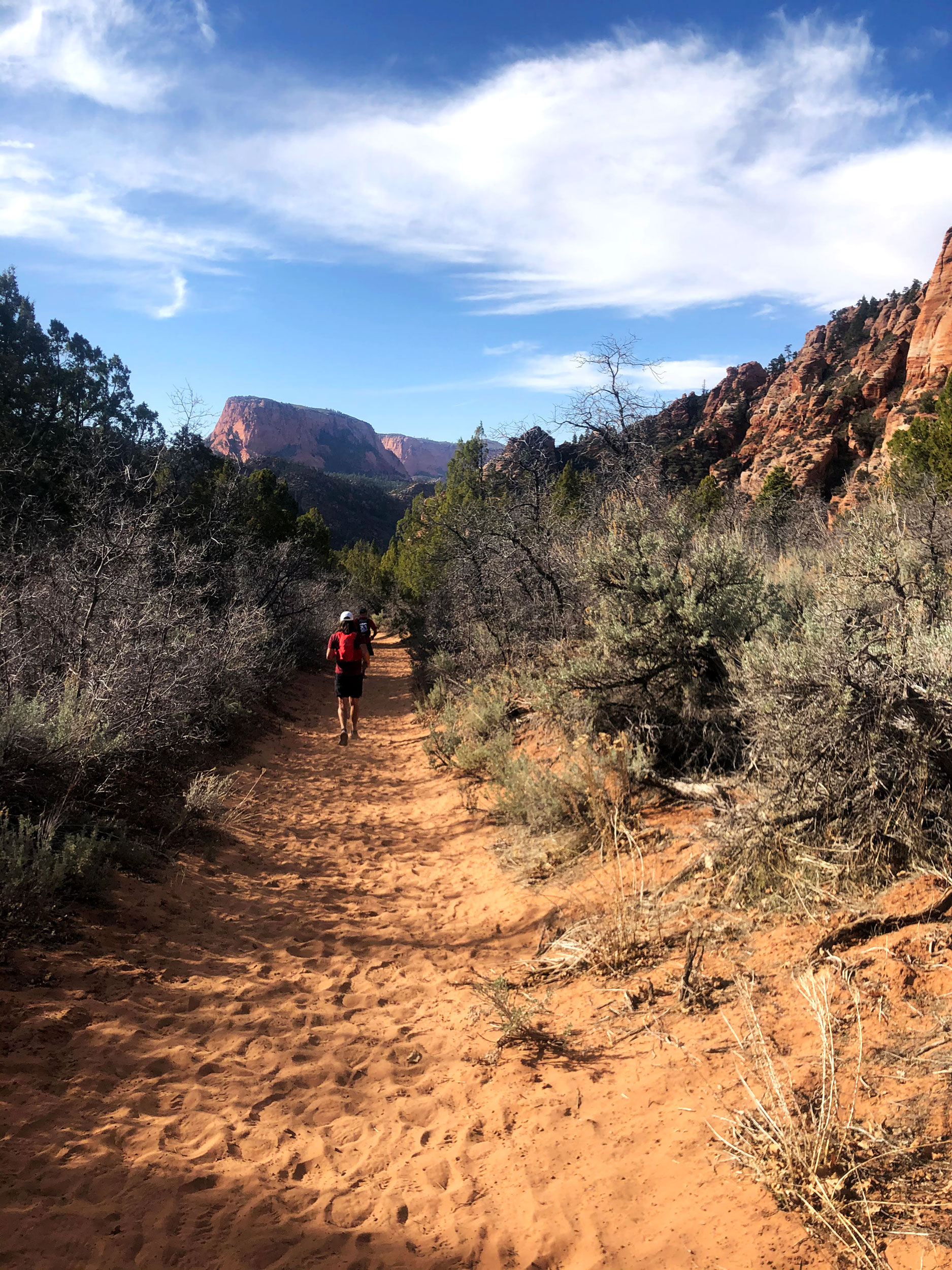
The last section of trail is the La Verkin Creek Trail, which runs about 6.5 miles from Kolob Arch to the Lee Pass Trailhead. I’ve run it before, though only in the daylight. When we finally lost the rest of nautical dusk, we busted out our headlamps and forged ahead as quickly as we could. I found myself telling stories and making jokes, trying to help keep my companions engaged and moving forward.
That last climb, up slopes and steps to the parking lot, seemed to take forever. It just kept going up, up, up.

We arrived at the car at about 11:15 p.m., aching and dusty, feeling exhilarated. In one day, we’d covered 44 miles with about 8,500 feet of vertical gain. My GPS watch (which I recharged multiple times during the trip) said I took 102,695 steps that day.

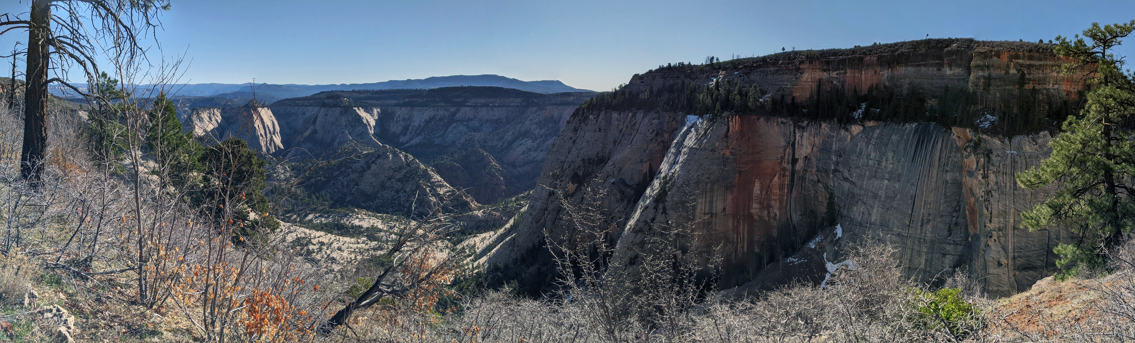
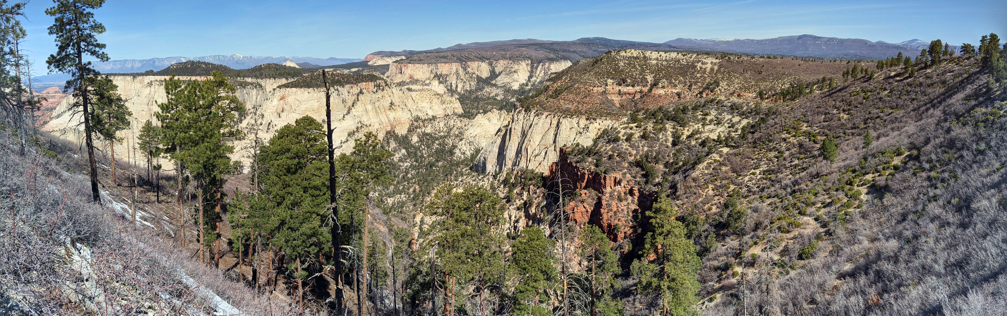
Here are some panoramas that Google stitched together for me from photos I took along the way:

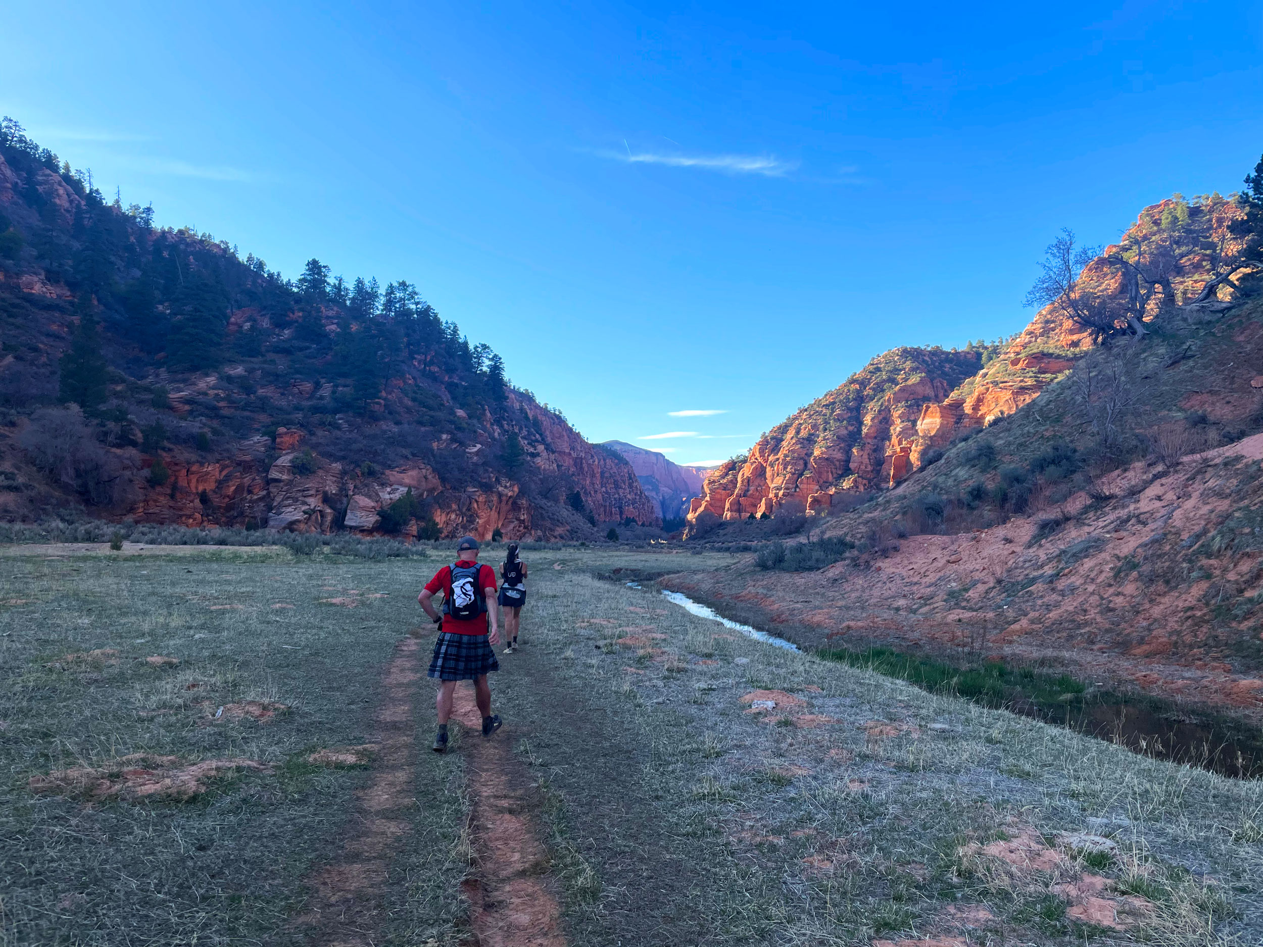
Oh, and I wore my “Jolly Roger” kilt from SportsKilt. Because of course I did.