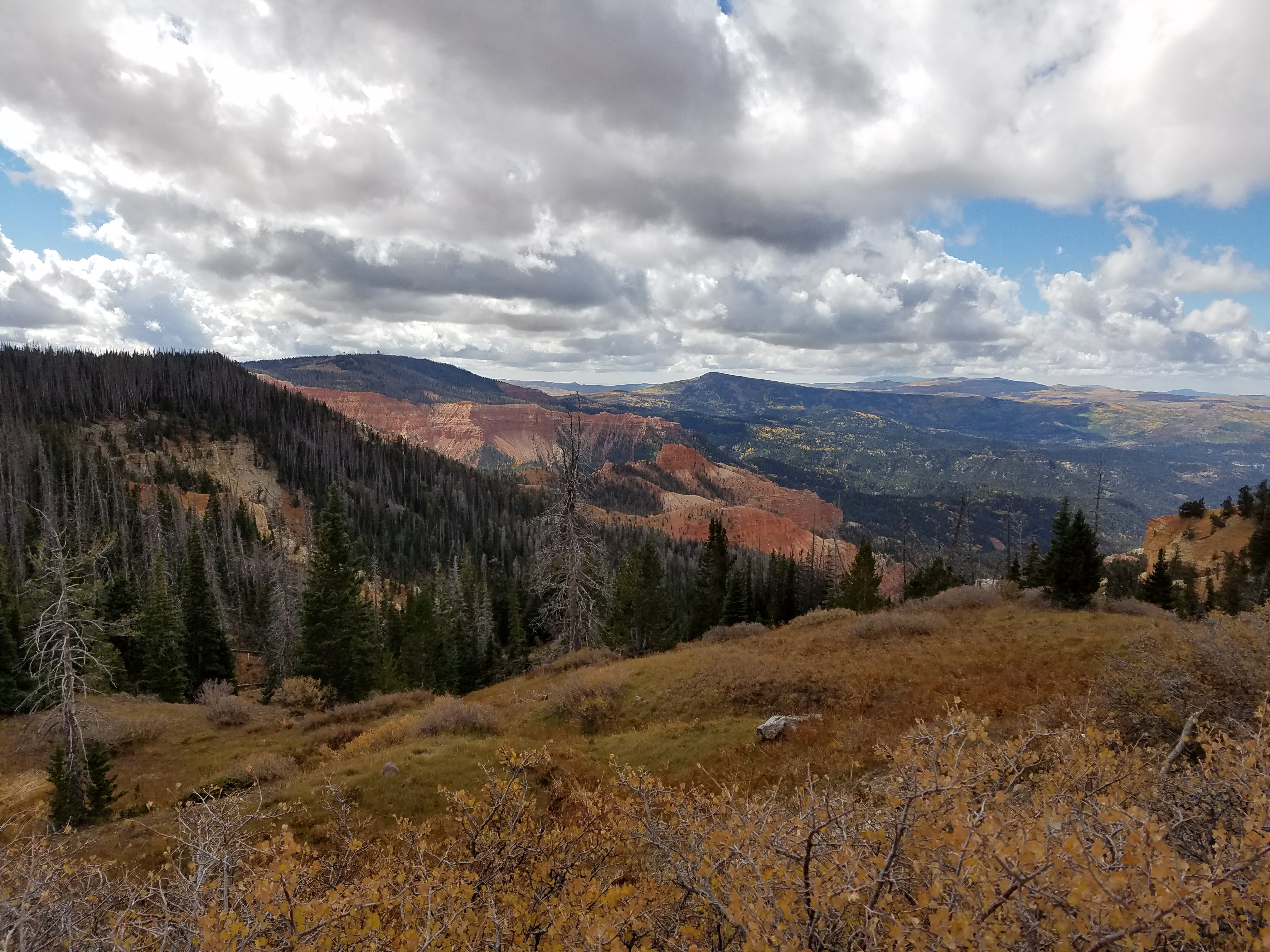
You know how you can live somewhere for a long time and never really know the names of things? My daughter and I took a drive up into the mountains above Cedar City to look at the fall colors. What mountains? Well … those mountains. The mountains above Cedar. As I looked at the photos, I realized I didn’t actually know what the mountains were called. A little Googling turned up the answer: these mountains are part of the Markagunt Plateau.
Oh … kay. Not very lyrical, huh?
Here’s how Wikipedia describes the place: “The Markagunt Plateau lies in southern Utah in the counties Iron County, Garfield County and Kane County. Cedar City lies west and Kanab south of the volcanic field, which is crossed by Utah State Route 14, Utah State Route 143 and Utah State Route 148. Towns in the area include Duck Creek Village and Mammoth Creek.”
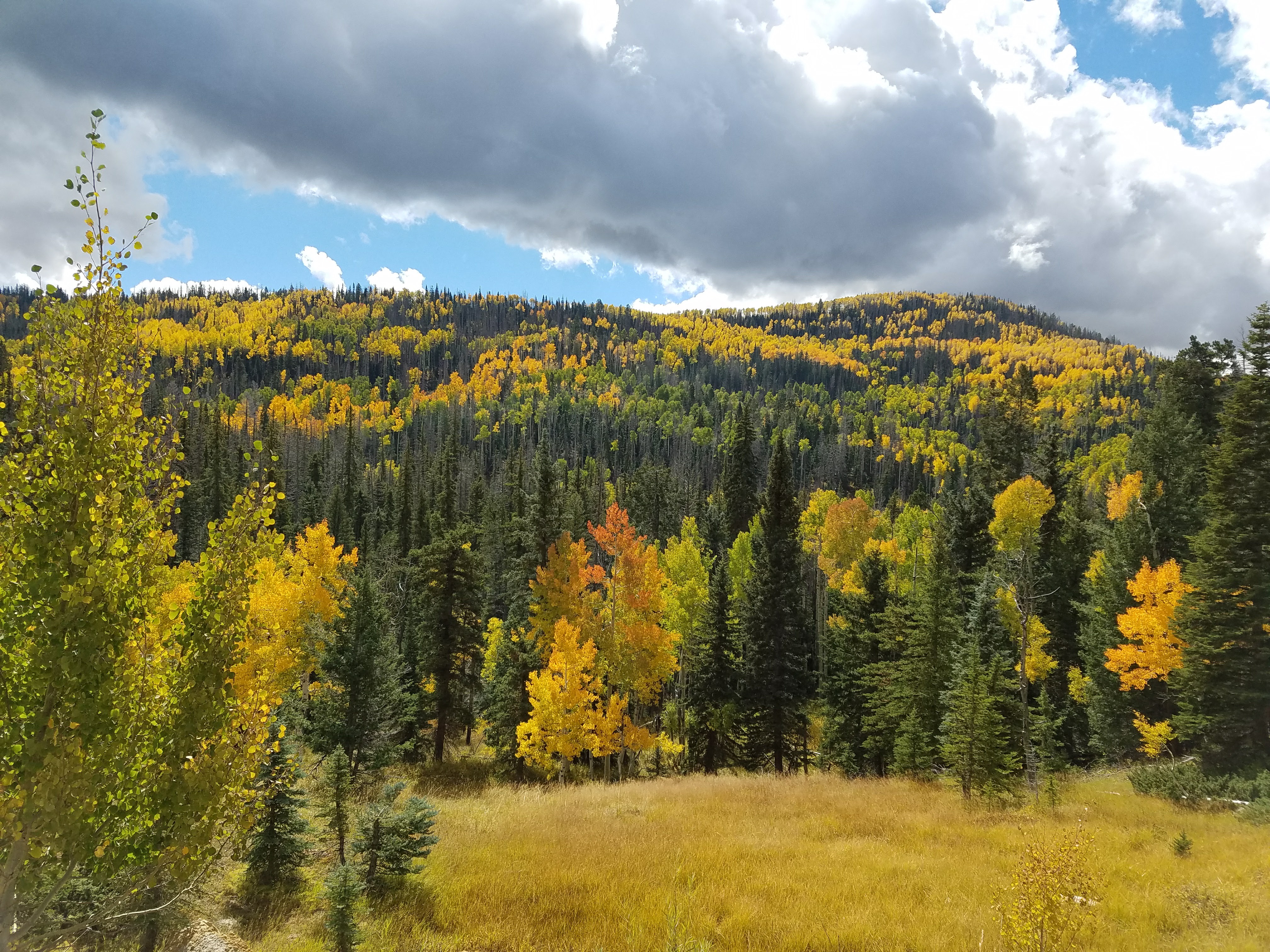
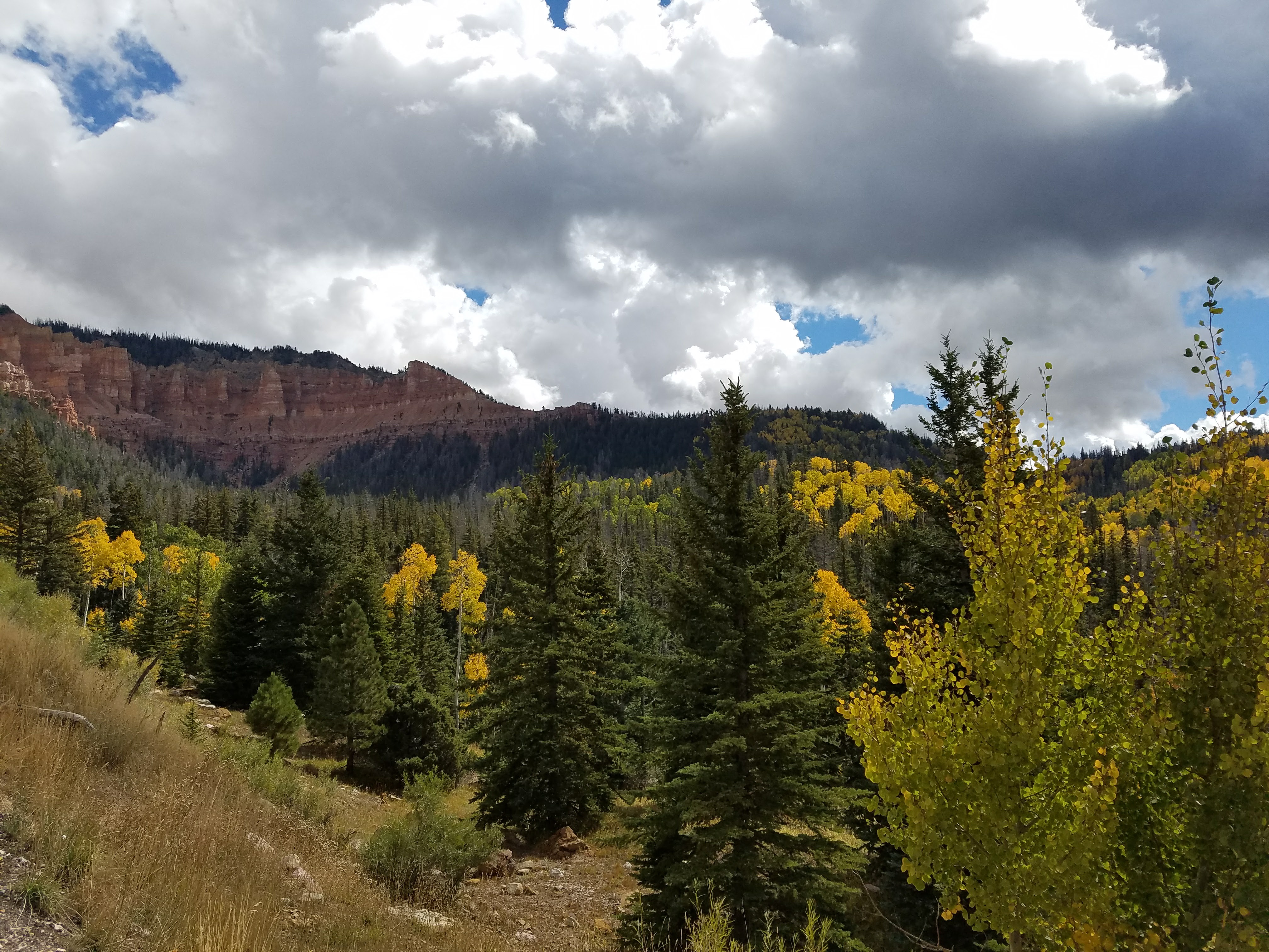
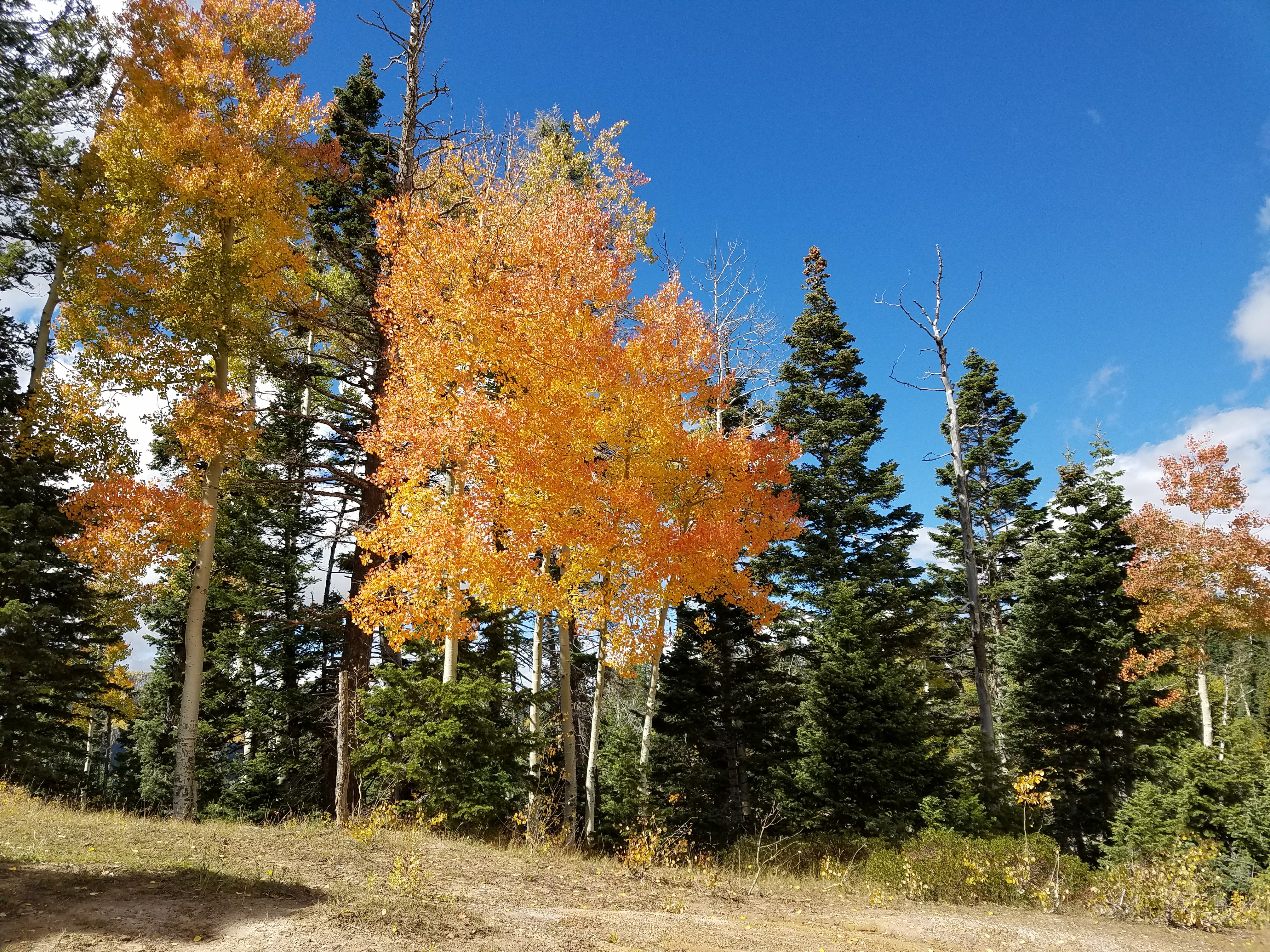
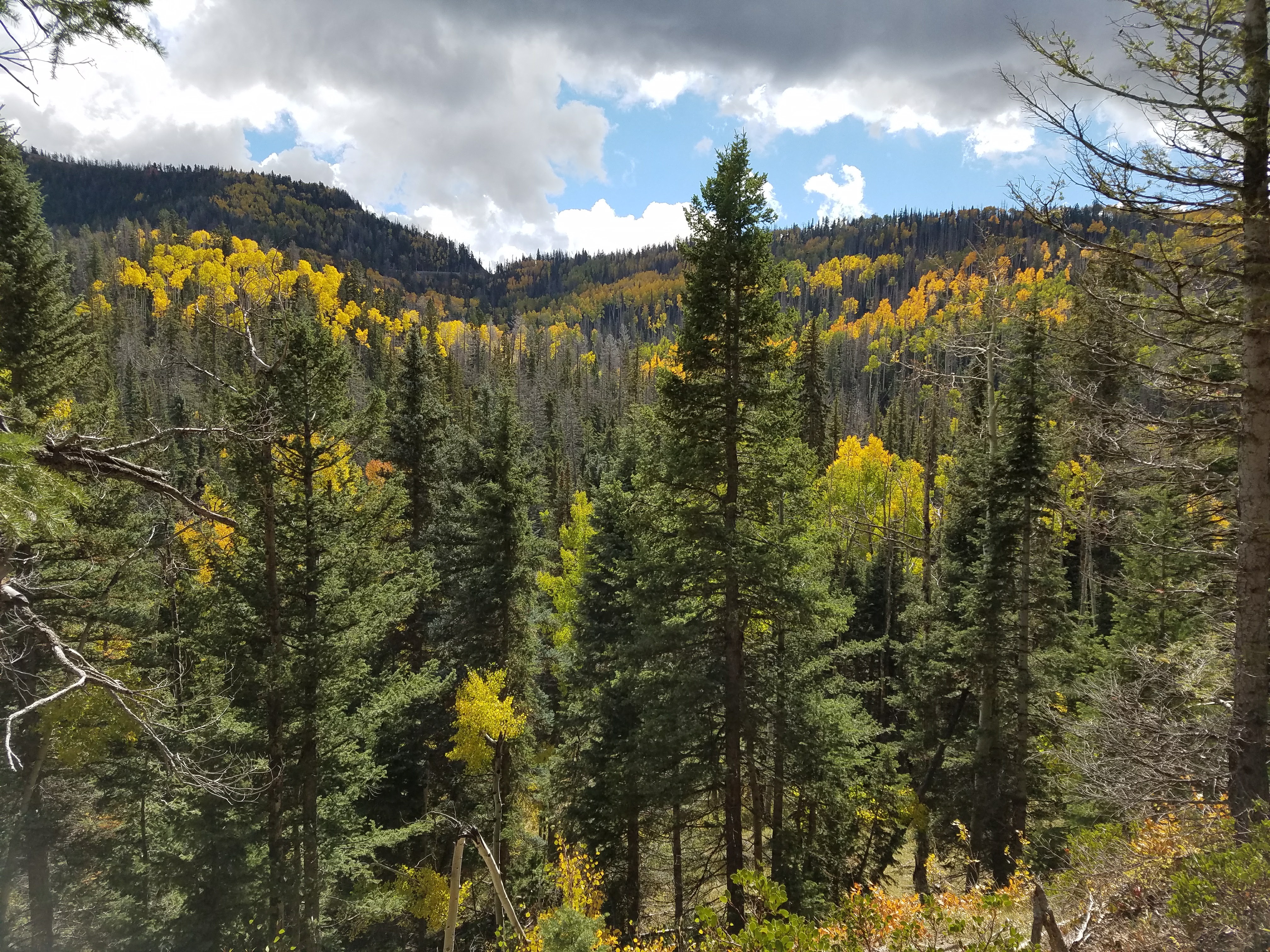
But it’s so, so pretty. If you’ve never driven Highway 14 between I-15 and Route 89, you’re missing out. This is one of the prettiest places on earth. Red rocks, high prairies, lava fields. The forests are pine, fir and spruce mixed with aspen, and when the aspens turn colors in the autumn, the effect is amazing.
So, yeah, “Markagunt Plateau” might not a beautiful name. But it’s a beautiful place. And I get to call it home.