For years, the Grand Canyon has been calling me. I’ve been wanting to complete a Rim-to-Rim-to-Rim (R3) run since I first heard it was possible. Actually, I scheduled one with a friend in 2023, but abnormally heavy snowfall the winter before meant heavy runoff and closed trails. Damon and I ended up running across Bryce Canyon National Park instead. But … not the same.
Early in 2025, my friend and coworker Greg asked me if I was interested in doing an R3 with his daughter and a friend. His daughter is a competitive downhill skier as well as a runner, and she wanted to do an R3 as part of an early graduation celebration. Naturally, I jumped at the chance. I didn’t have any races coming up, but I was continuing to train like I had multiple marathons on deck. Still, most of my training had been “on the flat.” I knew I wasn’t really prepared for the climbing involved, but I was willing to do whatever was necessary to finish the challenge.
Distance, Elevation, Effort
Just to be clear, a same-day Grand Canyon Rim-to-Rim-to-Rim (regardless of whether it begins at the South Rim or the North Rim) is a massive endurance effort that combines ultra-marathon distance with huge vertical gain in extreme environmental conditions. It’s generally only attempted by highly trained, well-prepared endurance athletes. And us, apparently.

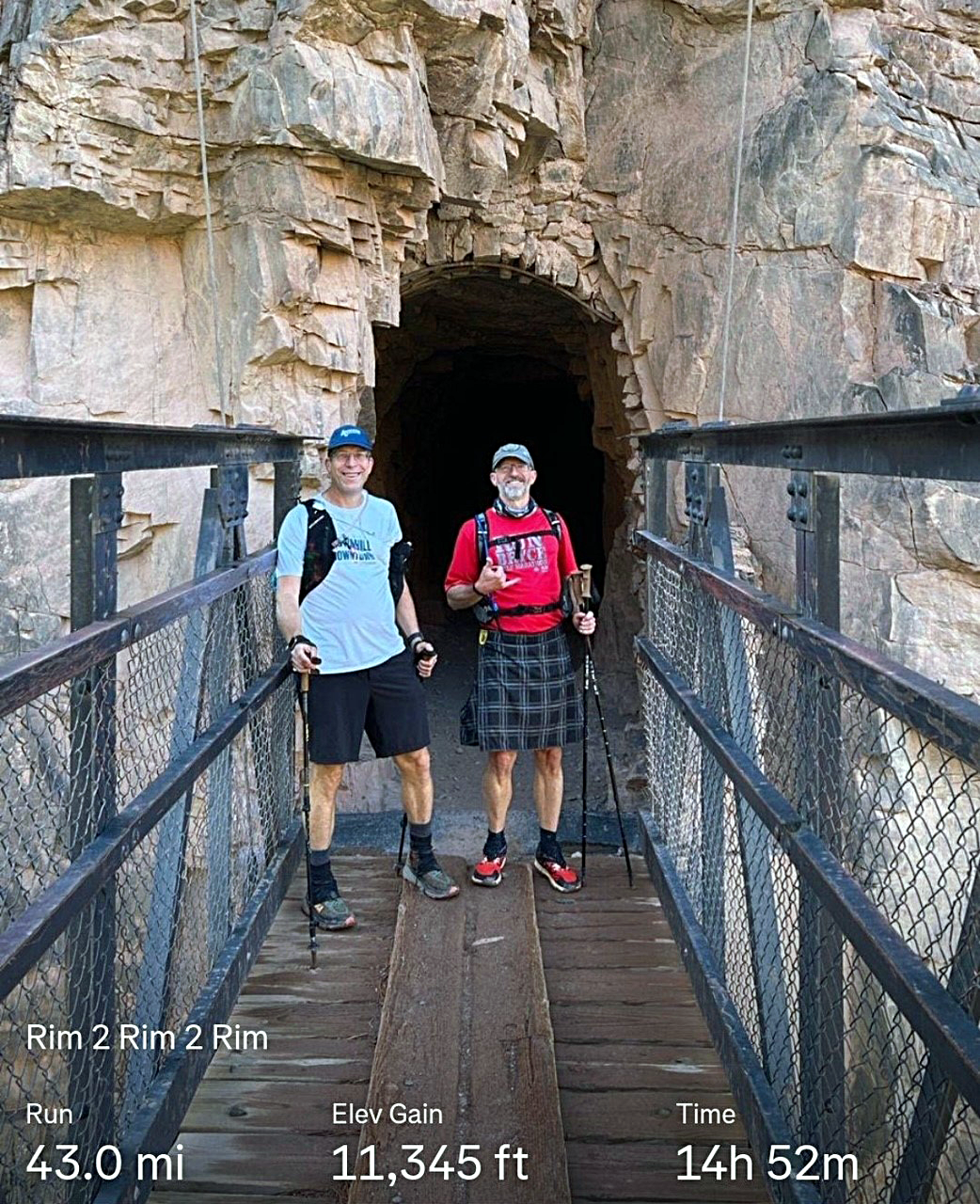
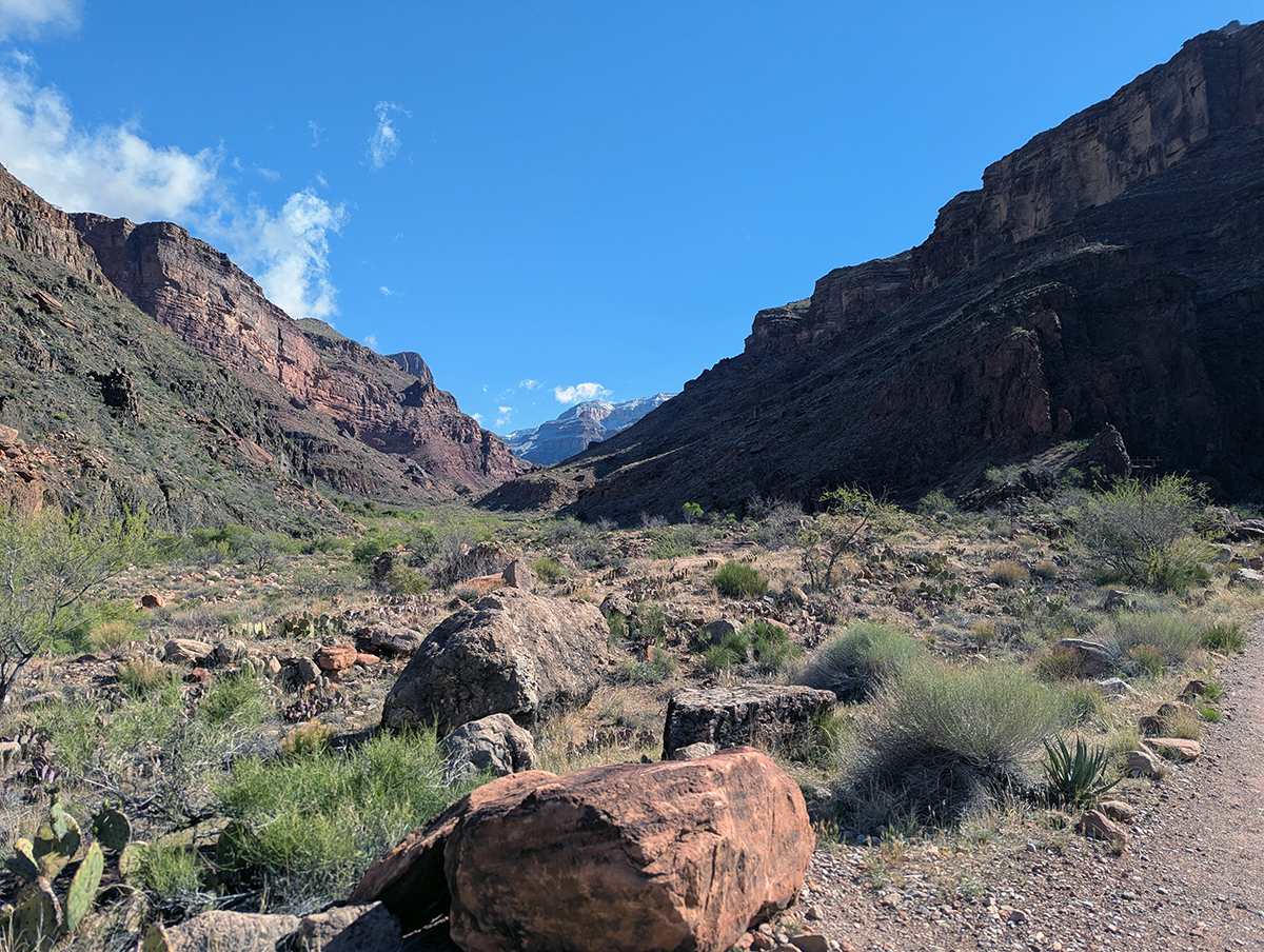
There are several standard R3 routes covering anywhere from 41 to 47 miles depending on whether they include the South Kaibab or Bright Angel trails on the South Rim. The Bright Angel Trail, the River Trail and Silver Bridge were all closed when we made our attempt, so we stuck to South Kaibab in both directions. Total elevation gain is on the order of 11,000 to 12,000 feet, meaning runners lose and then regain close to a vertical mile in either direction. This is definitely more difficult than any marathon I’ve run, and significantly harder than any of the 50K races I’ve completed.
Ultra runners warn that an R3 should not be attempted without extensive mountain training, heat preparation, and careful planning for water and nutrition. I have no idea how many people complete an R3 every year, but it’s probably in the hundreds rather than thousands. People who complete a one-way Rim-to-Rim in a day tend to describe it as “one of the hardest one-day hikes in the United States.” With an R3, you do that twice.
Breaking It Down
The version of the R3 we did can be broken down into six segments. They are:
- South Kaibab Trailhead to River: 6.45 mi, 230 ft gain
- River to Manzanita: 9.34 mi, 2,379 ft gain
- Manzanita to North Rim: 5.13 mi, 3,842 ft gain
- North Rim to Manzanita: 5.13 mi, 209 ft gain
- Manzanita to River: 9.34 mi, 321 ft gain
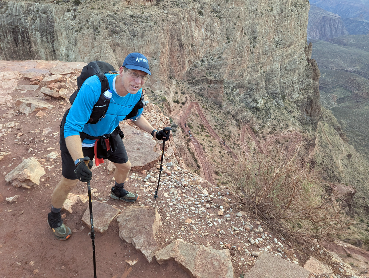
- River to South Kaibab Trailhead: 6.45 mi, 4,675 ft gain

The really tough segments are three, four and six, but six is the toughest because it’s the steepest. And of course, the hardest part comes at the end, in the dark, when you’ve already covered over 35 miles and climbed almost 7,000 feet.

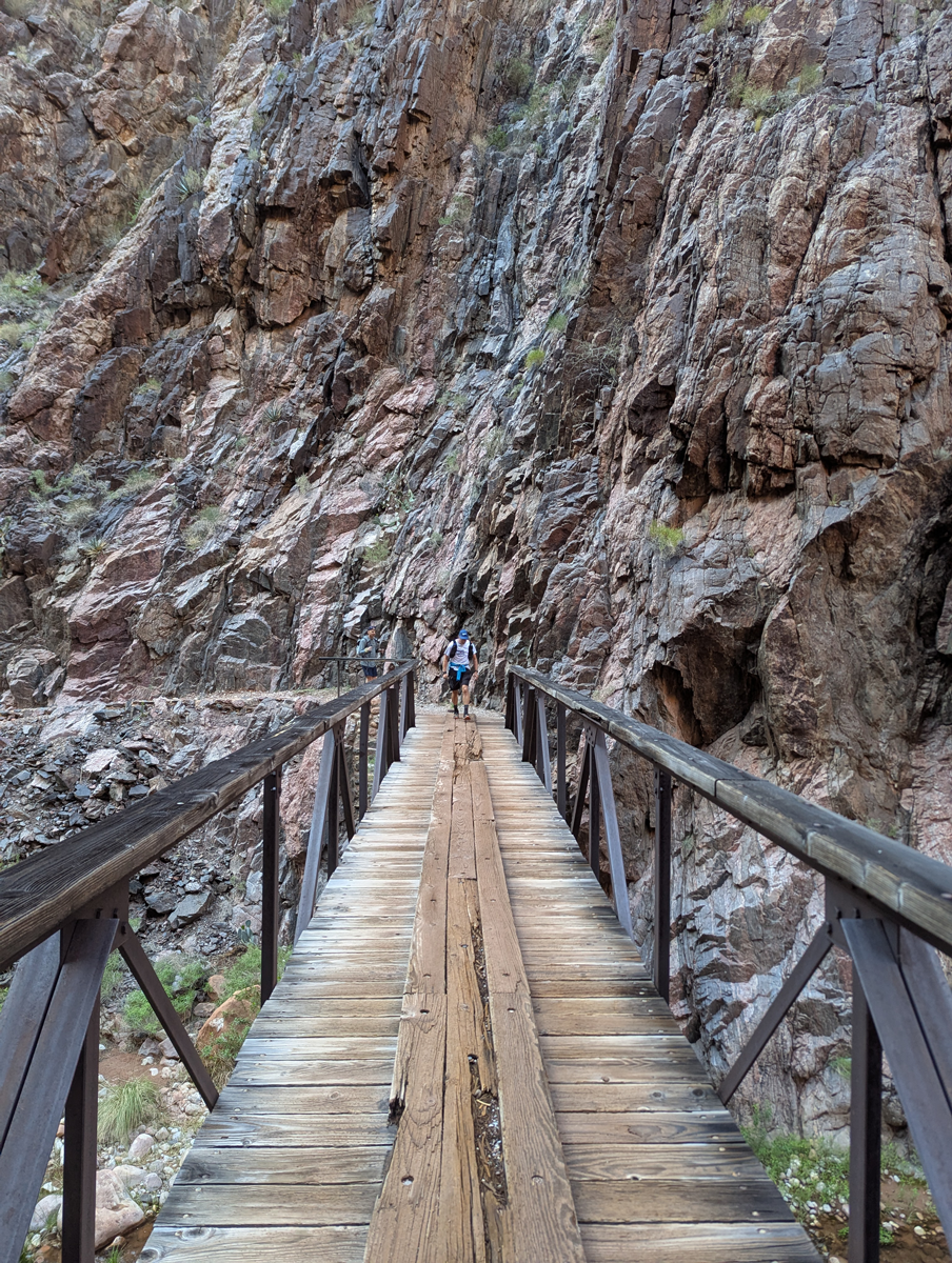
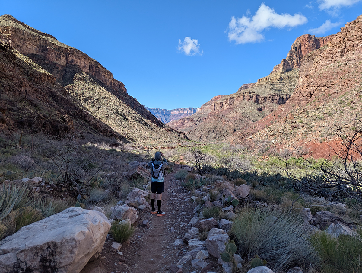
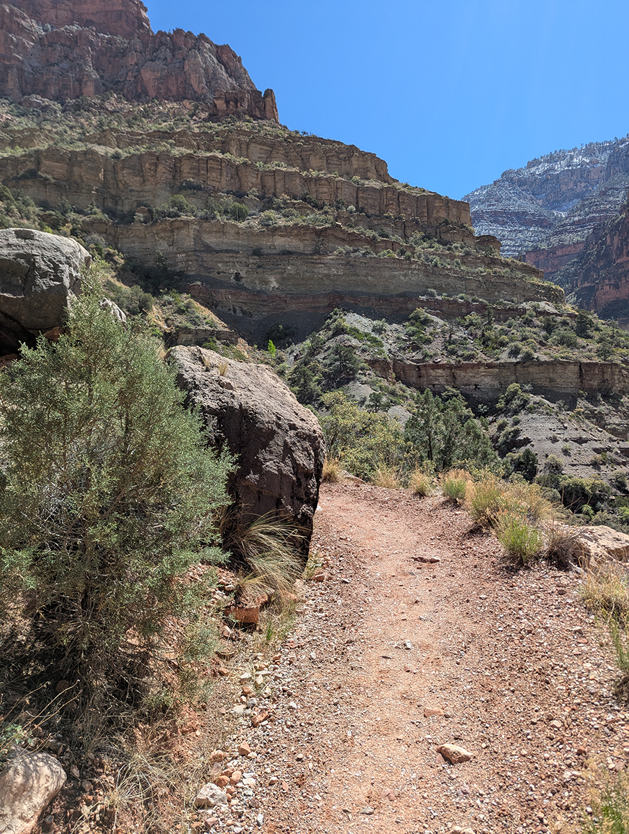
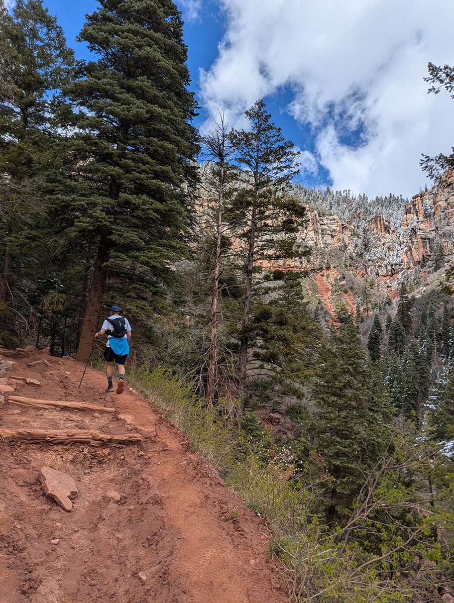
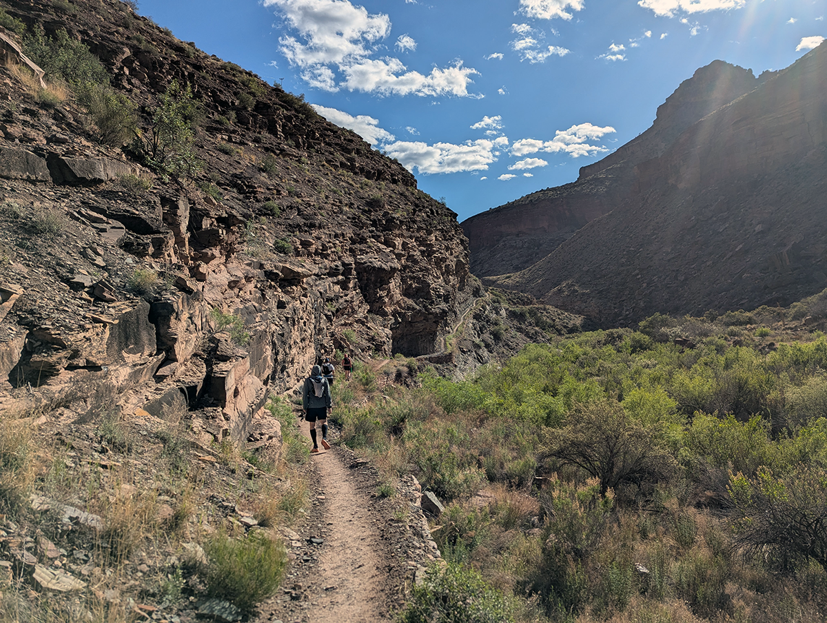
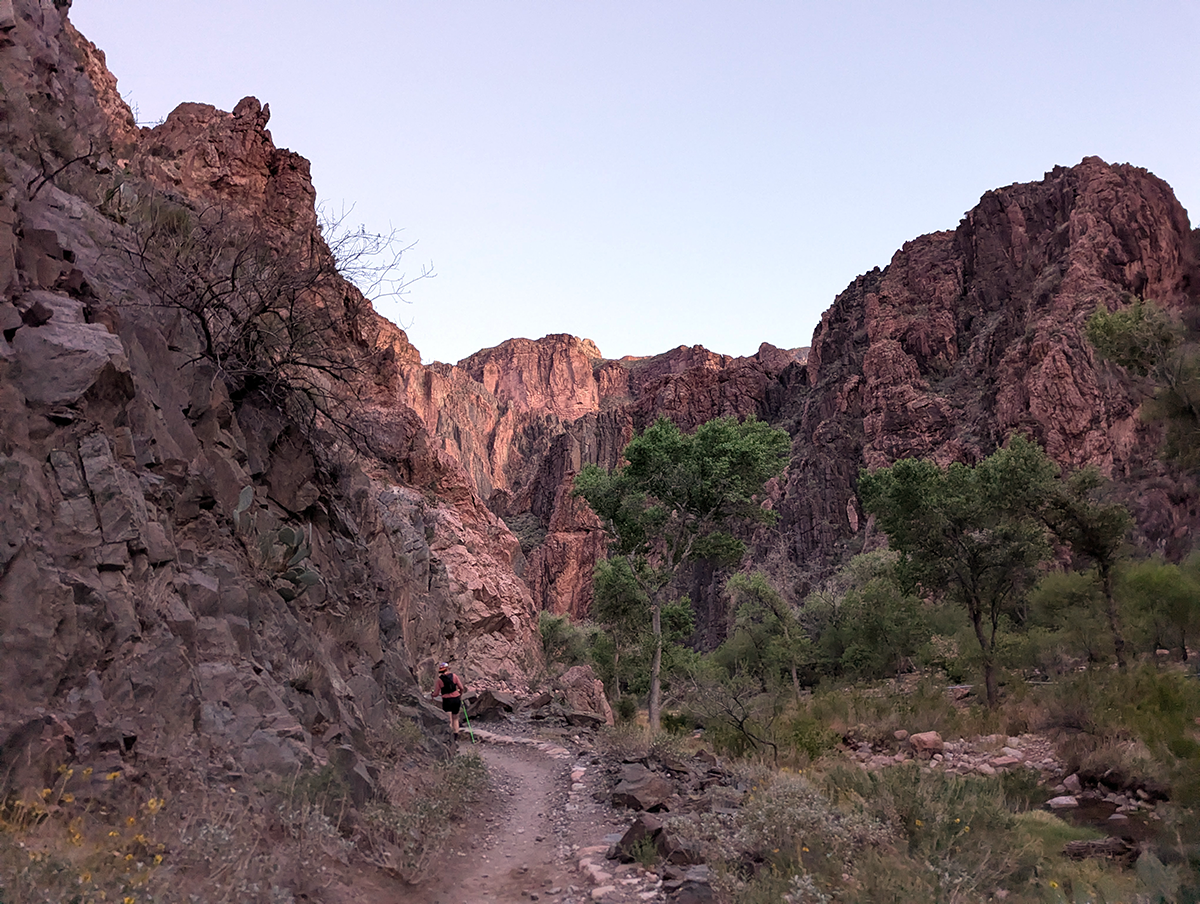
South Kaibab Trailhead to River
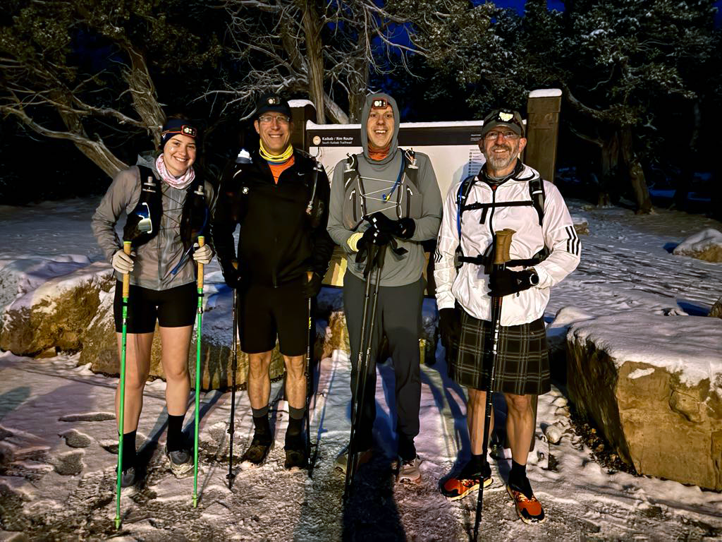
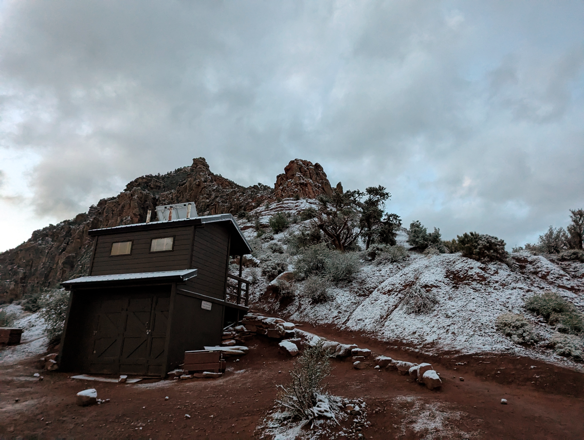
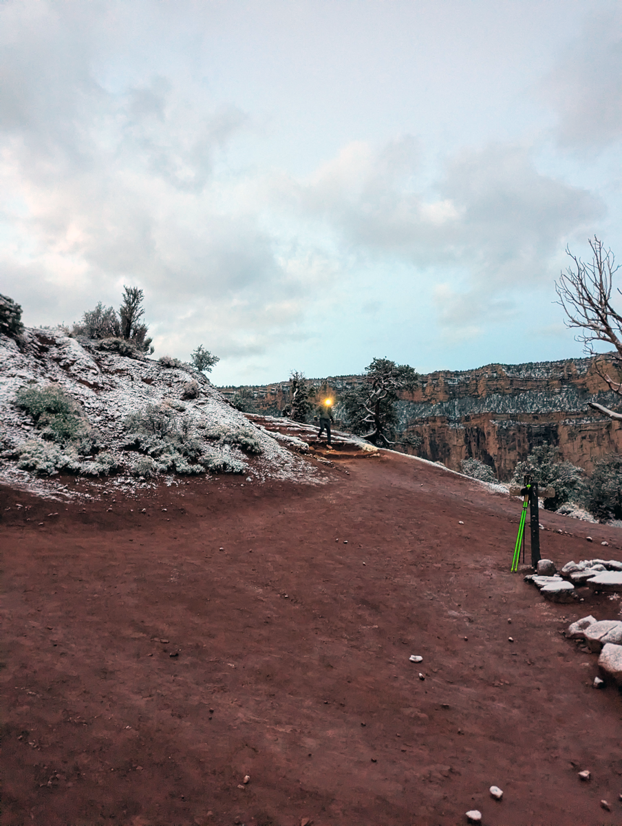
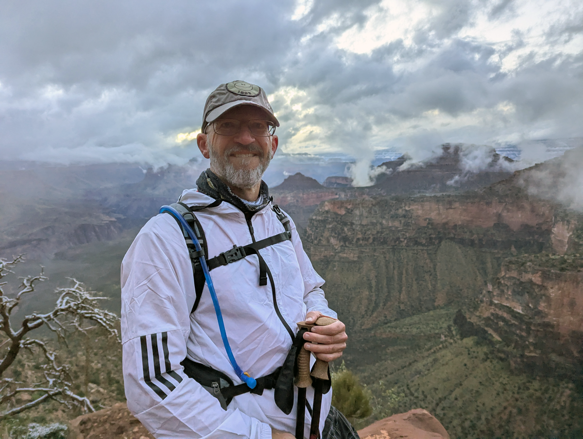
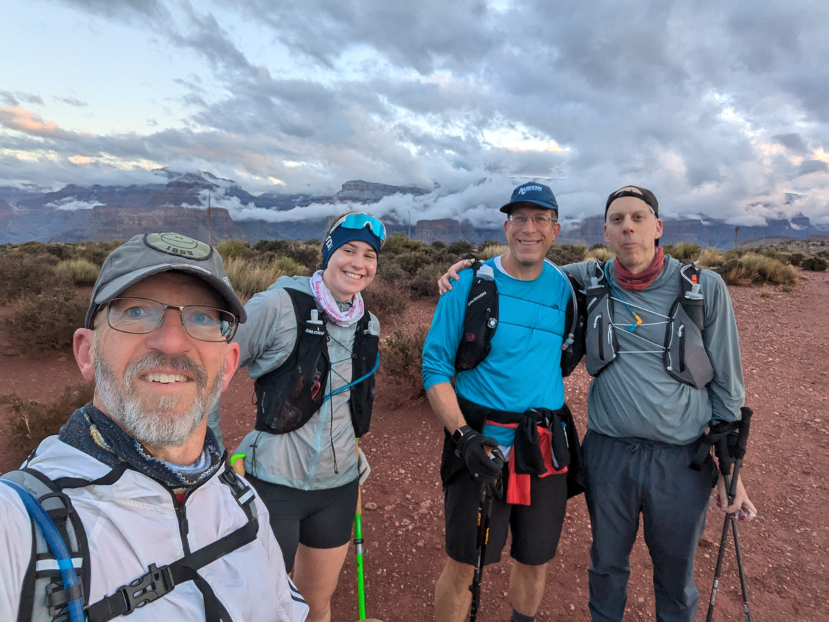
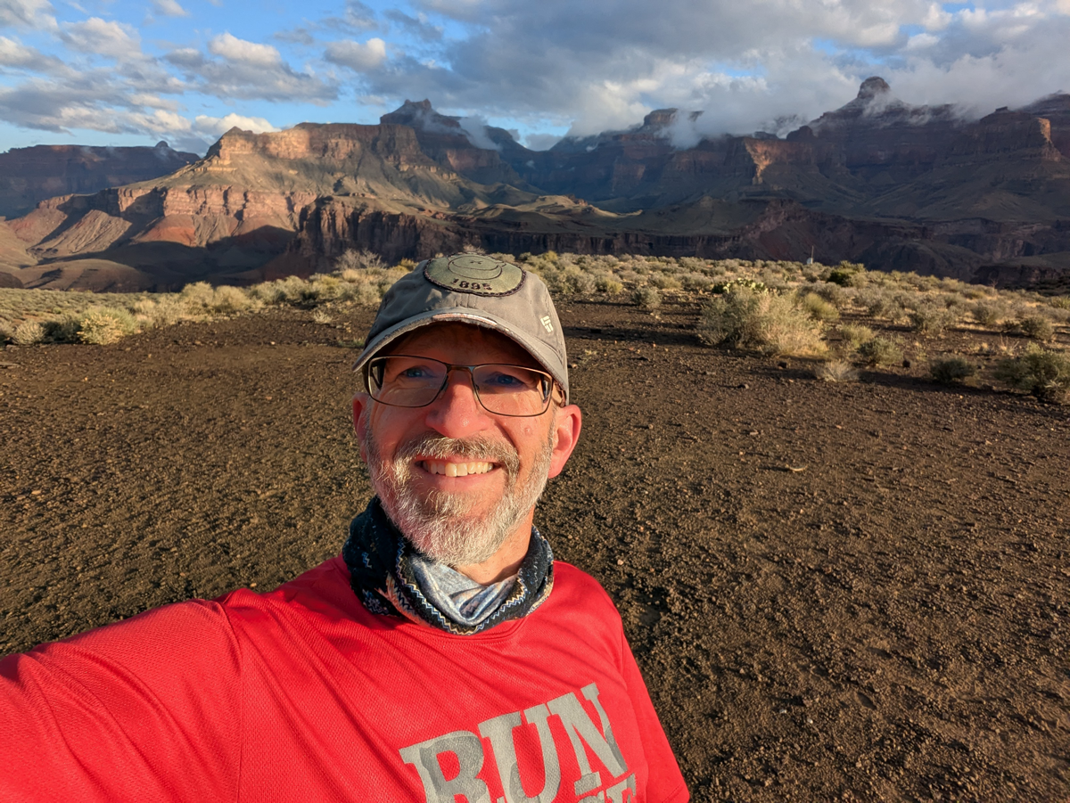
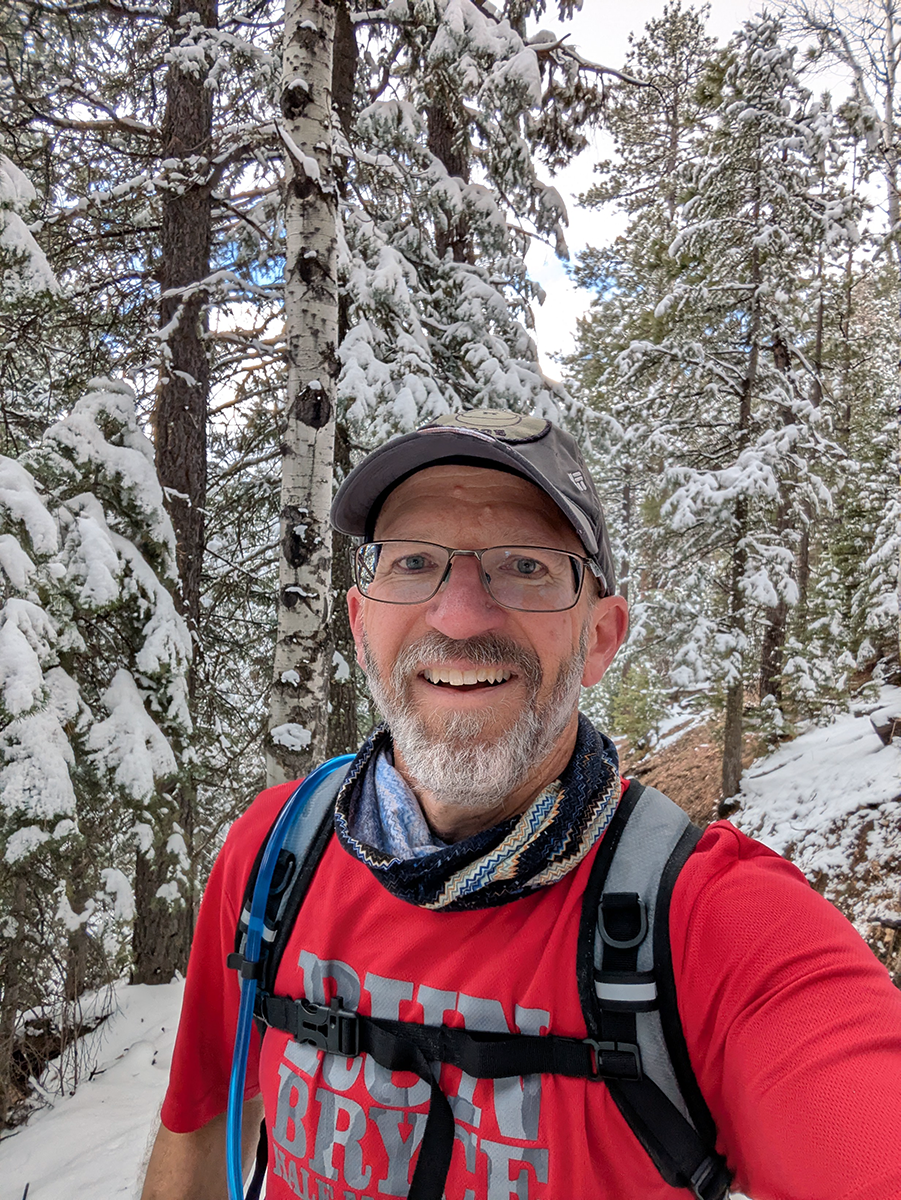
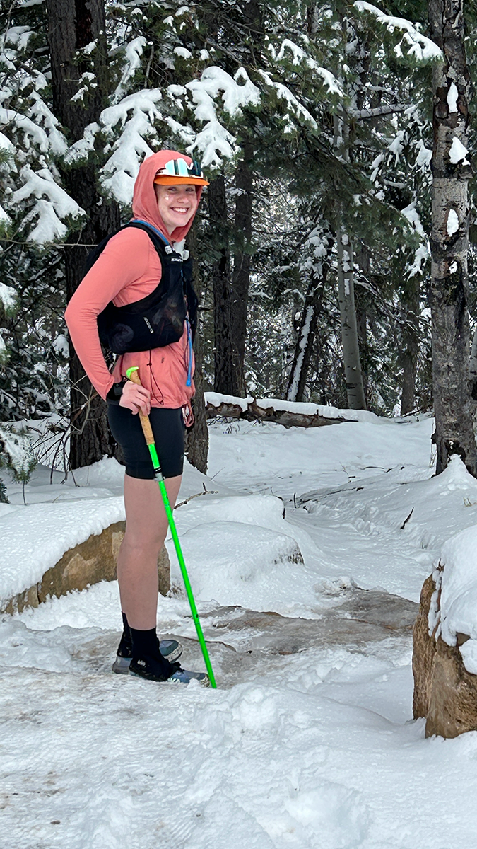
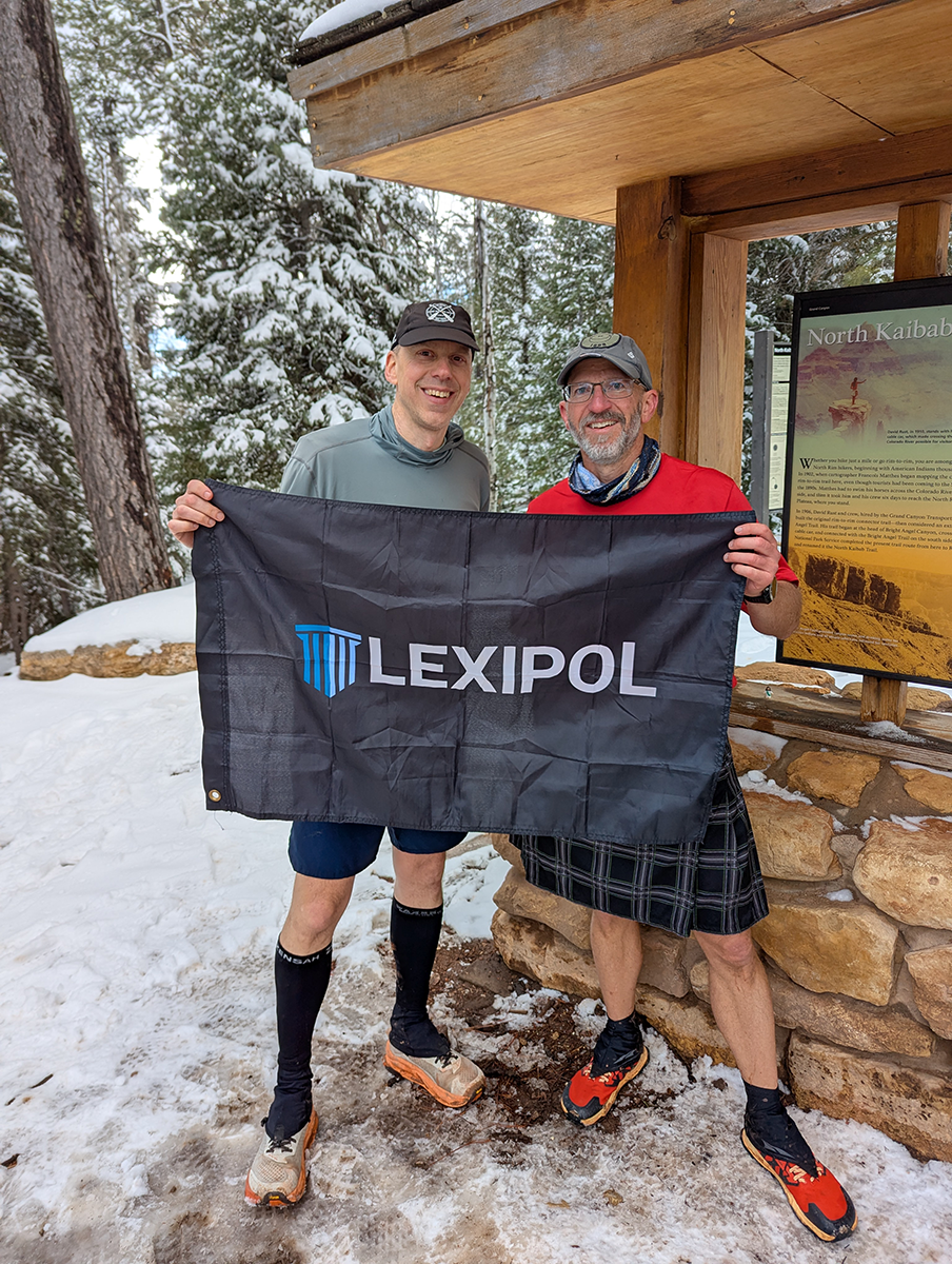
We set out before dawn in good spirits. While the others had stayed overnight at the South Rim, Marion and I had to drive an hour from our AirBNB in Williams to get to the park. It snowed on us along the way, which made me just a bit nervous. But when we met the others at the trailhead, the sky was dark and clearing. We snapped a quick team photo, strapped on our headlamps and started carefully down the trail.
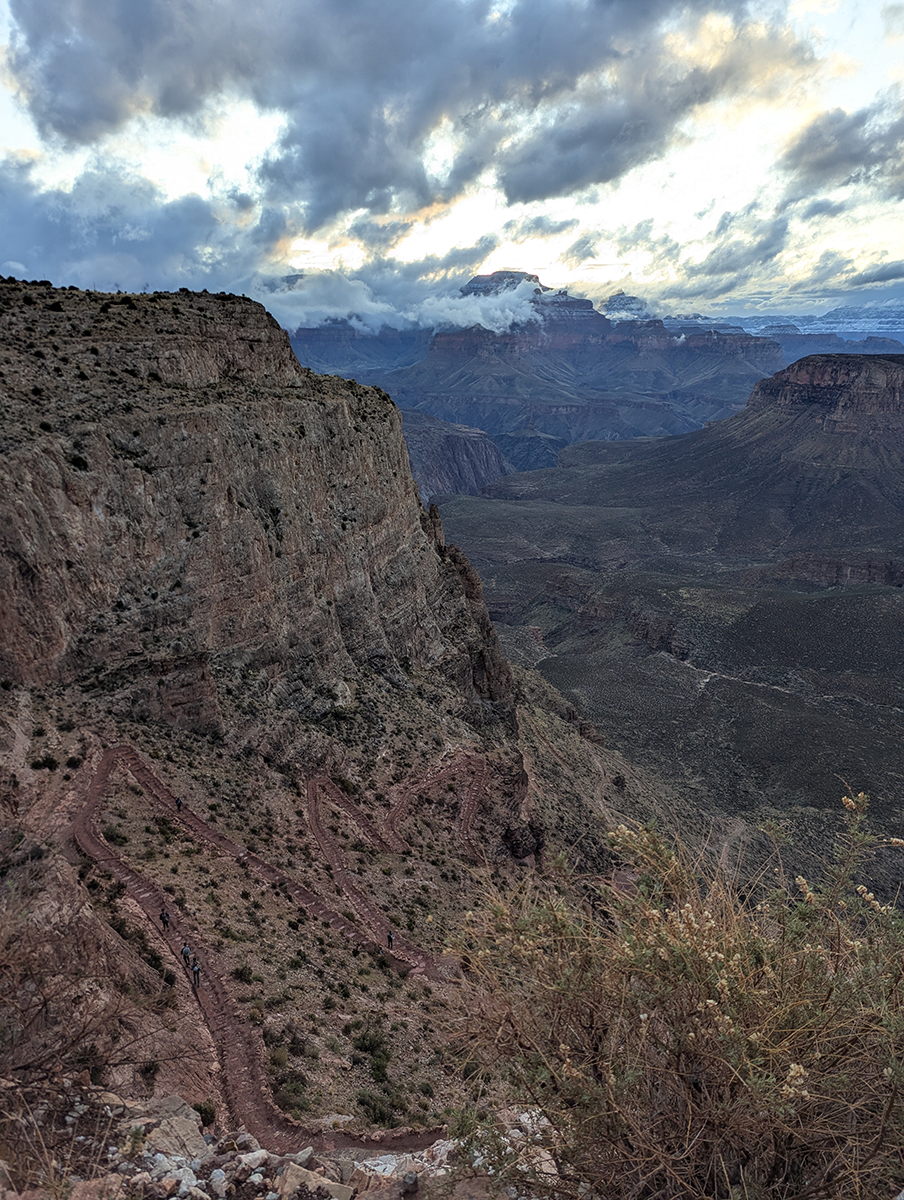
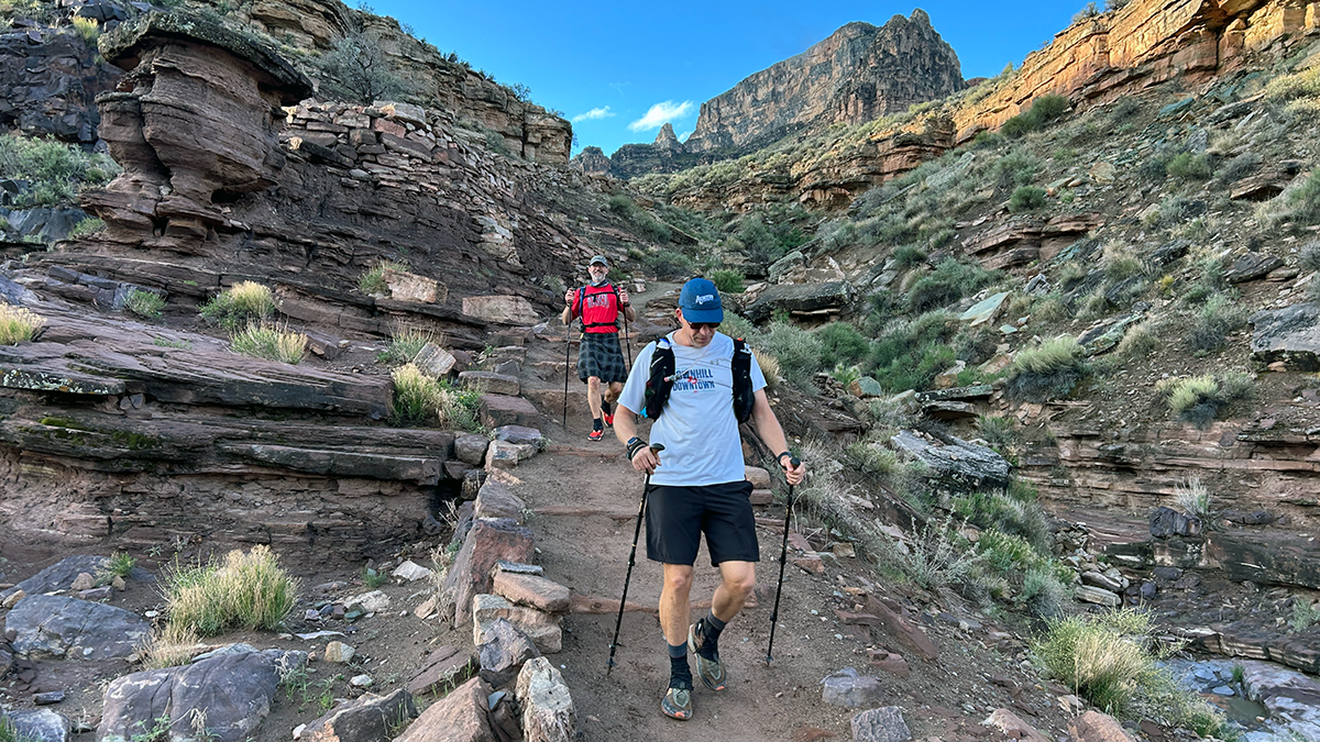
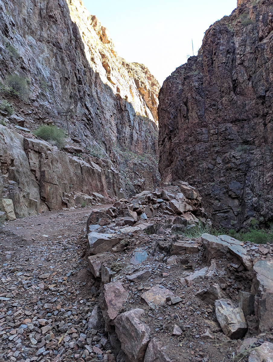
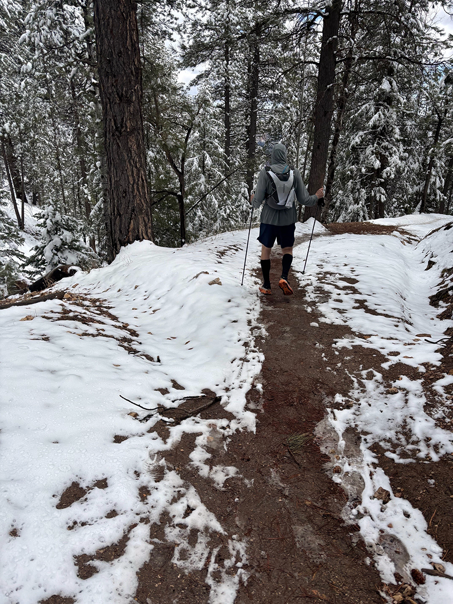
Except it’s not really a trail. It’s an obstacle course. The South Kaibab is lousy with logs, standing rocks, and other erosion control measures. Inevitably, these pool up with water, in this case melting snow. So much of the trip down to the river involved dodging puddles and patches of mud. Once the sun came up and things dried out a bit, things got a little easier. I was constantly reminded, though, that every step I took downhill would have to be regained later, in the dark.
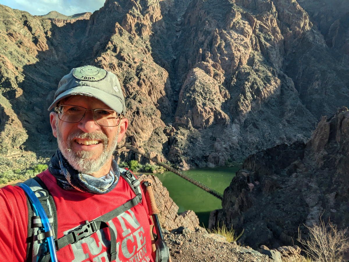
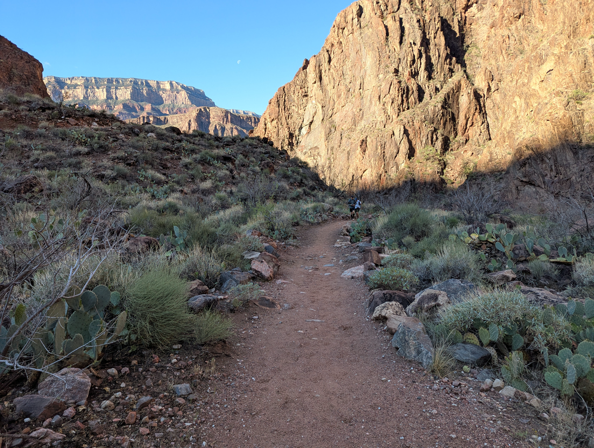
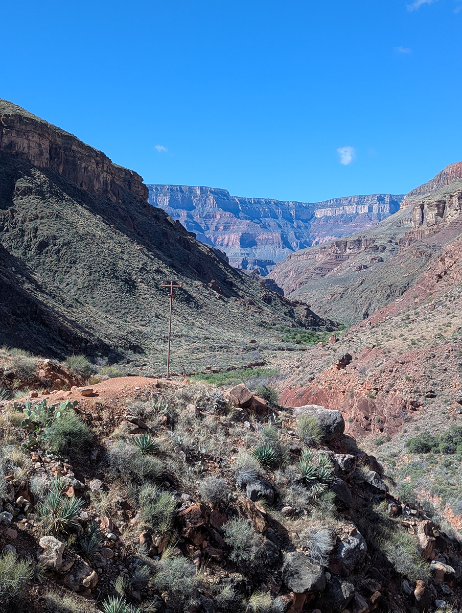
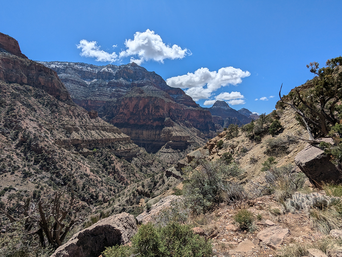
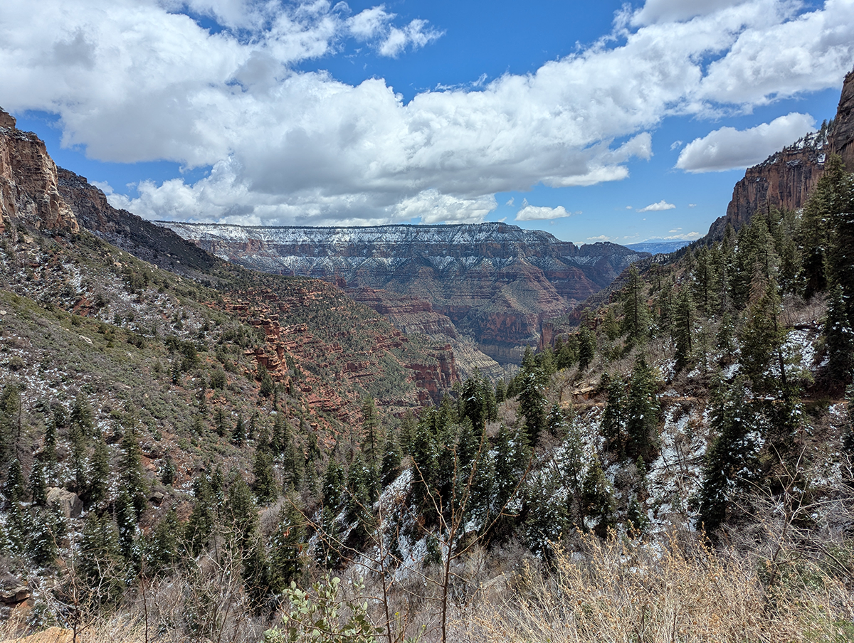
River to Manzanita
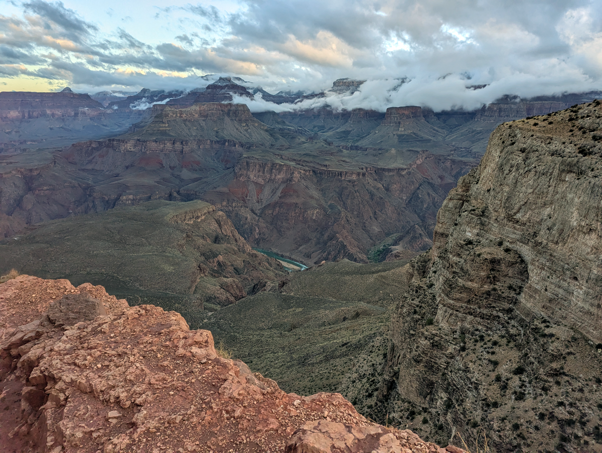
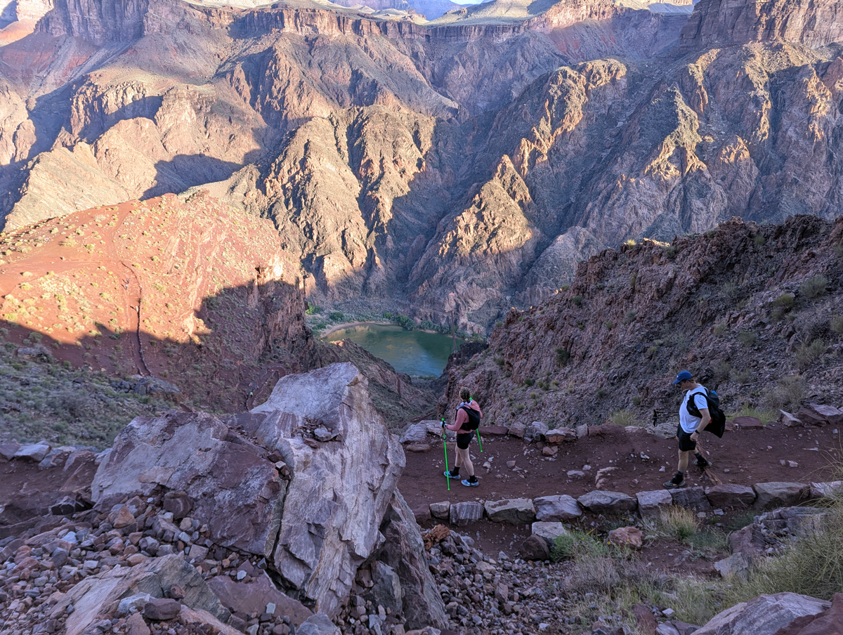
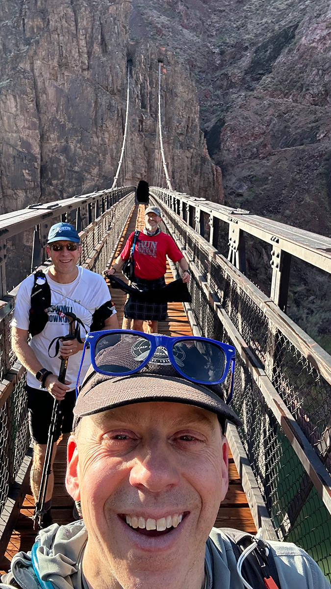
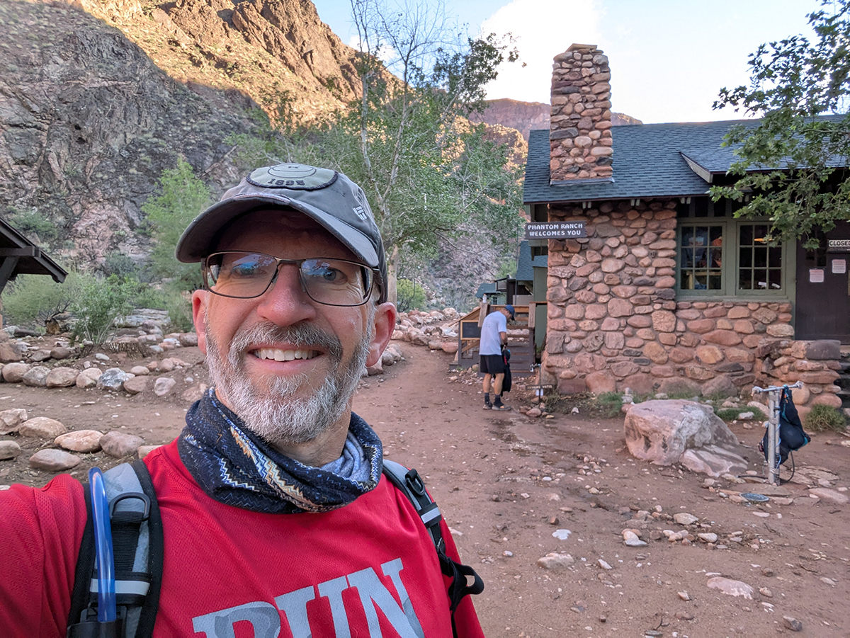
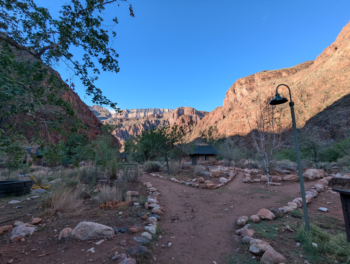
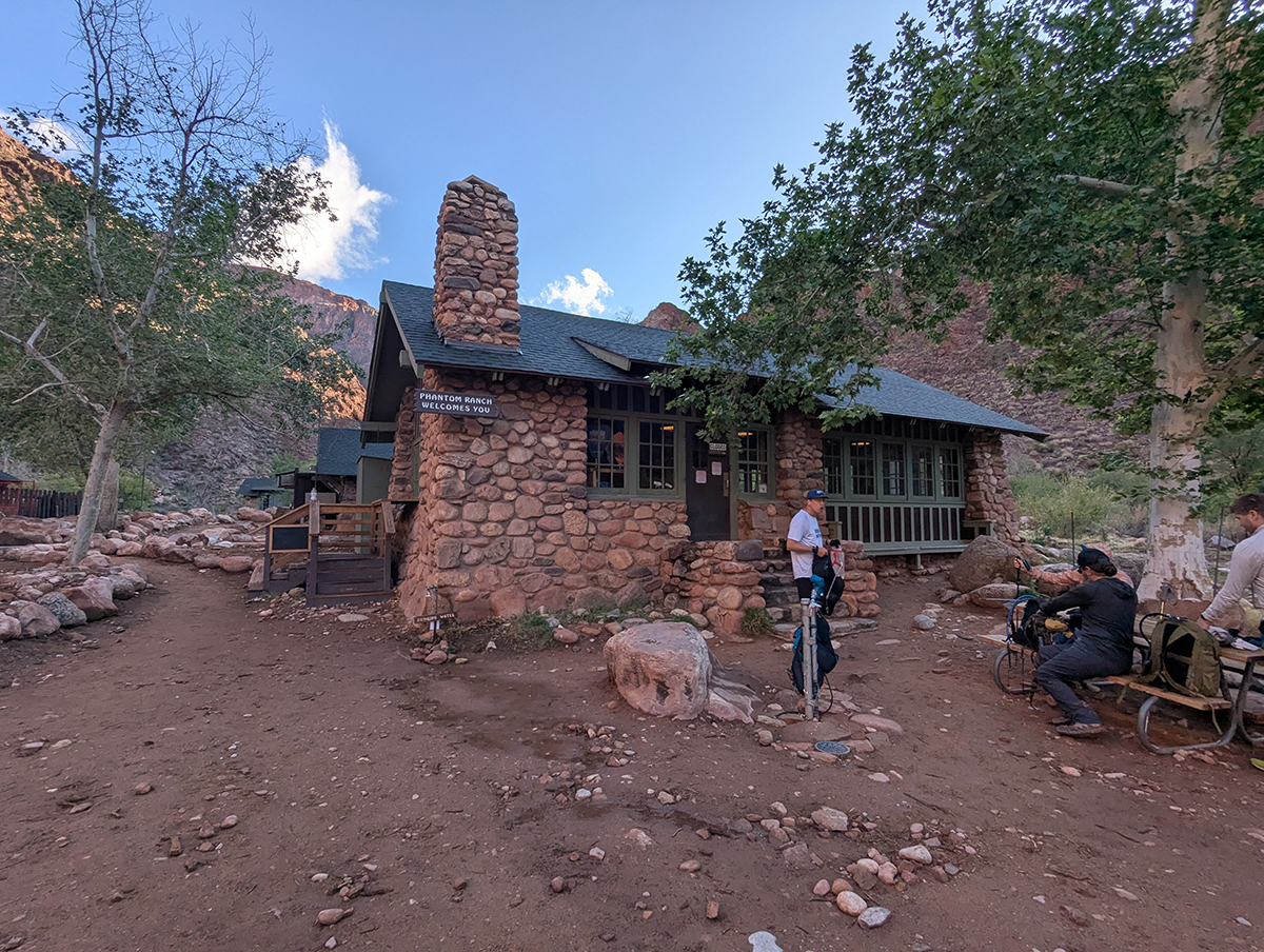
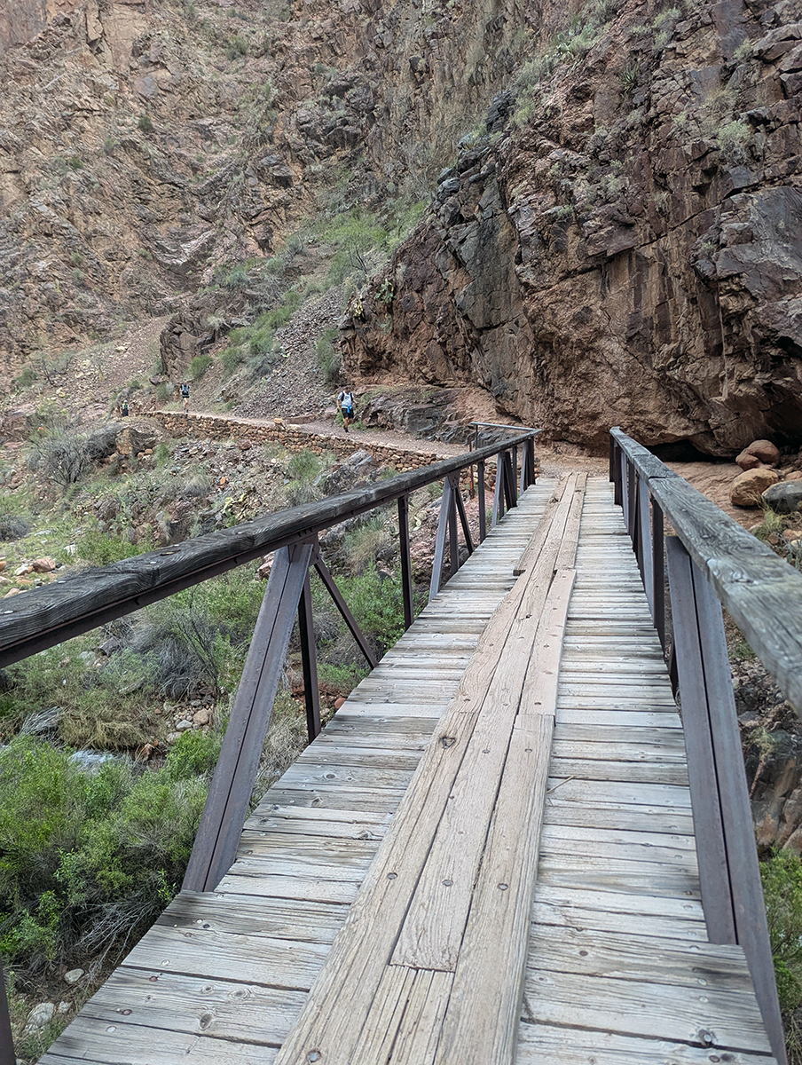
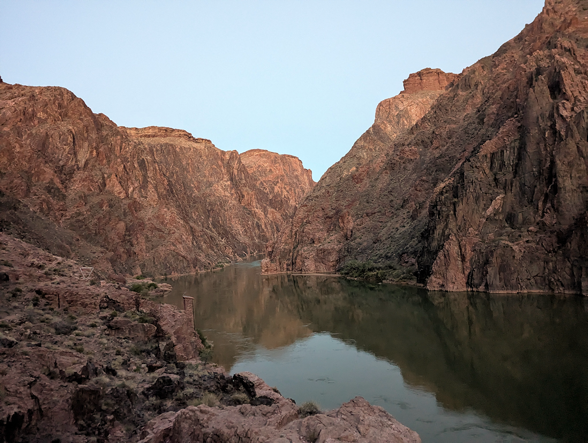
The Colorado River, at the heart of the Grand Canyon, is a ribbon of green bordered by high cliffs. Just on the other side of the river is Phantom Ranch, a historic lodge tucked along Bright Angel Creek just above its confluence with the Colorado River. The tiny village is reachable only by foot, mule or raft. Opened in 1922, it contains a small cluster of cabins and a canteen that serves as an overnight oasis for backpackers and hikers, surrounded by steep canyon walls and shaded by cottonwood trees. The four of us stopped for a short break, refilled our water bladders, then shouldered our packs and headed north.
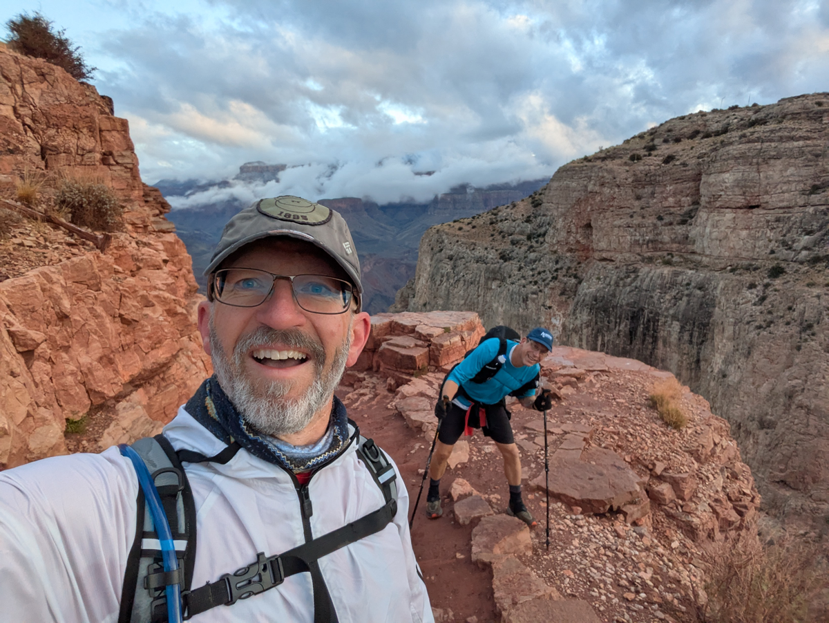
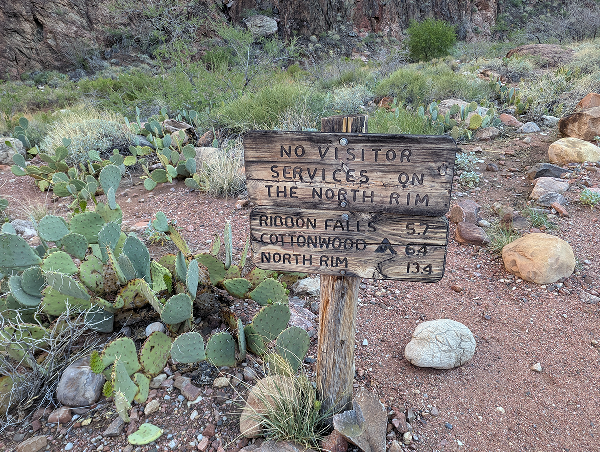
About a mile out of Phantom Ranch, we passed a sign indicating the North Rim was just 13.4 miles away. Rob pointed at the sign and said, “So, guys, it’s just over a marathon distance to the rim and back, and then we still have to climb another mile.” Sobering to think about, but we chugged ahead.
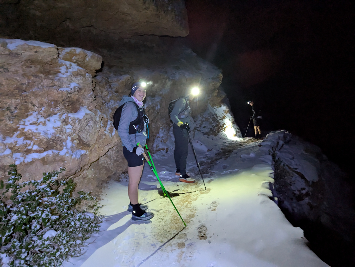
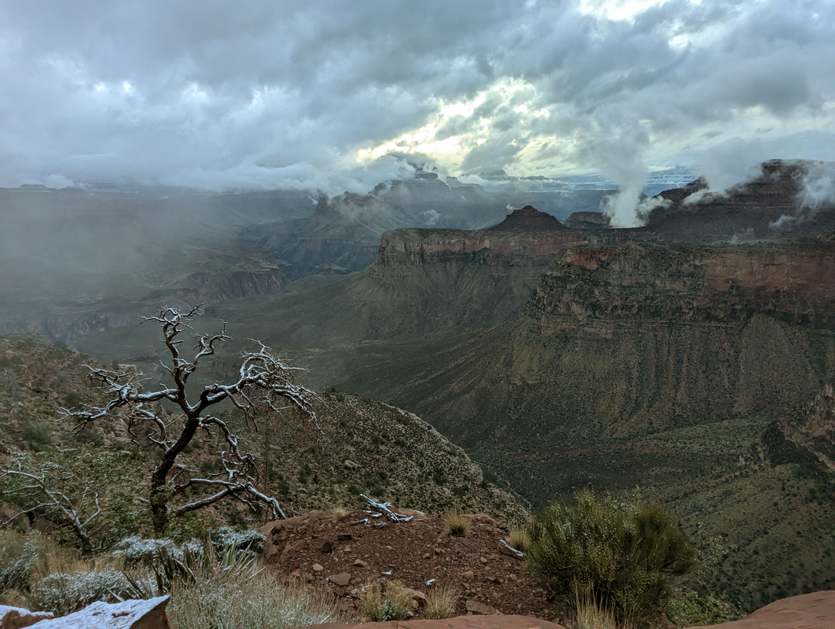
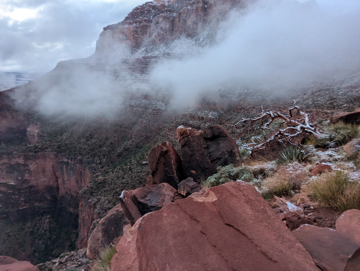
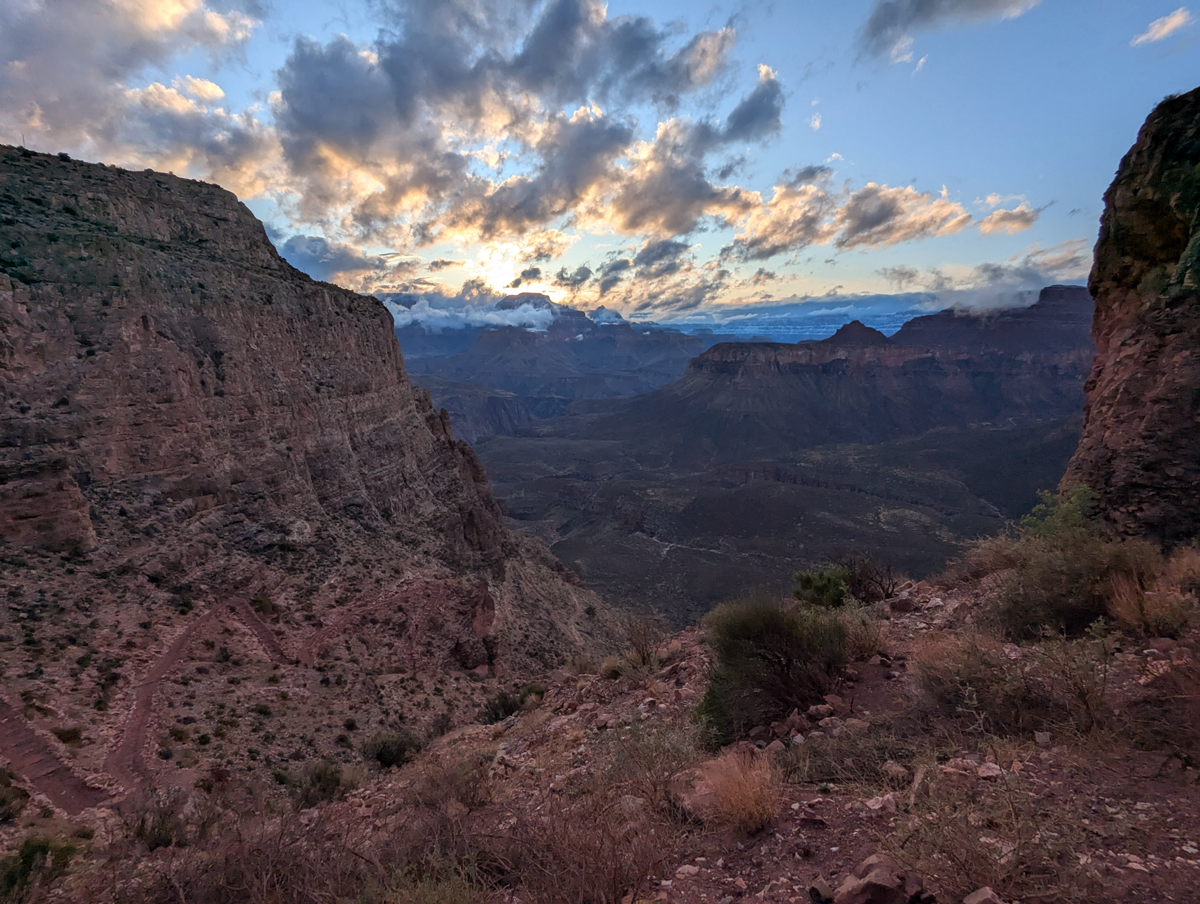
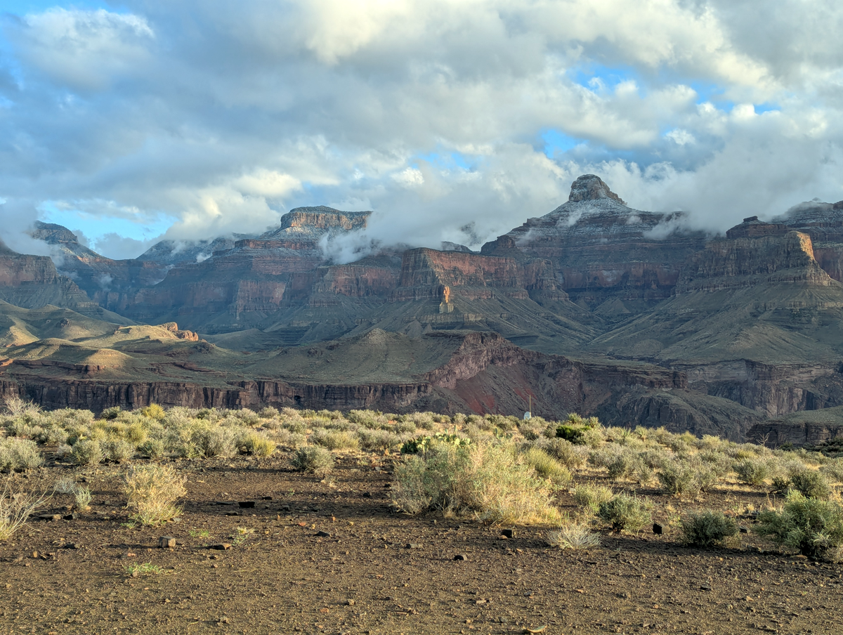
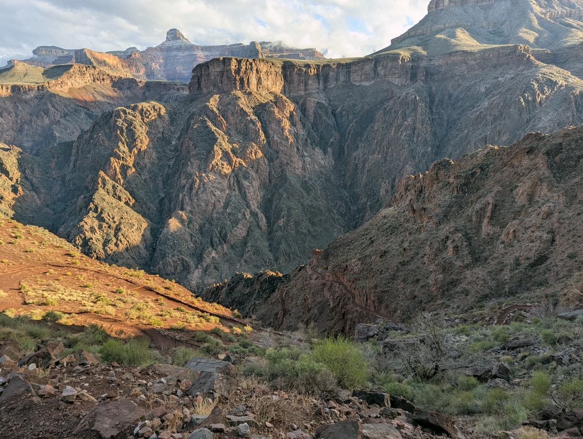
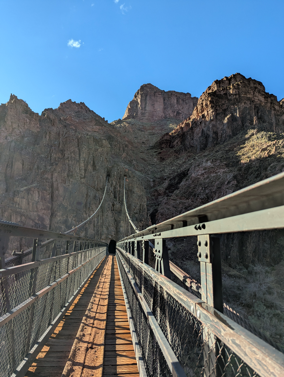
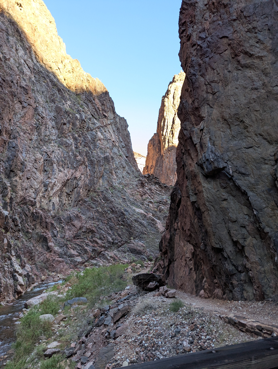
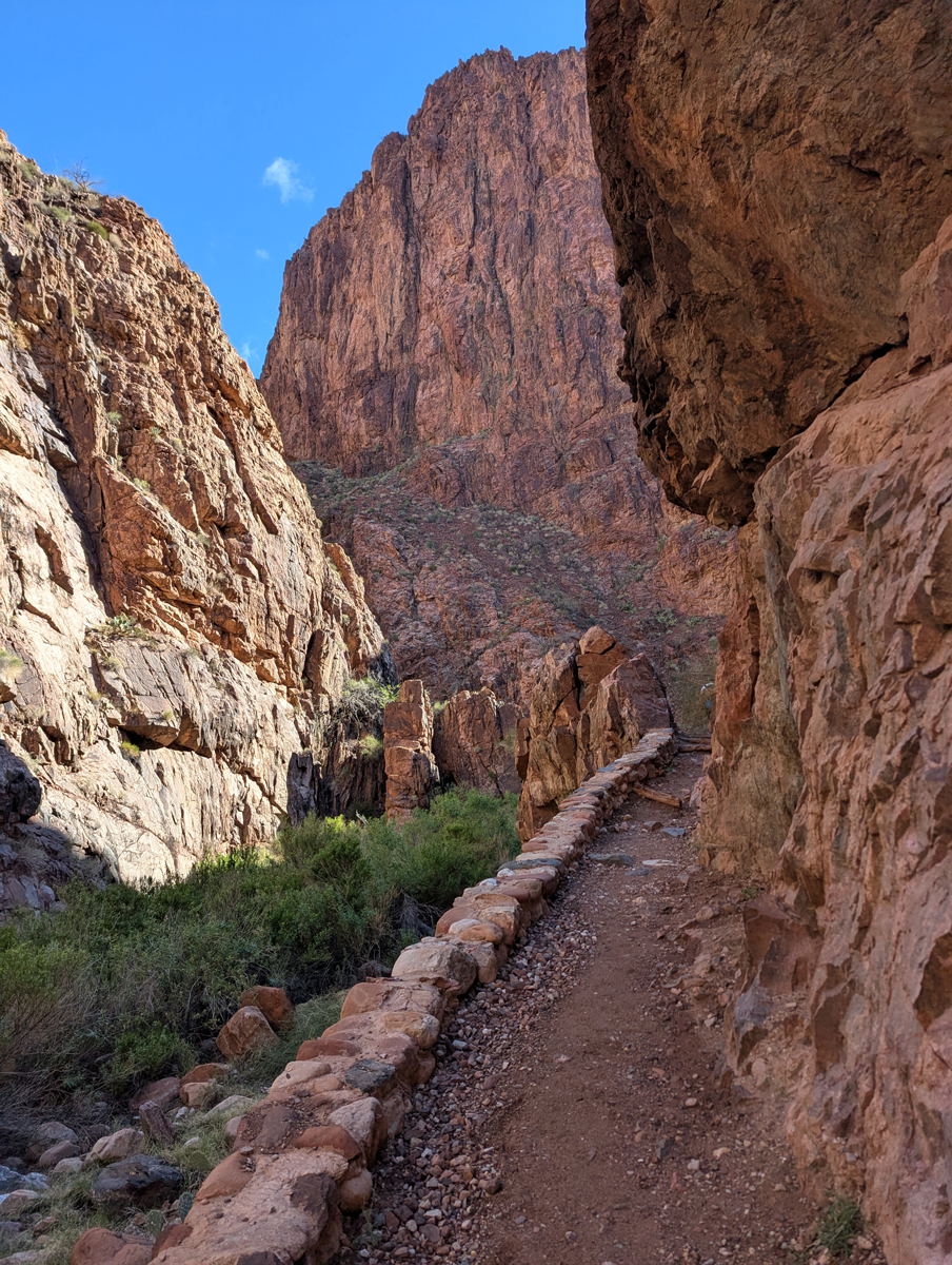
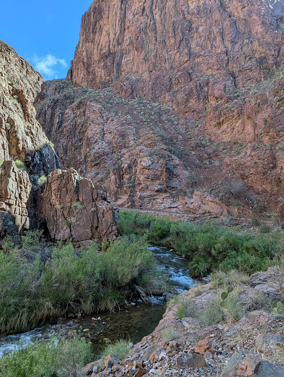
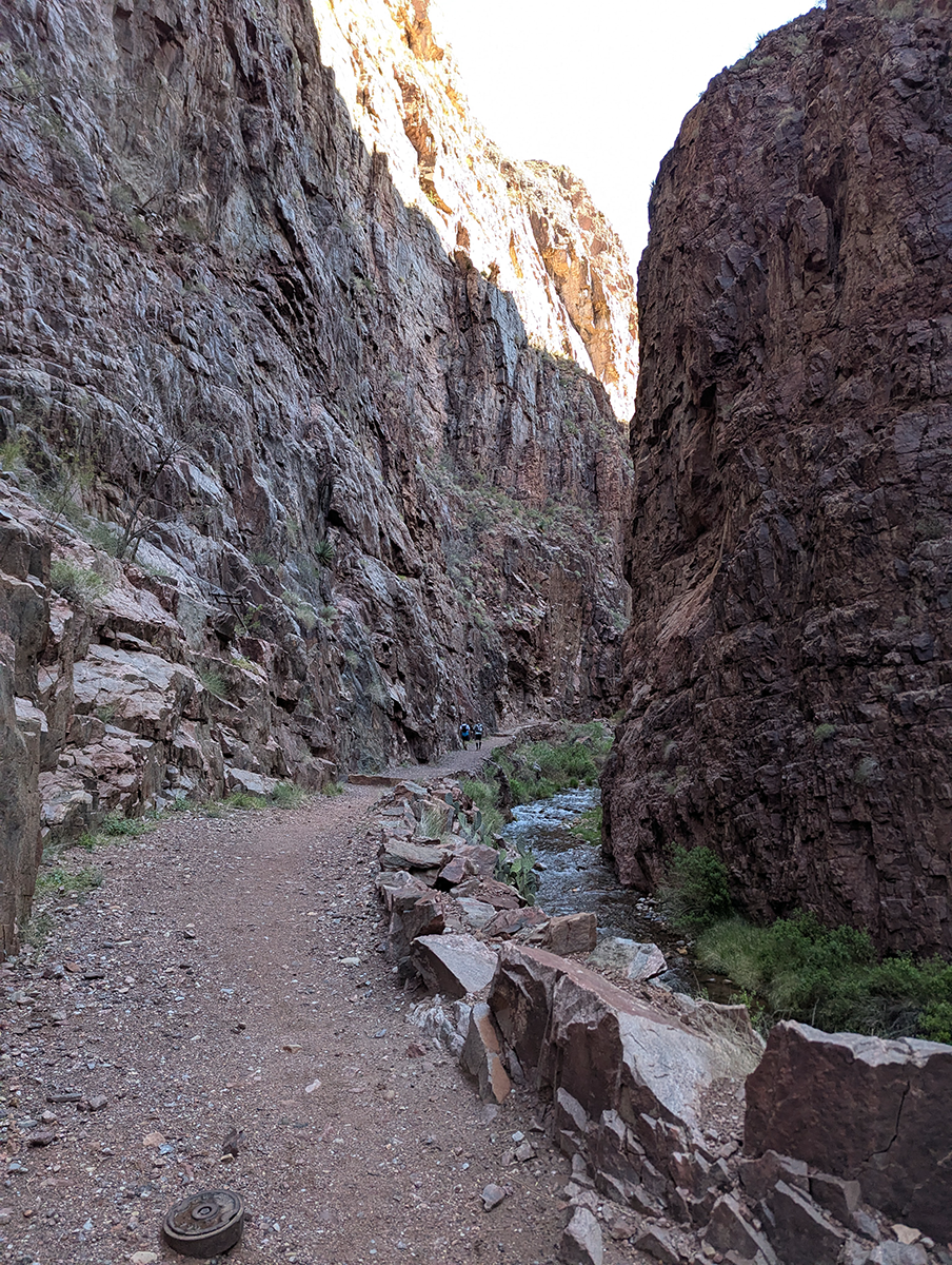
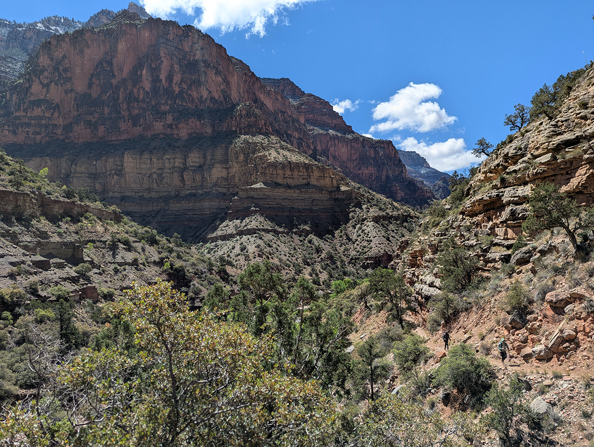
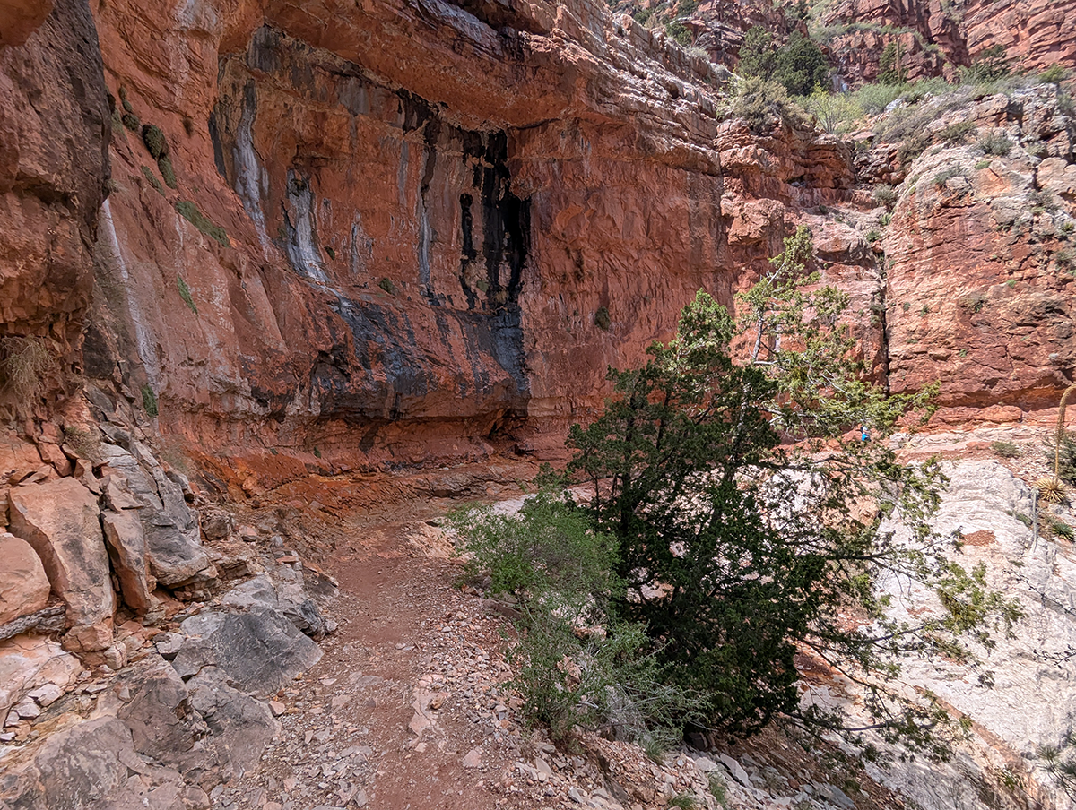
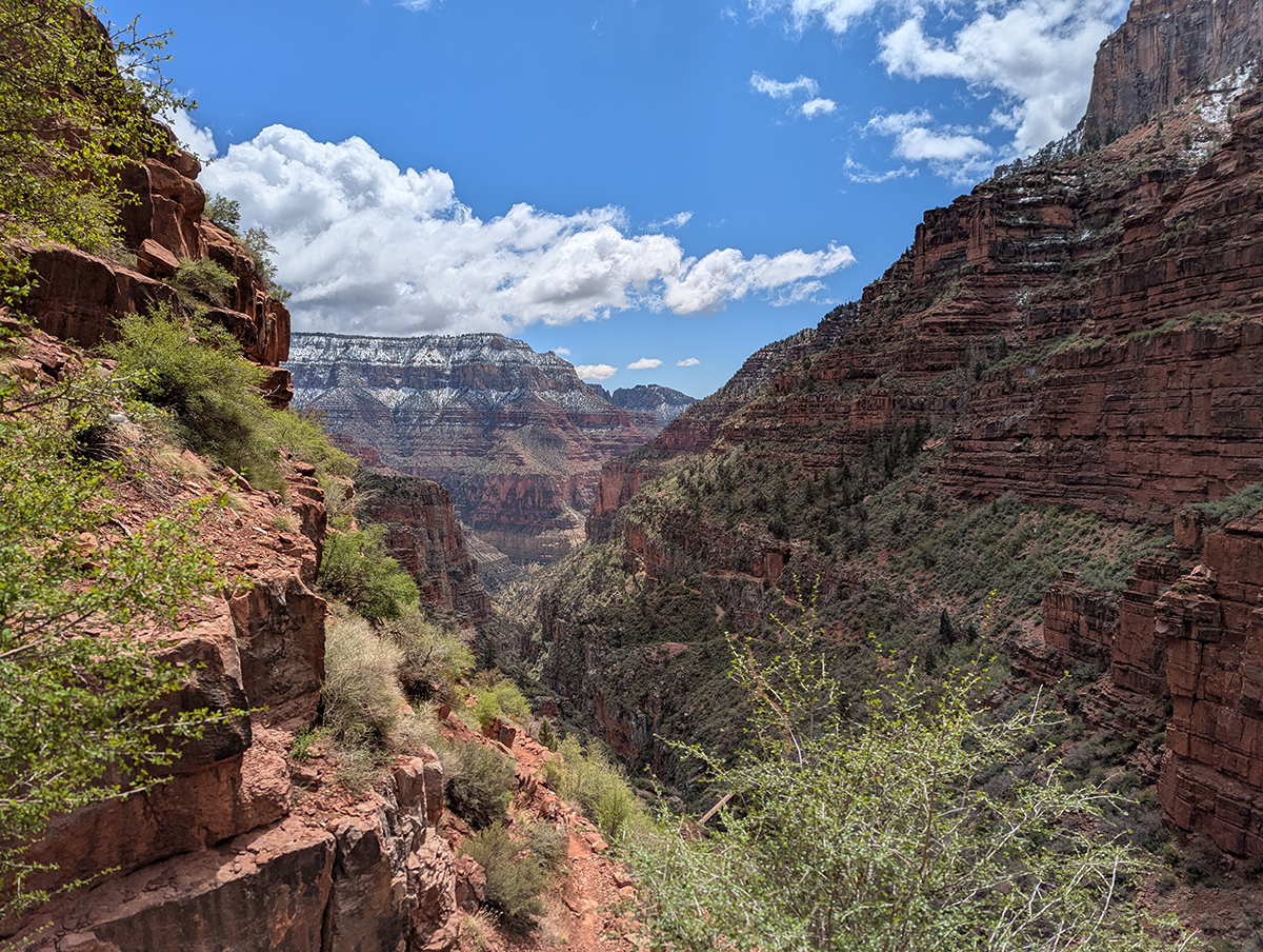
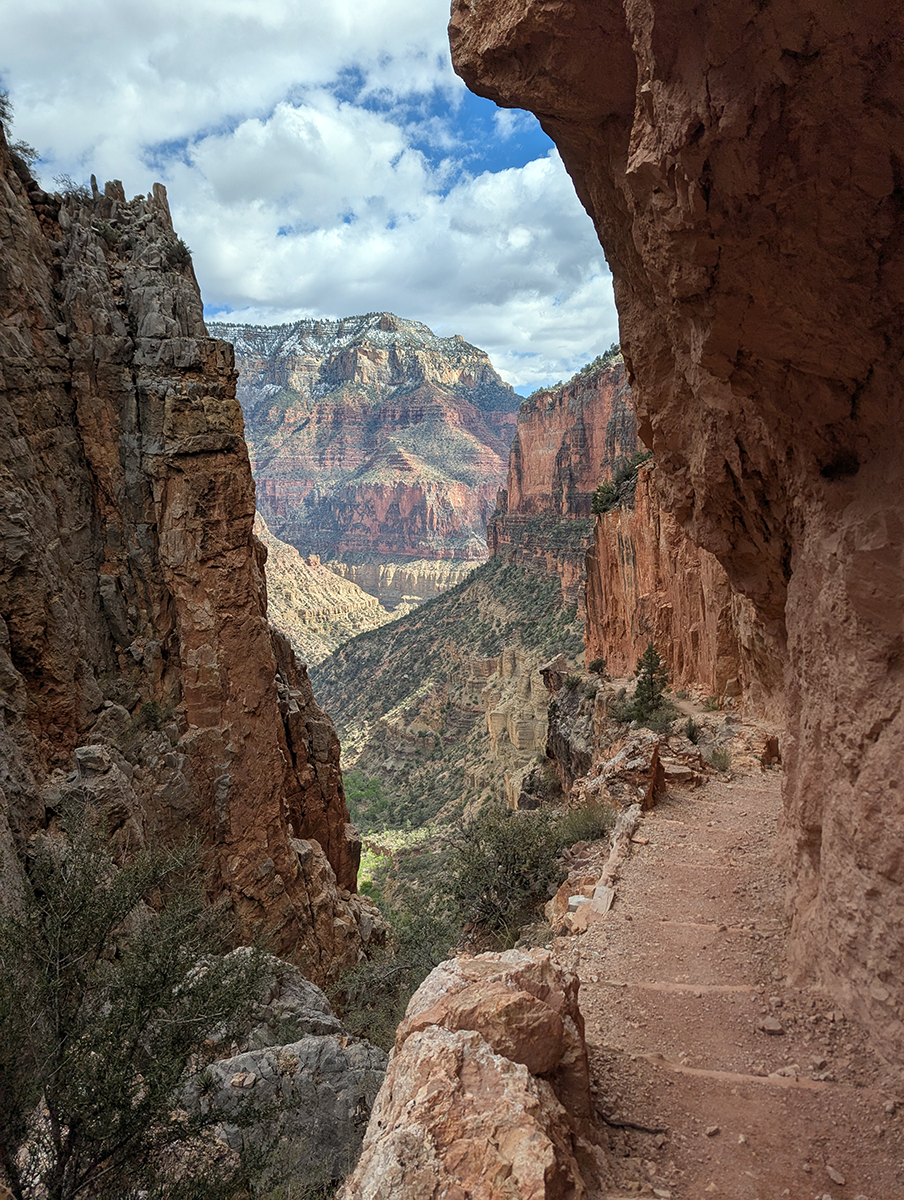
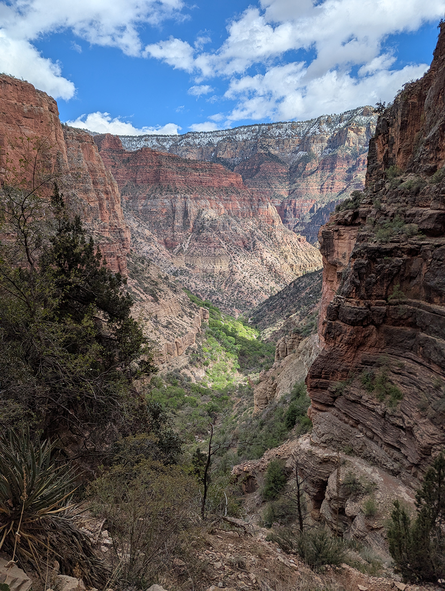
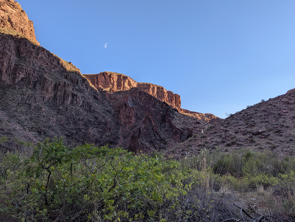
Next came “The Box,” a deep, narrow inner gorge where Bright Angel Creek has carved a twisting chasm between Phantom Ranch and the wider Bright Angel Canyon. We ran past sheer, dark walls rising on both sides of the creek. While The Box can bake like an oven when midday sun and trapped heat build up in summer, we were lucky to have mild temperatures in both directions. Aside from the early-morning snowfall, our day in the Grand Canyon was downright perfect.
The Box is one of the most beautiful, albeit claustrophobic, stretches of the North Kaibab Trail, thanks to its sculpted rock, lush creek-side vegetation, and the sense of being fully immersed in the heart of the canyon’s inner gorge. I took most of my photos “on the hoof,” while moving, so I didn’t slow our progress much.
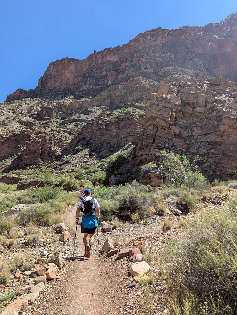
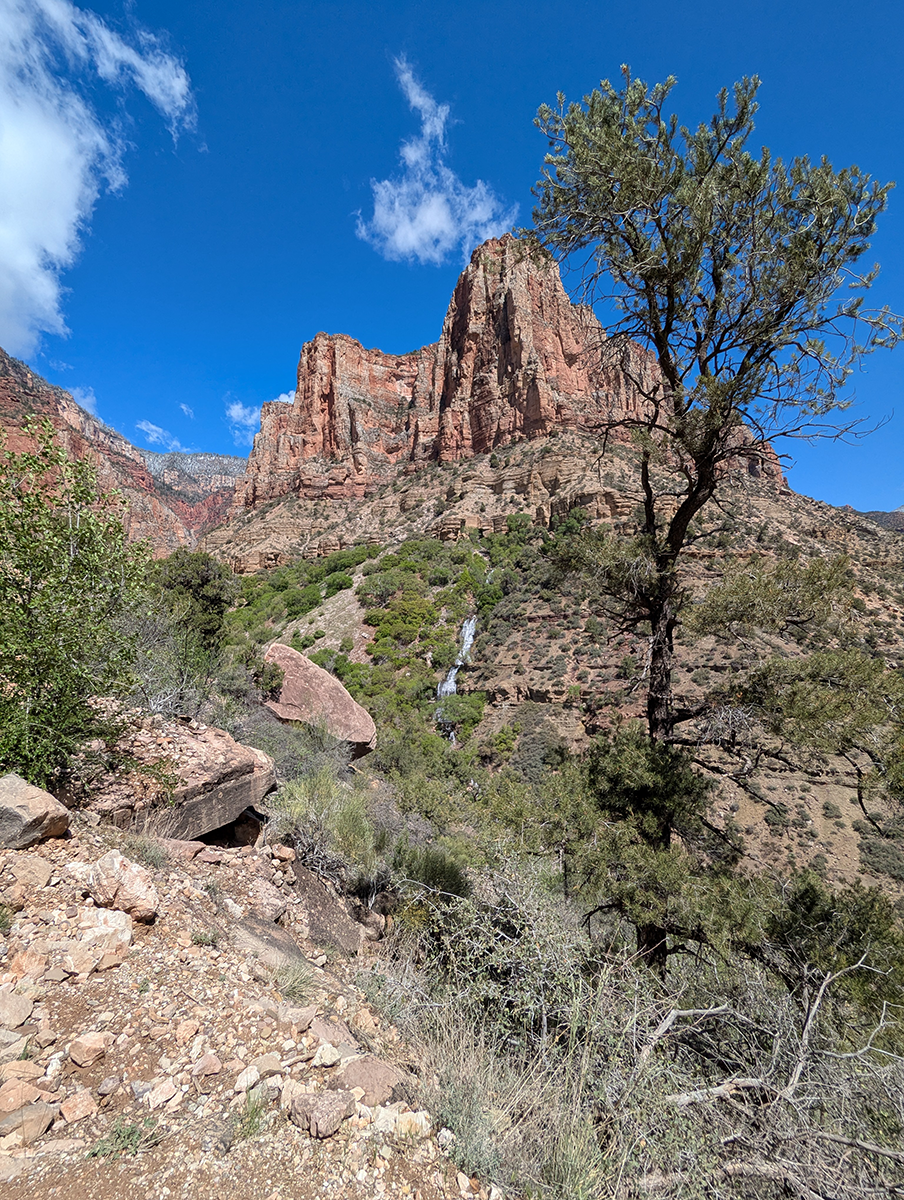
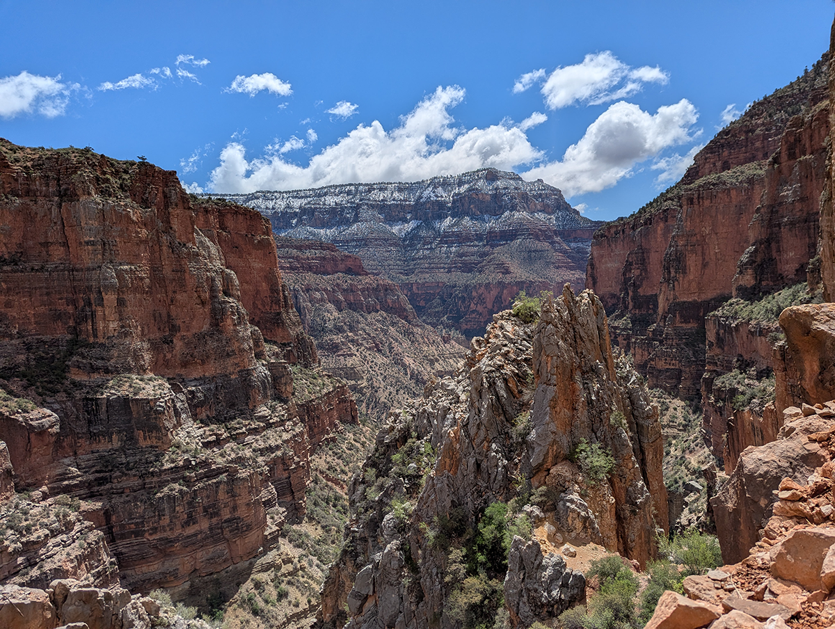
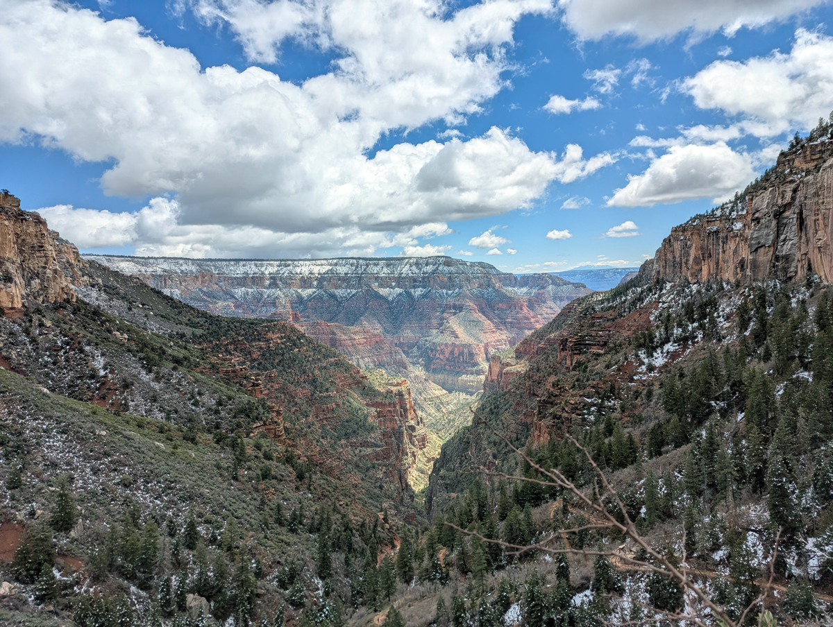
Manzanita to North Rim
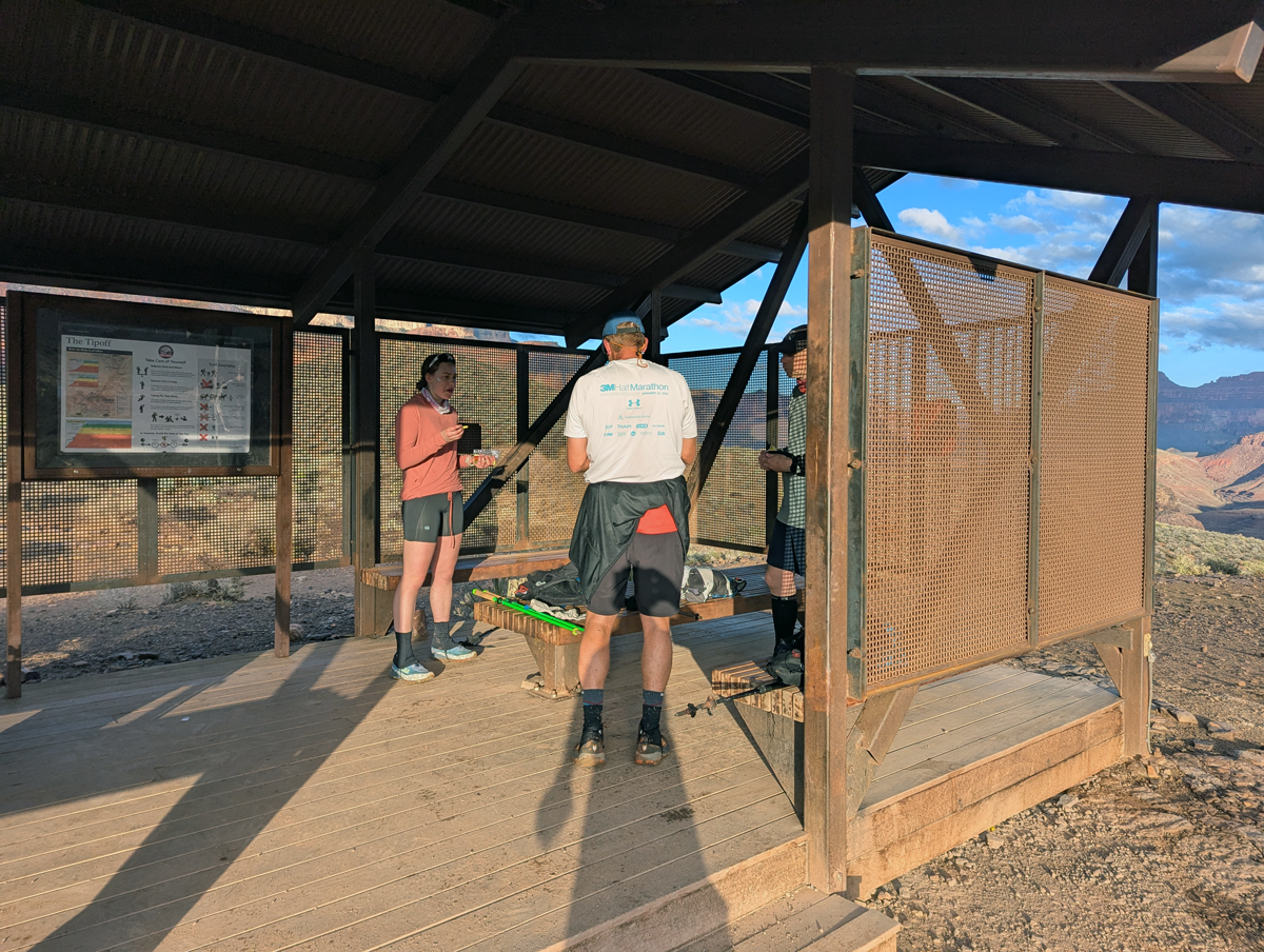
Roughly five miles below the North Rim summit is the Manzanita rest area, featuring fresh water and a small ranger station. We filled our water bladders, used the toilets, and sat for a short while and talked with other runners and hikers.
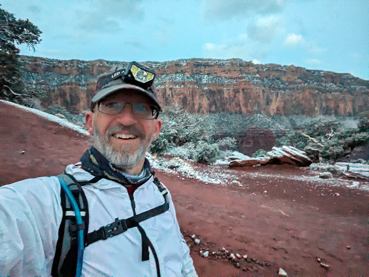
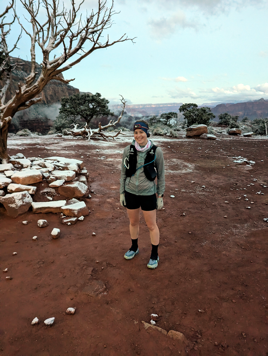
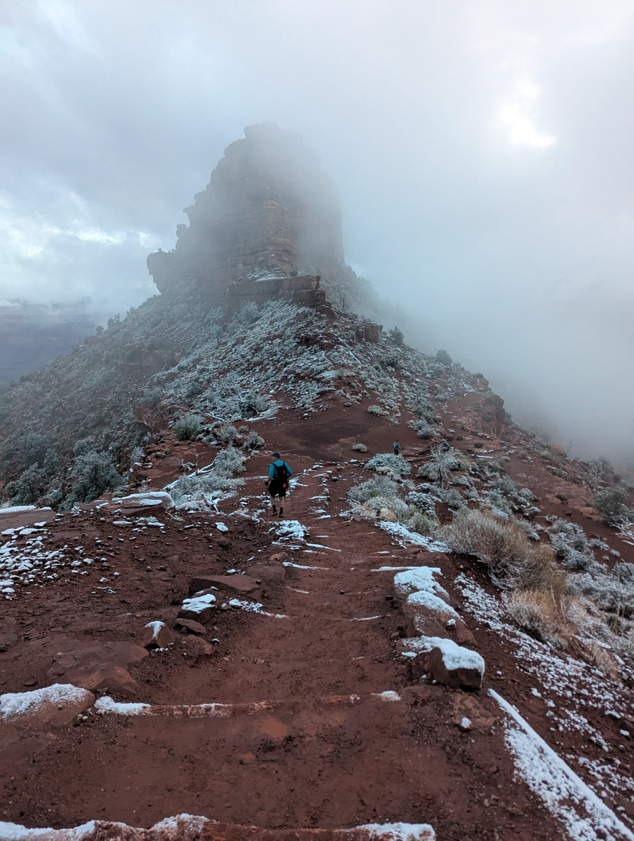
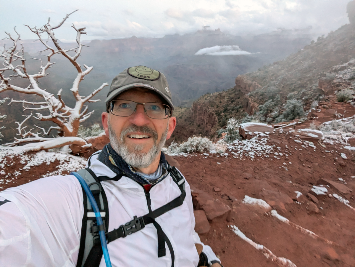
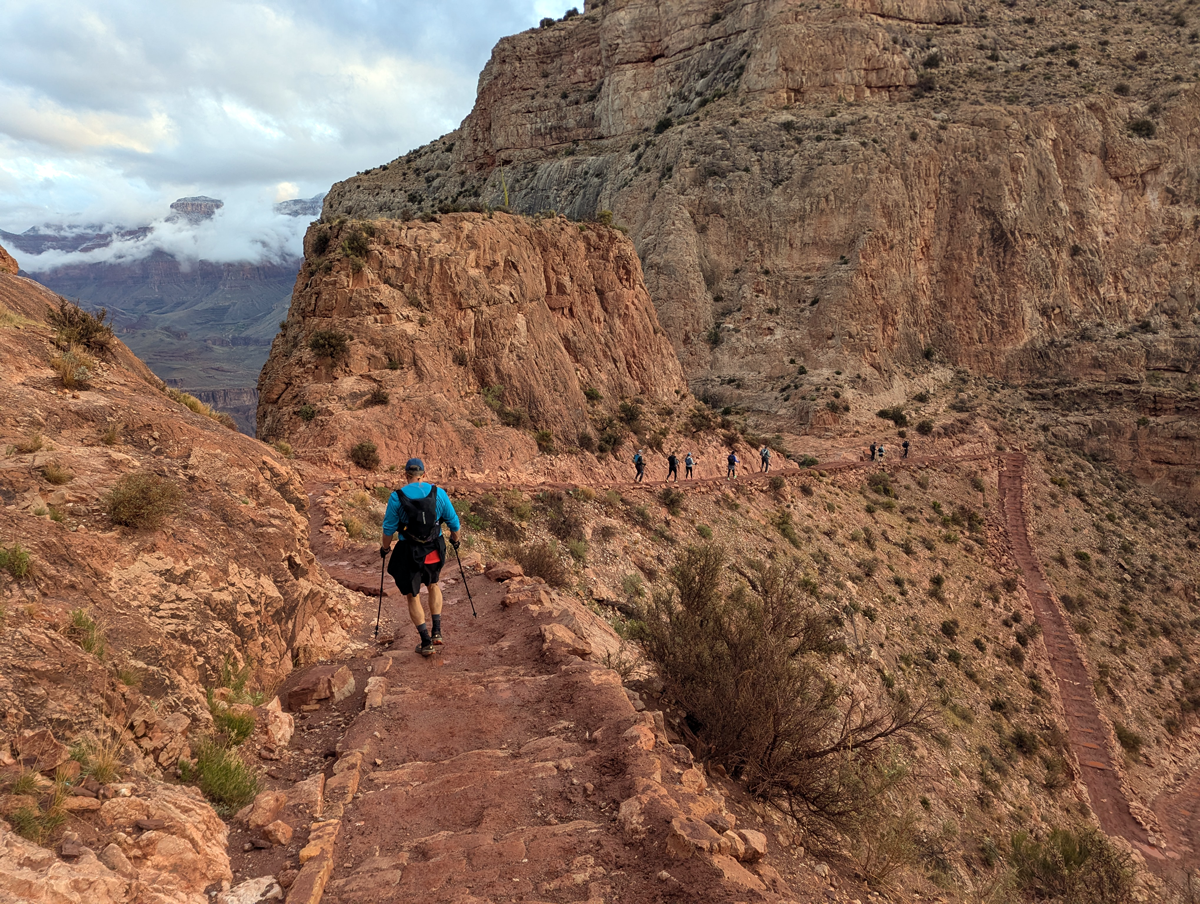
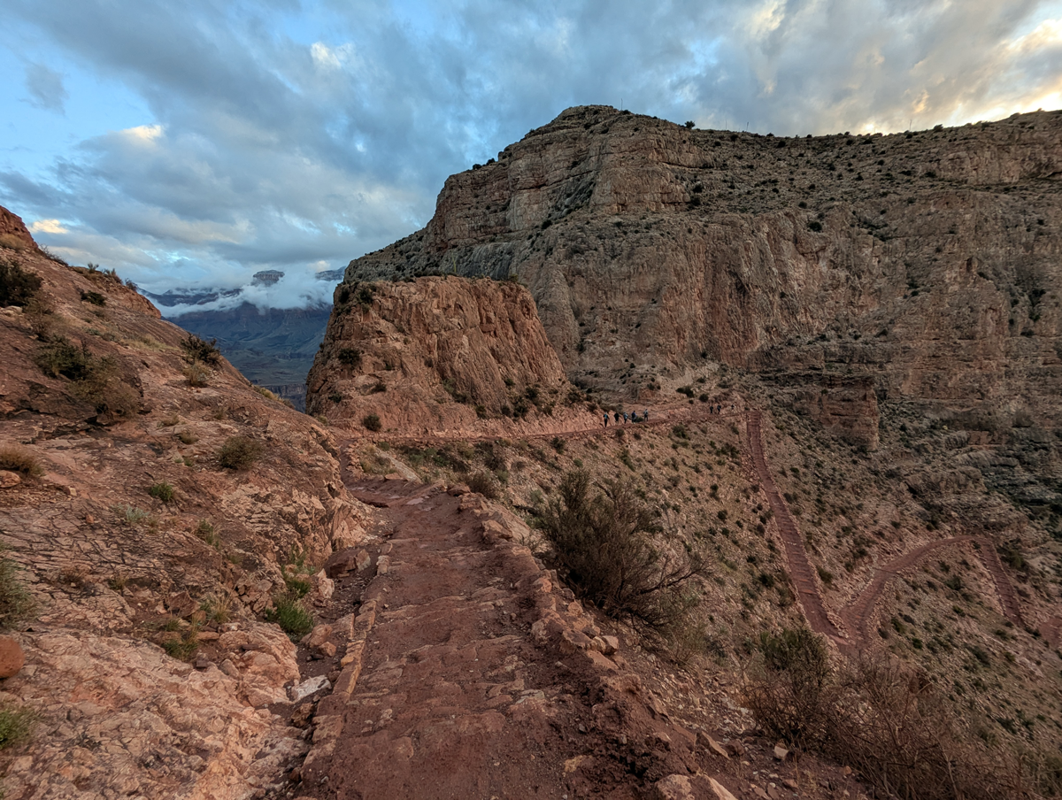
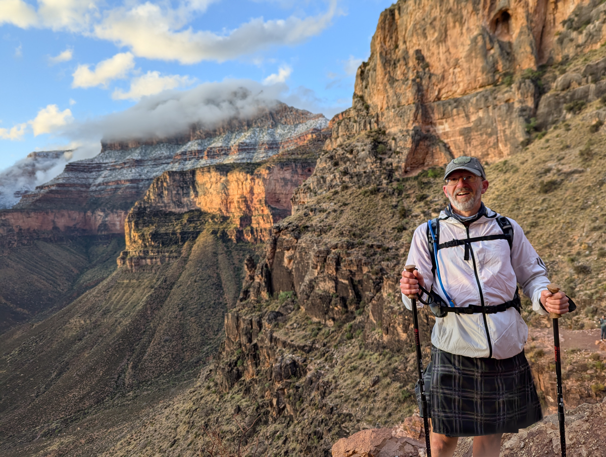
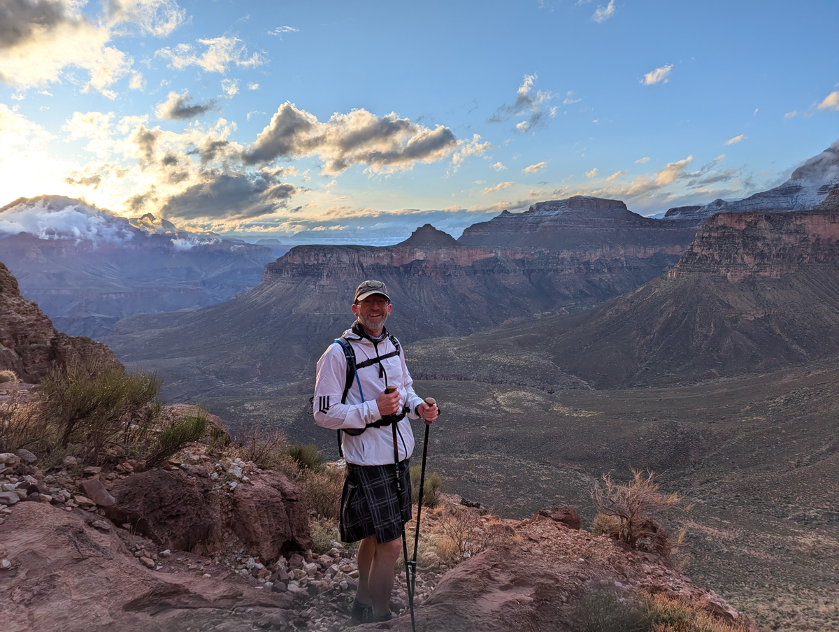
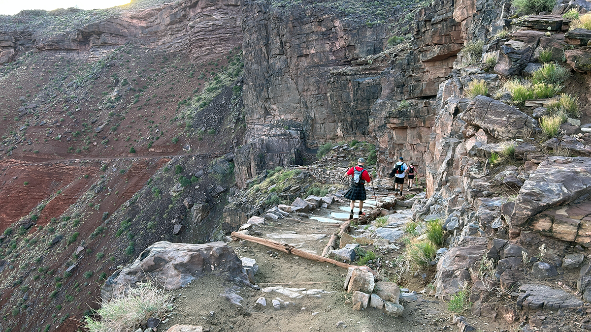
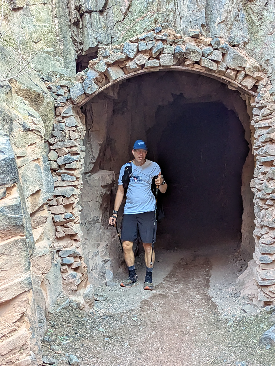
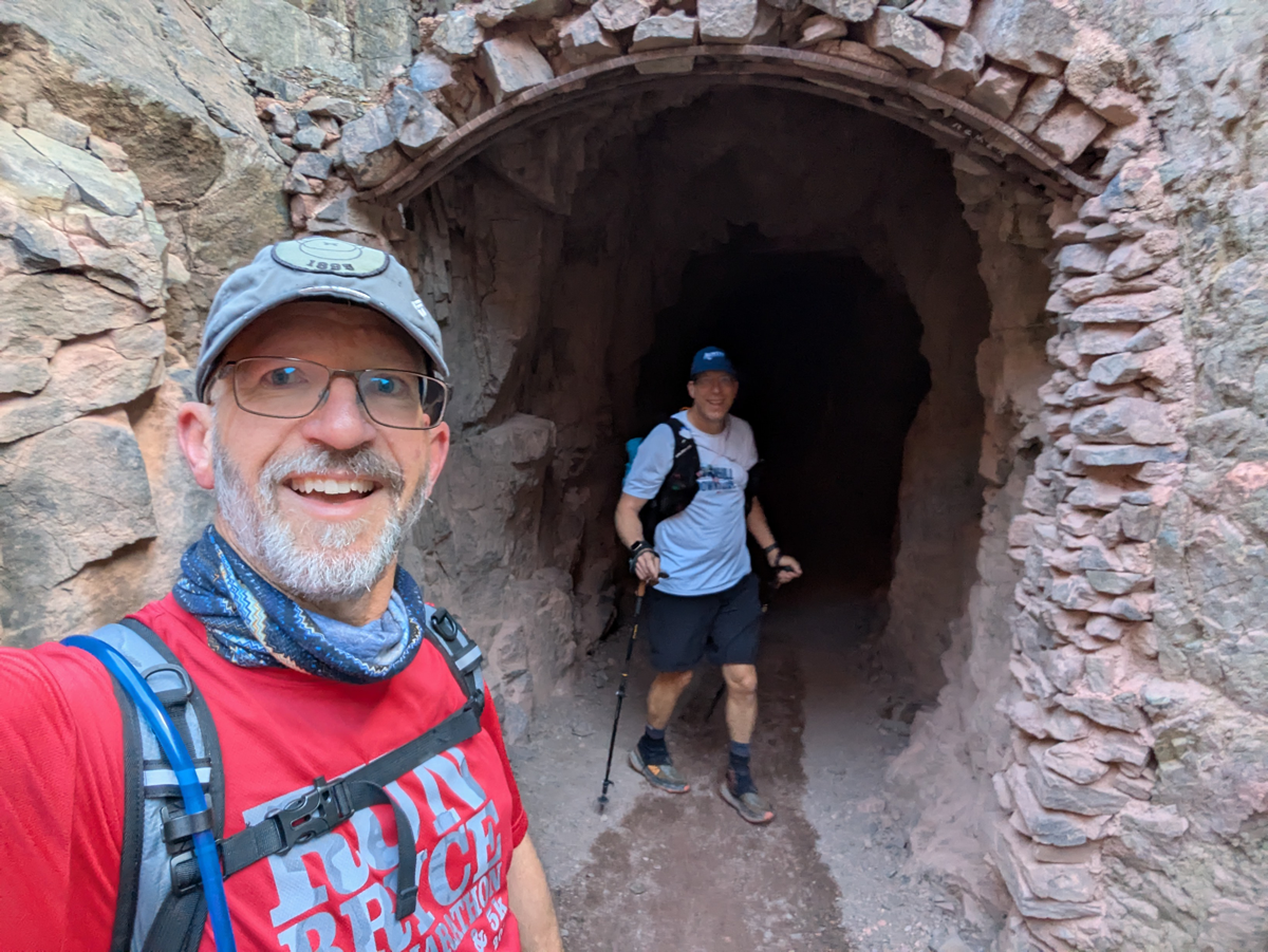
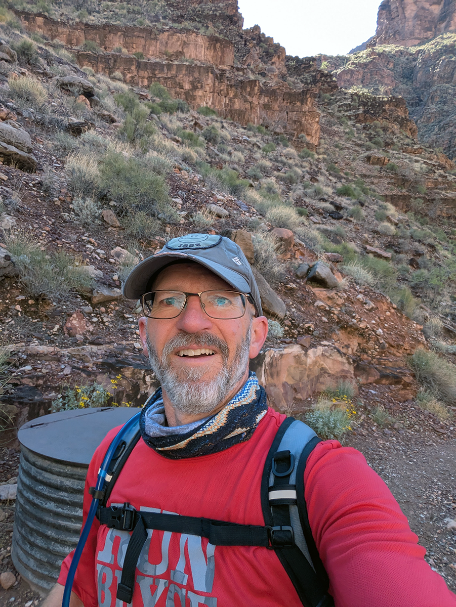
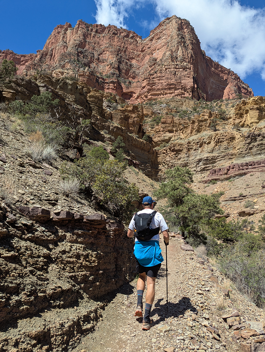
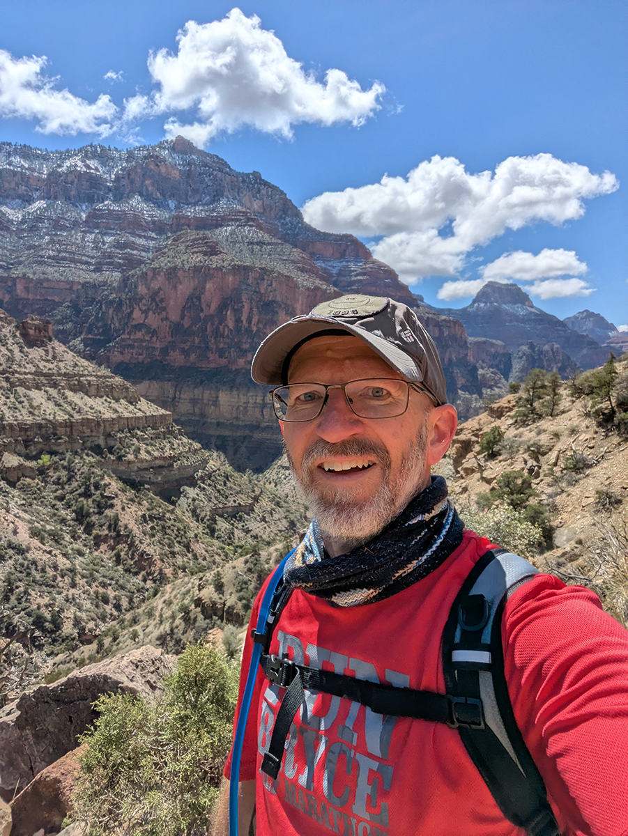
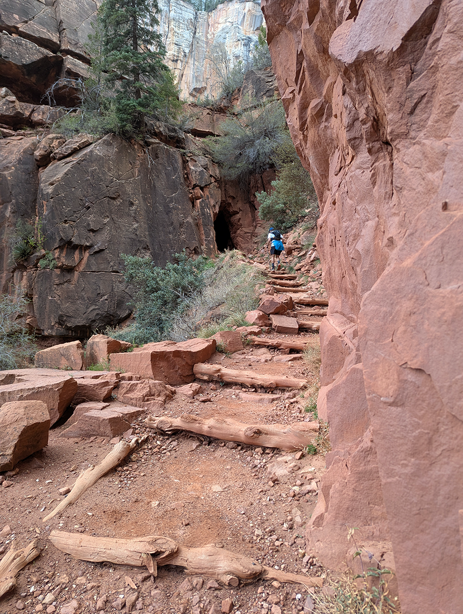
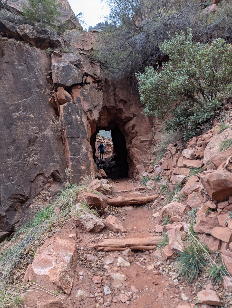
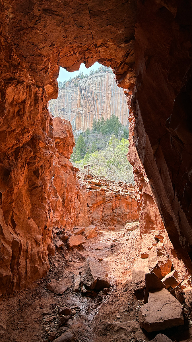
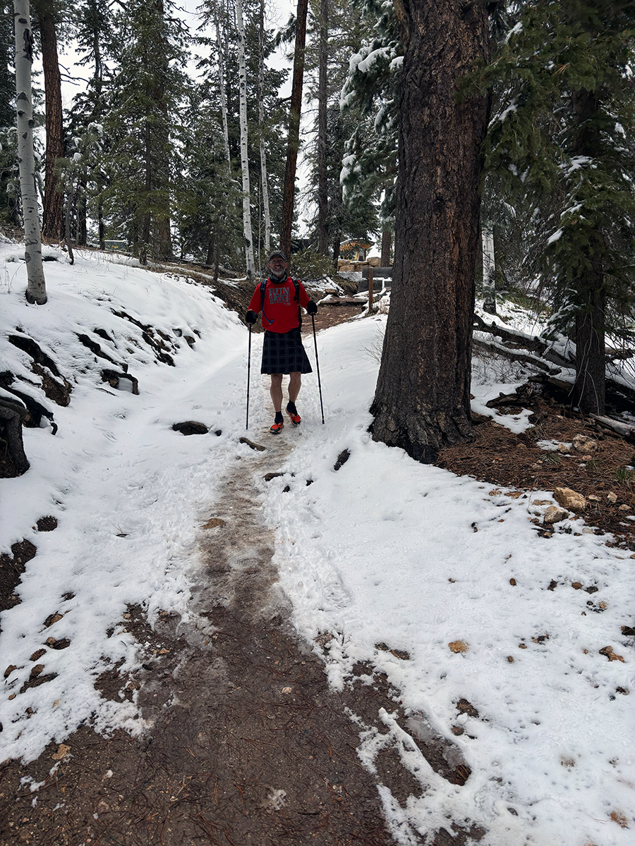
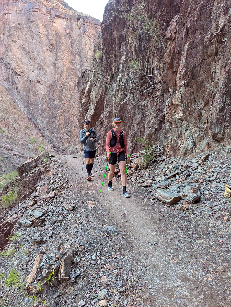
The trail above Manzanita gets noticibly steeper. No more running here—we reduced our pace to an aggressive power-hike. The further up we climbed, the more people we met coming back the other way. I got some funny comments about my hiking kilt, and took as many photos as I could. When we reached the Supai Tunnel, I got excited. We were getting closer and closer to the snow line, and also to a well-earned rest. The skies were clear, with fresh powder on the ground.
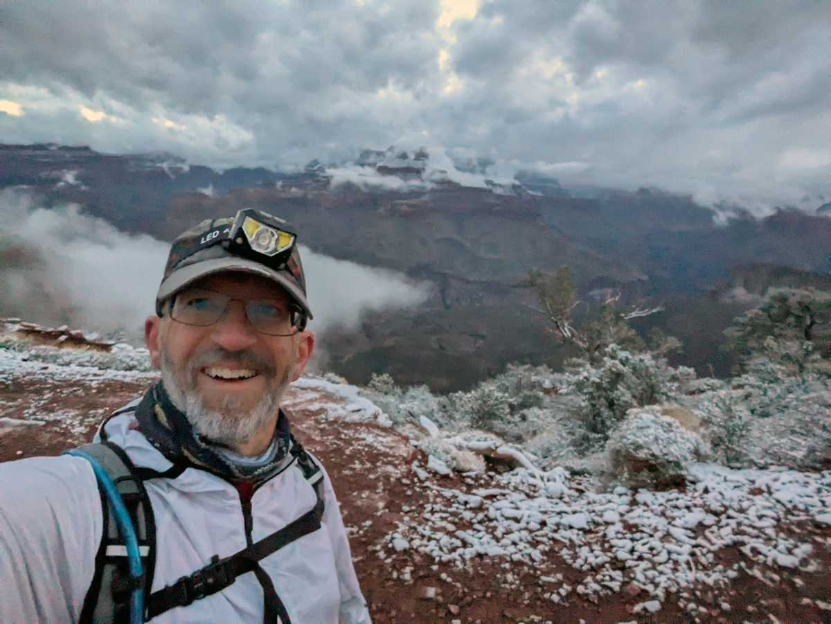
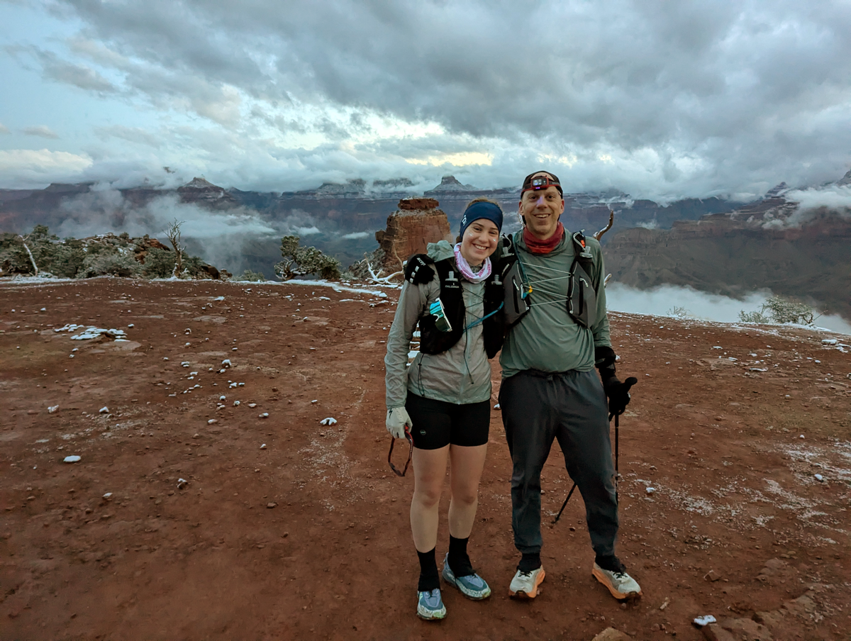
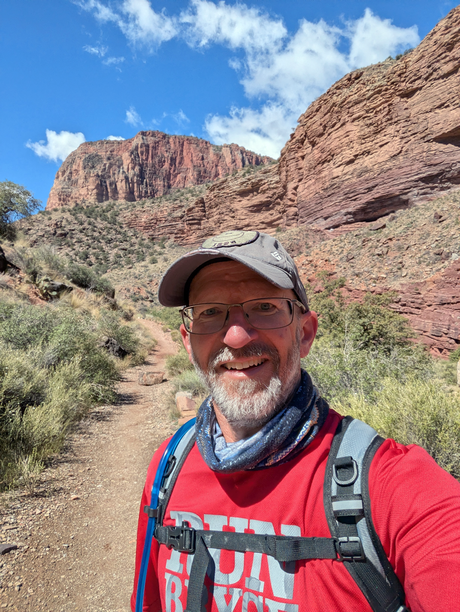
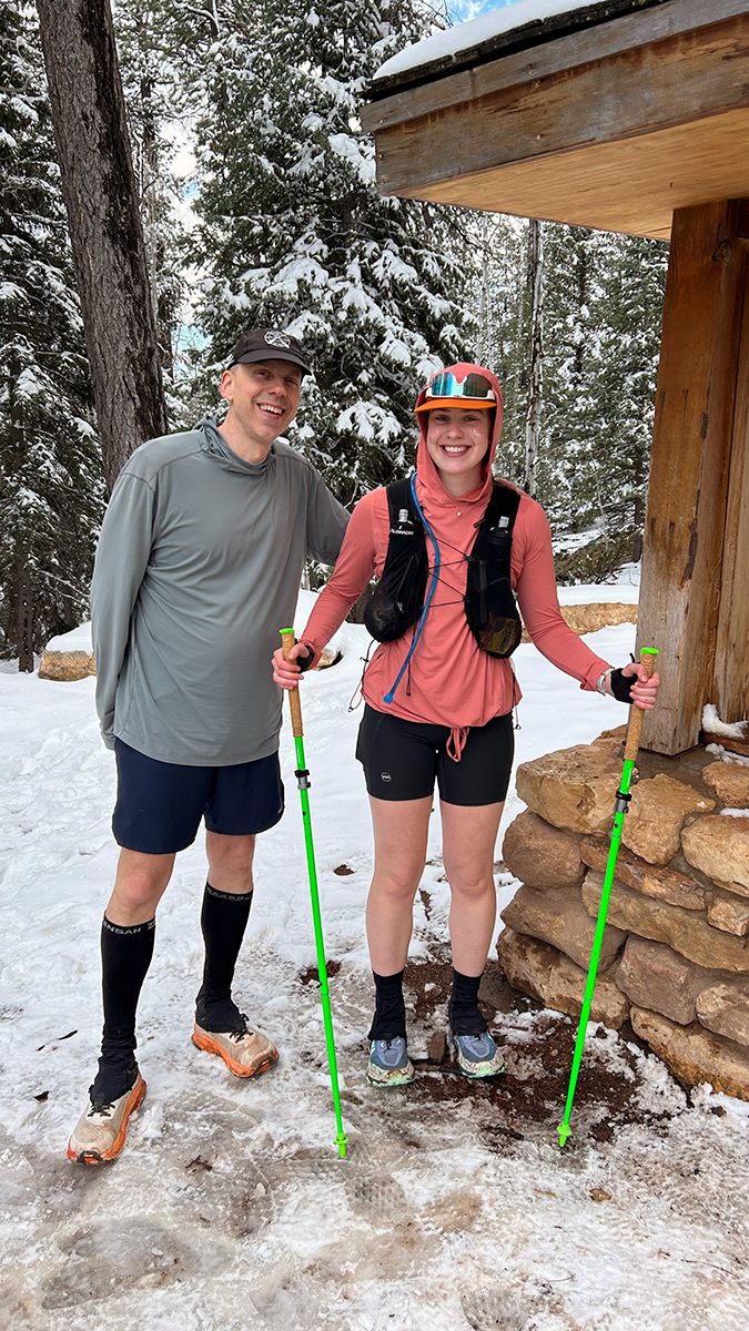
Reaching the North Rim was a first for me. I’ve been to the South Rim many times, but it was my very first visit to the North Rim. With a small group of runners and hikers, we gorged on food, took some photos, and rested for about half an hour. Sure, we’d just crossed the entire Grand Canyon on foot, but we still had to do it a second time before we could unlace our shoes.
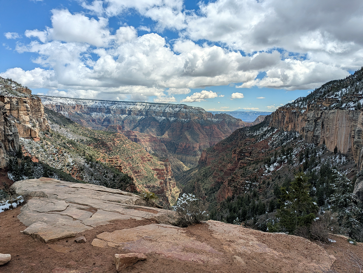
North Rim to Manzanita
The descent from the North Rim back to Manzanita felt steeper going down than coming up. As I got more and more fatigued, I had to remind myself not to shuffle my feet and risk catching a ledge and taking a tumble. The views going the other direction were at least as good (or better!) than the ones going up. When I ran out of water a mile and a half short of Manzanita, I focused on keeping up a conversation with Rob to distract me. It felt great to finally get to the spigot and fill up myself and my pack with water.
No dilly-dallying now. We shoved some more calories into our faces and hit the trail.
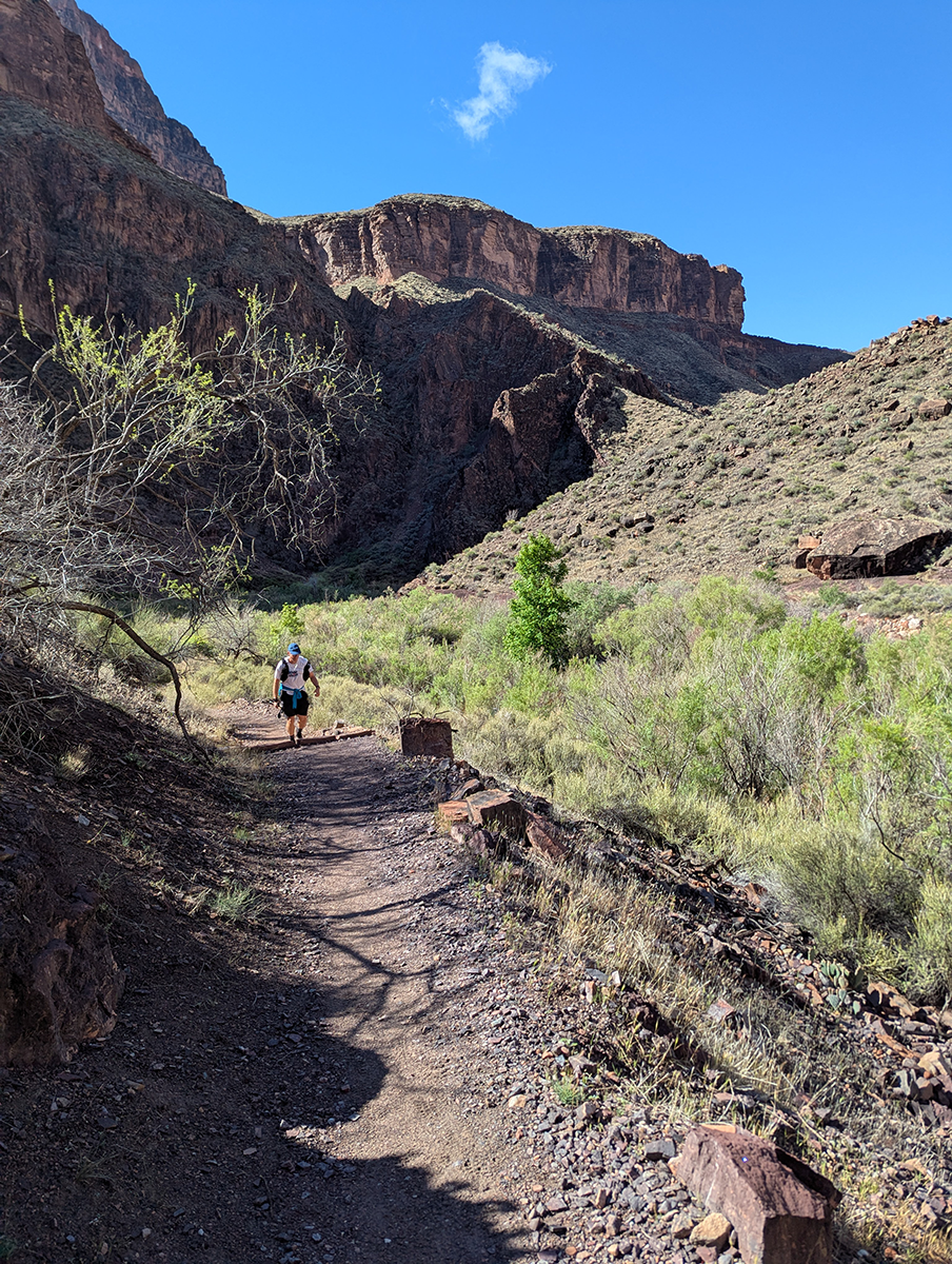
Manzanita to River
The nine or so miles from Manzanita to the river passed by in a blur. I ran (or trotted) much of this section of the trail with Greg’s daughter, swapping stories and listening to her talk about her post-graduation plans. She’s an impressive young woman—driven, disciplined and ambitious—and it made me happy to see someone from her generation with so much figured out.
Things got quieter as we plodded back through The Box. We’d hoped to make it back to Phantom Ranch in time to drink some of their world-famous lemonade (or “lemony”), but we didn’t make it in time. The canteen closes from 4:00 to 8:00 p.m., but we didn’t even consider hanging around. Instead, we used the toilets, filled up on water again, and plodded back toward the river.
River to South Kaibab Trailhead
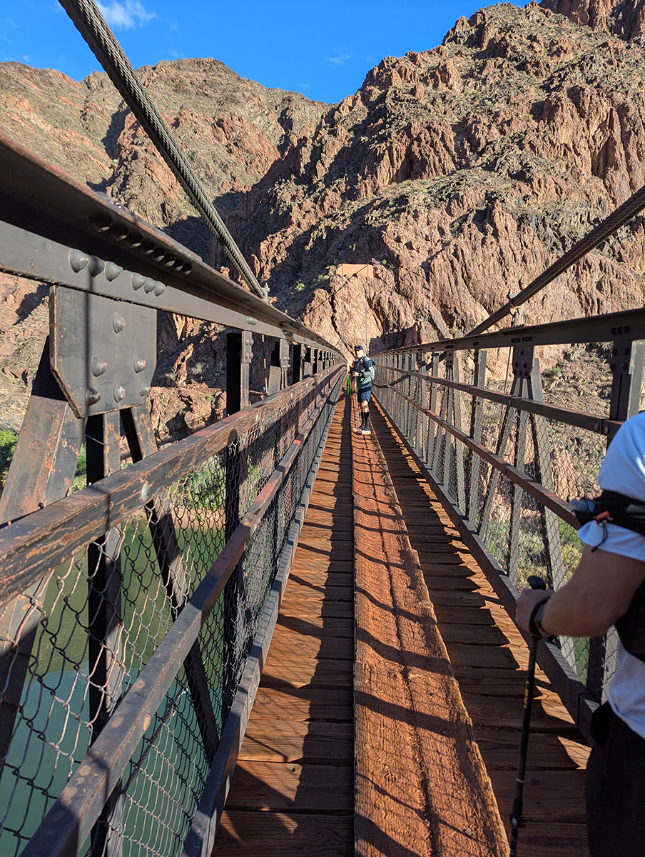
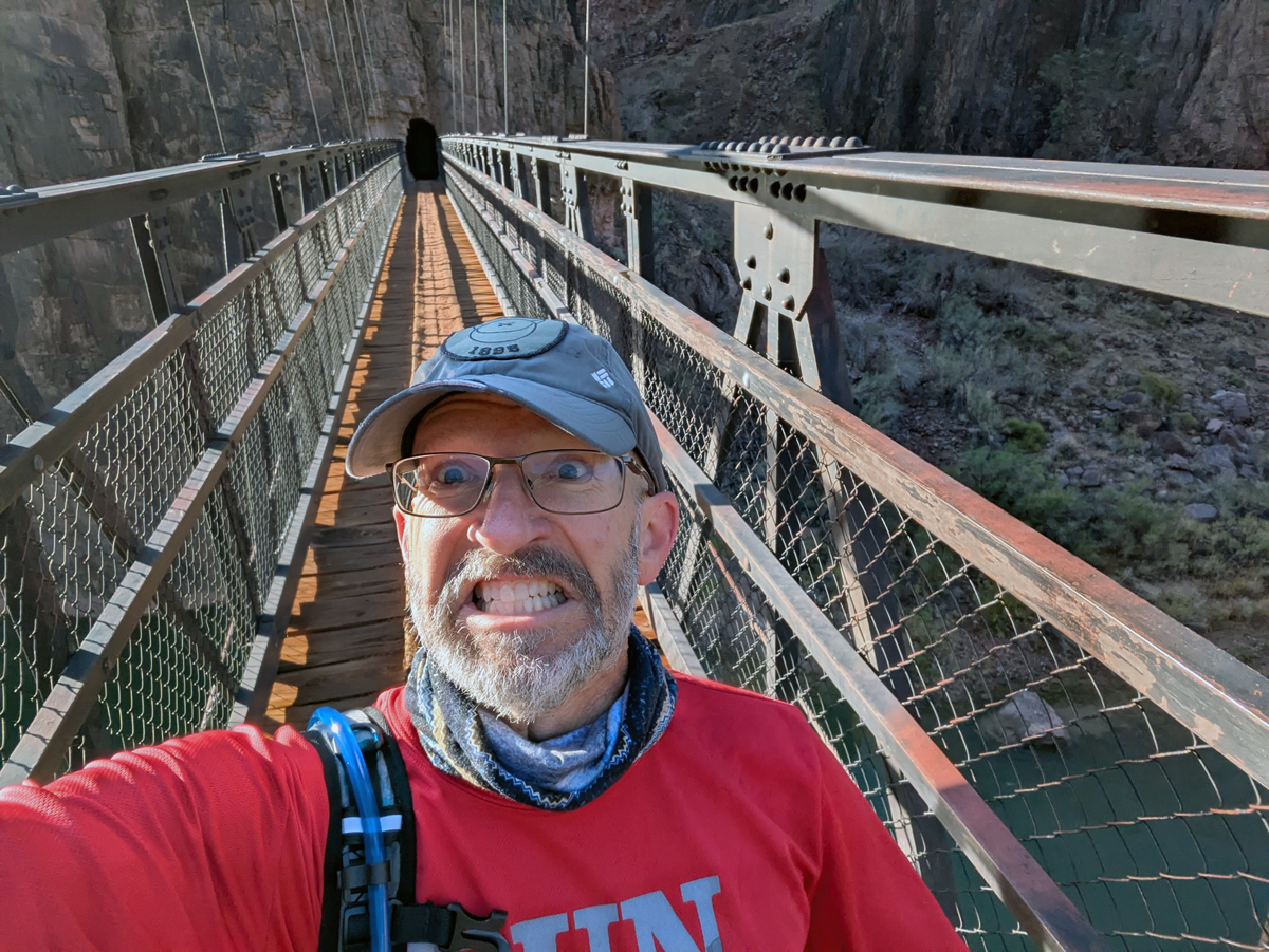
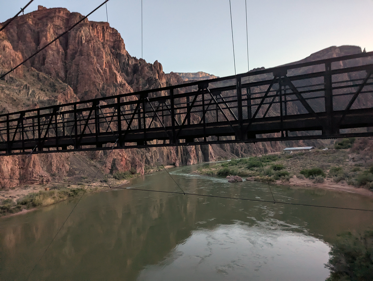
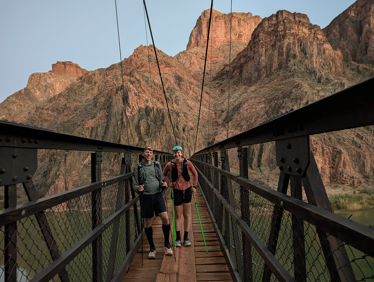
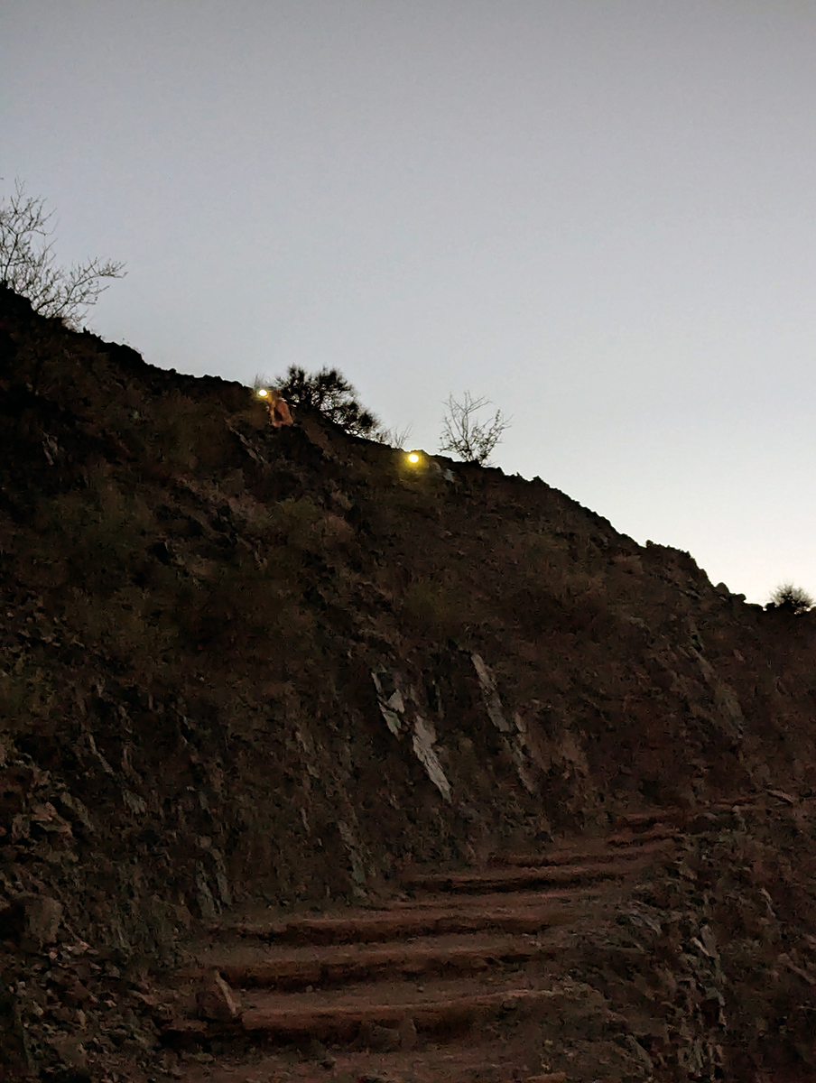
Dusk comes quickly in the canyon. It was already getting dark as we tramped across Black Bridge for the second time of the day. We’d already huddled up and decided we wouldn’t bother trying to stay together for the final climb. Once we hit the first switchbacks, Greg and his daughter were already pulling ahead and Rob was falling behind. I got just one photo as the sun went down: Greg and his soon-to-be-graduate, headlamps flaring, powering up the obstacle course trail.
My spirit was willing, but my flesh was getting weaker and weaker with each mile. I found the two leaders waiting for me at Skeleton Point, and we powered through the next mile or so with renewed vigor. Then I fell behind again as I picked my way carefully around the mud and puddles, always conscious of the thousand-foot drop on one side or the other. One foot in front of the other. I was physically and mentally exhausted. But if I wanted to sleep in a bed that night, I had to keep going.
“And miles go to before I sleep. And miles to go before I sleep.”
I’d been trudging uphill for what seemed like hours (because it was!) when I realized I needed a rest. The darkness was oppressive and frightening and disorienting. I could see lights up on the rim and headlamps of the runners and hikers below me. Leaning against a cliff face (I didn’t trust myself to sit down), I called Marion and we chatted for a few minutes. At this point, I was only a mile or so away, but the distance felt insurmountable. She promised me a kiss, a hug, and a sandwich, all of which were highly motivating. After telling her goodbye, I pushed myself off the wall and began my final push.
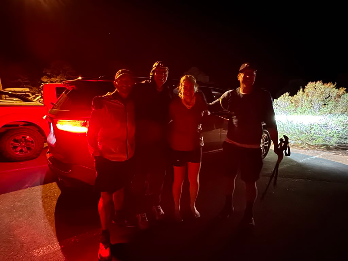
I guess I hadn’t realized how close I was to Greg and his daughter. Hearing them reach the trailhead, to the cheers of family members, inspired me to push faster. I practically dragged myself up the final switchbacks and over the little hump to the trailhead parking lot. There was Marion, along with Greg and his family. Rob came into view a few minutes later, and we welcomed him with as much enthusiasm as we could muster. The wind on the rim was getting colder, and the car heaters were on. We quickly posed for a last photo and collapsed into our vehicles. No sandwich ever tasted as good as the one Marion had waiting for me.
Wonder and Reward
I’ll never look at the Grand Canyon the same way again. Run-hiking from the South Rim to the North Rim and back was a rare opportunity few people will ever get to experience.
In spite of how hard it was—or maybe because of it—this was the most awe-inspiring experience I’ve ever had. Watching morning break within the canyon, feeling the closeness of The Box, experiencing the camaraderie of the trail, crossing the mighty Colorado—it was almost too much. Those final six uphill miles were some of the most difficult I’ve ever done.
All told, I logged 43 miles, 11,250 feet of vertical climbing, and 94,000 steps. And yes, I’d totally do it again.
